  | |
| UTC time | 1943-07-23 14:53:09 |
|---|---|
| ISC event | 899940 |
| USGS-ANSS | ComCat |
| Local date | July 23, 1943 |
| Local time | 21:43 |
| Magnitude | 7.4 Mw [1] |
| Depth | 60 km (37 mi) [1] |
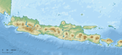
| Epicenter | 8°35′S109°48′E / 8.59°S 109.80°E [1] |
| Areas affected | Indonesia |
| Max. intensity | MMI VIII (Severe) [2] |
| Casualties | 213 killed |
The 1943 Central Java earthquake occurred on July 23 at 14:53:10 UTC with a moment magnitude of 7.4 near Java, which was under Japanese occupation. [3] At least 213 people were killed. [4]