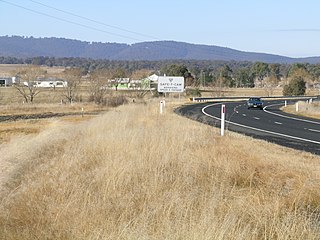
Ebor is a village on Waterfall Way on the Northern Tablelands in New South Wales, Australia. It is situated about 80 km (50 mi) east of Armidale and about a third of the way between Armidale and the coast. Dorrigo to the east is 46 kilometres (29 mi) away with the Coffs Coast 55 kilometres (34 mi) away along Waterfall Way. In the 2021 census, Ebor's zone had a population of 149.

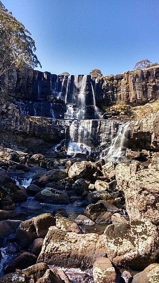
The New England National Park is a protected national park located on the Northern Tablelands in the New England region of New South Wales, Australia. The 67,303-hectare (166,310-acre) park was created in May 1935 and is situated approximately 560 kilometres (350 mi) north of Sydney, and 10 kilometres (6.2 mi) south of Waterfall Way, just 85 kilometres (53 mi) east of Armidale and 65 kilometres (40 mi) west of Coffs Harbour. The closest village to New England National Park is Ebor, located 20 kilometres (12 mi) away.

New England is a geographical region in the north of the state of New South Wales, Australia, about 60 km inland from the Tasman Sea. The area includes the Northern Tablelands and the North West Slopes regions. As of 2021, New England had a population of 185,560, with over a quarter of the people living in the area of Tamworth Regional Council.

Tenterfield is a regional town in New South Wales, Australia, situated at the junction of the New England and Bruxner highways, along the Northern Tablelands, within the New England region. At the 2016 census, Tenterfield had a population of 4,066. Tenterfield's proximity to many regional centres and its position on the route between Sydney and Brisbane led to its development as a centre for the promotion of the federation of Australia.

Thunderbolts Way is a 305-kilometre (190 mi) country road located in the Northern Tablelands region of New South Wales, Australia, linking Inverell via Bundarra, Uralla and Walcha to Gloucester The road is partially sealed and passes through thickly forested mountain areas with many nearby national parks and nature reserves.

Guyra is a town situated midway between Armidale and Glen Innes on the Northern Tablelands in the New England region of New South Wales, Australia. It is within Armidale Regional Council and at the 2016 census, it had a population of 1,983.
Mount Duval, a large forested mountain of the New England Range, part of the Great Dividing Range, is located on the Northern Tablelands in the New England region of New South Wales, Australia.

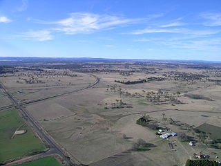
The Northern Tablelands, also known as the New England Tableland, is a plateau and a region of the Great Dividing Range in northern New South Wales, Australia. It includes the New England Range, the narrow highlands area of the New England region, stretching from the Moonbi Range in the south to the Queensland border in the north. The region corresponds generally to the Bureau of Meteorology forecast area for the Northern Tablelands which in this case includes Inverell although it is significantly lower in elevation.

Ben Lomond is a village on the Northern Tablelands in the New England region of New South Wales, Australia. The village is situated 6 km off the New England Highway between Armidale and Glen Innes. It was located in the Guyra Shire local government area until that council was amalgamated into the Armidale Regional Council on 12 May 2016, with parts of the surrounding district in Glen Innes Severn Shire and Inverell Shire. It is primarily a farming area, with most of the residents involved in sheep, cattle and grain farming.

Uralla Shire is a local government area located in the New England region of New South Wales, Australia. The New England Highway passes through the Shire.

The Dorrigo Plateau is a plateau in the Northern Tablelands and New England regions of New South Wales, Australia. The plateau forms part of the Great Dividing Range and is sometimes referred to as the Dorrigo and Guy Fawkes Plateau.

Llangothlin is a rural locality with several houses, 11 kilometres (7 mi) north of Guyra on the Northern Tablelands in the New England region of New South Wales, Australia. Llangothlin was located in the Guyra Shire local government area until that council was amalgamated into the Armidale Regional Council on 12 May 2016.
Dundee is a rural locality about 40 kilometres north of Glen Innes on the Northern Tablelands, New South Wales, Australia. It is situated on the New England Highway at the Severn River in Severn parish, Gough County, New South Wales. The elevation is 985 metres.
Kellys Plains is a small rural locality situated about 8 kilometres west south west of Armidale, New South Wales. The settlement is at an altitude of about 1,044 metres on the Northern Tablelands in the New England region of New South Wales, Australia.

Wandsworth is a locality on the Northern Tablelands in the New England region of New South Wales, Australia.

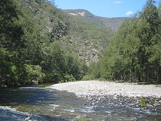
Gara River, a perennial river that is a tributary of the Macleay River, is located in the Northern Tablelands region of New South Wales, Australia.
Little Nymboida River, a perennial stream of the Clarence River catchment, is located in the Northern Rivers and Northern Tablelands districts of New South Wales, Australia. It flows through the village of Lowanna.
Chandler River, a perennial stream of the Macleay River catchment, is located in the Northern Tablelands district of New South Wales, Australia.
The Clouds Creek, a perennial stream that is part of the Clarence River catchment, is located in the Northern Tablelands region of New South Wales, Australia.

The Armidale Region is a local government area in the New England and Northern Tablelands regions of New South Wales, Australia. This area was formed in 2016 from the merger of the Armidale Dumaresq Shire with the surrounding Guyra Shire.

