Related Research Articles

The Taunton River, historically also called the Taunton Great River, is a river in southeastern Massachusetts in the United States. It arises from the confluence of the Town River and Matfield River, in the town of Bridgewater. From there it meanders through the towns of Halifax, Middleborough and Raynham, through the city of Taunton for which it is named, the towns of Berkley, Dighton, Somerset, and the Assonet section of Freetown, to Fall River where it joins Mount Hope Bay, an arm of Narragansett Bay.

The Assonet River is located in Bristol County, Massachusetts. It flows 7.4 miles (11.9 km) in a westerly direction through Freetown and joins the Taunton River near Assonet Neck in Berkley, Massachusetts.
Stall Hill Island is a small forested inland island on Lake Rico within Massasoit State Park in Taunton, Massachusetts, United States.

The Segreganset River is a small river in Bristol County, Massachusetts that flows 9.6 miles (15.4 km) in a southeasterly direction through Taunton and Dighton into the Taunton River. Named tributaries include the Maple Swamp, Poppasquash Swamp, Sunken Brook and Cedar Swamp.
The Cotley River is a small river in Taunton and Berkley, Massachusetts that is a tributary of the Taunton River. It flows approximately 5.8 miles (9.2 km) in a northwesterly direction from the southeast part of Taunton near Seekell Street to Barstows Pond near the village of East Taunton where it joins the Taunton River.

The Three Mile River or Threemile River is a river in Bristol County, Massachusetts. It is formed by the junction of the Rumford and Wading rivers in the town of Norton. It flows in a southeasterly direction for 13.5 miles (21.7 km) through the towns of Norton, Taunton and Dighton, where it joins the Taunton River.

The Forge River is a 5.1-mile-long (8.2 km) river in the town of Raynham in southeastern Massachusetts. It is a tributary of the Taunton River. It rises from Gushee Pond near Interstate 495 and flows northwest through Titicut Swamp, then turns southwest for the rest of its course. It flows through Hewitt Pond, passes the neighborhood of Tracy Corner, then continues through Johnson Pond and the village of Raynham Center to its junction with the Taunton River.

The Town River is a river in Plymouth County, Massachusetts, United States. It flows 10.6 miles (17.1 km) from the northeast end of Lake Nippenicket in the town of Bridgewater, flowing easterly through West Bridgewater, then south back into Bridgewater where it joins with the Matfield River to form the Taunton River.
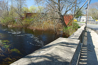
The Nemasket or Namasket River is a small river in southeastern Massachusetts. It flows north 11.2 miles (18.0 km) from Assawompset Pond in Lakeville and through Middleborough where it empties into the Taunton River. The Nemasket's sole tributary is Fall Brook, which drains out from Tispaquin Pond.
The Winnetuxet River is a 12.1-mile-long (19.5 km) river in southeastern Massachusetts. It flows west from an unnamed pond near Cole Mill in Carver, through Plympton and Halifax, to the Taunton River.

Assonet Bay is a lake in Assonet, a village within the town of Freetown, Massachusetts. The Assonet River connects the waters of the bay with the Taunton River.
The Rumford River is a small river in southeastern Massachusetts, United States, that is a tributary of the Threemile River in the Taunton River watershed. The Rumford River, 23.1 kilometres (14.4 mi) long, begins within the town of Foxborough and flows south through Mansfield to the Norton Reservoir, within the town of Norton, then continues to its confluence with the Wading River to form the Threemile River.
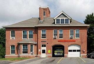
East Taunton is a suburban neighborhood of Taunton, Massachusetts, United States.
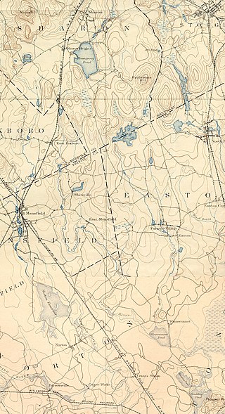
The Canoe River is a river in southeastern Massachusetts. It is 14.4 miles (23.2 km) long and part of the Taunton River Watershed.
The Runnins River is a river in the U.S. states of Massachusetts and Rhode Island. It flows approximately 14 km (9 mi).
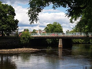
Weir Village is a village of the city of Taunton in Bristol County, Massachusetts, located about one mile south of the city center on the banks of the Taunton River, near the point where it becomes tidal. The village takes its name from fishing weirs which were placed across the Taunton River from pre-colonial times until the early 20th century, to catch herring. While much of the commercial part of the village lies on the west side of the river, along Weir Street , a dense residential area extends in an easterly direction across the river along Plain and Berkley Streets.

Myricks is an association community or populated place located in Berkley, Bristol County, Massachusetts. The elevation is 62 feet. Myricks appears on the Assonet U.S. Geological Survey Map.
The Cocasset River is a small river in Foxborough, Massachusetts. It flows approximately 4.7 miles (7.5 km) in a southwesterly direction to where it joins the Wading River near Green Street. It is a tributary of the Taunton River.
The Salisbury Plain River is a 4.7-mile-long (7.6 km) river in Plymouth County, Massachusetts that flows from the city of Brockton into the towns of West Bridgewater and East Bridgewater where it joins the Matfield River, a major tributary of the Taunton River.
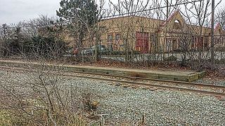
Taunton station was a passenger rail station located south of Oak Street in downtown Taunton, Massachusetts. As Taunton Central station, it served local and Boston-focused routes from 1836 to 1964. A later station at the same site served Amtrak's Cape Codder from 1986 to 1996, and Cape Cod and Hyannis Railroad commuter trains in 1988.
References
- ↑ U.S. Geological Survey. National Hydrography Dataset high-resolution flowline data. The National Map Archived 2012-03-29 at the Wayback Machine , accessed April 1, 2011
- ↑ USGS Quadrangle Map
- ↑ Old Rail History
41°49′12″N71°01′44″W / 41.820°N 71.029°W