
Granville is a suburb in Western Sydney, in the state of New South Wales, Australia. Granville is located 18 kilometres (11 mi) west of the Sydney central business district, split between the local government areas of Cumberland City Council and the City of Parramatta.

The Parramatta River is an intermediate tide-dominated, drowned valley estuary located in Sydney, New South Wales, Australia. With an average depth of 5.1 metres (17 ft), the Parramatta River is the main tributary of Sydney Harbour, a branch of Port Jackson. Secondary tributaries include the smaller Lane Cove and Duck rivers.

The Lane Cove River, a northern tributary of the Parramatta River, is a tide-dominated, drowned valley estuary west of Sydney Harbour, located in Sydney, New South Wales, Australia. The river is a tributary of the Parramatta River, winding through a bushland valley. It joins Parramatta River at Greenwich and Woolwich, where together they form an arm of Sydney Harbour, and serves as a border along with Middle Harbour separating Sydney's North Shore.

Great Western Highway is a 202-kilometre-long (126 mi) state highway in New South Wales, Australia. From east to west, the highway links Sydney with Bathurst, on the state's Central Tablelands.

Camellia is a suburb of Sydney, in the state of New South Wales, Australia. Primarily industrial with no residential population, environmental remediation commenced in late 2015, with the suburb ear-marked as a major centre for future high density living.

James Ruse Drive is a 6.4-kilometre-long (4.0 mi) limited-access urban highway located to the east and north of Parramatta, in Western Sydney, New South Wales, Australia. Originally a series of disconnected urban streets, it was later upgraded to act as a bypass of central Parramatta.

Iron Cove Creek, a southern tributary of the Parramatta River, is an urban stream west of Sydney Harbour, located in the inner-western Sydney suburbs of Croydon, Ashfield, Haberfield and Five Dock in New South Wales, Australia.

The Duck River is a perennial stream and southern tributary of the Parramatta River, in Sydney, New South Wales, Australia.
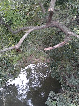
A'Becketts Creek is a perennial stream and a northern tributary of the Duck River and part of the Parramatta River catchment, in Sydney, New South Wales, Australia.
Ponds/Subiaco Creek, a joint northern tributary of the Parramatta River, is a creek north-west of Sydney Harbour, located in the Northern Suburbs region of Sydney, New South Wales, Australia. The Creek is also known as The Ponds and the Subiaco Creek respectively. It is followed by a walking track known as 'The Ponds Walk'.
Vineyard Creek, a northern tributary of the Parramatta River, is a creek in Sydney, Australia.

Tarban Creek, a northern tributary of the Parramatta River, is a creek west of Sydney Harbour, in Sydney, New South Wales, Australia.
Smalls Creek, a northern tributary of the Parramatta River, is a creek west of Sydney Harbour, located in Sydney, New South Wales, Australia. It joins the Parramatta River at Meadowbank Park, Meadowbank.
Archer Creek, a northern tributary of the Parramatta River, is a creek west of Sydney Harbour, located in Sydney, New South Wales, Australia. It joins the Parramatta River at Meadowbank Park, Meadowbank.

Toongabbie Creek, an urban watercourse that is part of the Parramatta River catchment, is located in Greater Western Sydney, New South Wales, Australia.

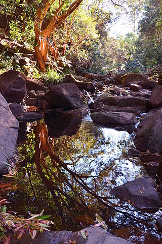
The Darling Mills Creek, an urban watercourse that is part of the Parramatta River catchment, is located in Greater Western Sydney, New South Wales, Australia.
Devlins Creek, an urban watercourse that is part of the Parramatta River catchment, is located in Northern Suburbs region of Sydney, Australia.
Scout Creek is an urban gully, is located in Hornsby Shire local government area of Sydney, New South Wales, Australia. It is part of the Parramatta River catchment.
Gore Creek, an urban watercourse that is part of the Parramatta River catchment, is located in Northern Suburbs region of Sydney, Australia.
The M4 cycleway is a 15-kilometre-long (9.3 mi) shared use path for cyclists and pedestrians that is generally aligned with the M4 Motorway in Sydney, New South Wales, Australia. The eastern terminus of the cycleway is in Sydney Olympic Park, while the western terminus is in South Wentworthville.
