
The Garigal National Park is a protected national park that is located within the North Shore and Forest District regions of Sydney, New South Wales, in eastern Australia. The 2,202-hectare (5,440-acre) national park is situated approximately 20 kilometres (12 mi) north of the Sydney central business district.

The Northern Beaches is a region within Northern Sydney, in the state of New South Wales, Australia, near the Pacific coast. This area extends south to the entrance of Port Jackson, west to Middle Harbour and north to the entrance of Broken Bay. The area was formerly inhabited by the Garigal or Caregal people in a region known as Guringai country.

Middle Harbour, a semi–mature tide dominated drowned valley estuary, is the northern arm of Port Jackson, an inlet of the Tasman Sea located north of Sydney central business district on the coast of New South Wales, Australia.

Pittwater is a semi-mature tide dominated drowned valley estuary, located about 40 kilometres (25 mi) north of the Sydney central business district, New South Wales, Australia; being one of the bodies of water that separate greater Metropolitan Sydney from the Central Coast.

Roseville Chase is a suburb on the Upper North Shore of Sydney in the state of New South Wales, Australia 11 kilometres north-west of the Sydney central business district, in the local government area of Ku-ring-gai Council. Roseville is a separate suburb to the west.

Wolli Creek is an urban watercourse of the Cooks River catchment located in the southern suburbs of Sydney, in New South Wales, Australia.

The Berowra Creek, a watercourse that is part of the Hawkesbury-Nepean catchment, is located to the north of the Sydney central business district in the Hornsby Shire of New South Wales, Australia.

Cabramatta Creek, an urban watercourse of the Georges River catchment, is located in the South Western Sydney, in New South Wales, Australia. The catchment area of the creek is approximately 74 square kilometres (29 sq mi), and within the catchment area are the Cabramatta Creek, Hinchinbrook Creek, Maxwells Creek, and Brickmakers Creek.

The geography of Sydney is characterised by its coastal location on a basin bordered by the Pacific Ocean to the east, the Blue Mountains to the west, the Hawkesbury River to the north and the Woronora Plateau to the south. Sydney lies on a submergent coastline on the east coast of New South Wales, where the ocean level has risen to flood deep river valleys (rias) carved in the Sydney sandstone. Port Jackson, better known as Sydney Harbour, is one such ria.
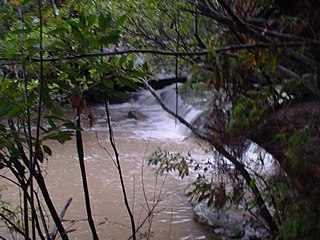
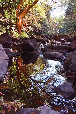
Middle Harbour Creek, a tributary of Middle Harbour, is a youthful tide-dominated, drowned-valley estuary north–west of Sydney Harbour, in Sydney, New South Wales, Australia.

Cup and Saucer Creek, an urban watercourse of the Cooks River catchment, is located in the Canterbury-Bankstown region of Sydney, in New South Wales, Australia.
Coxs Creek, a watercourse of the Cooks River catchment, is located in the Inner West of Sydney, in New South Wales, Australia.
Boggywell Creek, an urban gully that is part of the Georges River catchment, is located in the southern Sydney district of St George, in New South Wales, Australia.

Eastern Creek, a watercourse that is part of the Hawkesbury-Nepean catchment, is located in Greater Western Sydney, New South Wales, Australia.
Reedy Creek, an urban watercourse that is part of the Hawkesbury-Nepean catchment, is located in Greater Western Sydney, New South Wales, Australia.

Toongabbie Creek, an urban watercourse that is part of the Parramatta River catchment, is located in Greater Western Sydney, New South Wales, Australia.

The Darling Mills Creek, an urban watercourse that is part of the Parramatta River catchment, is located in Greater Western Sydney, New South Wales, Australia.
Devlins Creek, an urban watercourse that is part of the Parramatta River catchment, is located in Northern Suburbs region of Sydney, Australia.
Terrys Creek, an urban watercourse that is part of the Lane Cove River catchment, is located in Northern Suburbs region of Sydney, Australia. It was named after Edward Terry who served as the first mayor of Eastwood municipality.
Gore Creek, an urban watercourse that is part of the Parramatta River catchment, is located in Northern Suburbs region of Sydney, Australia.

