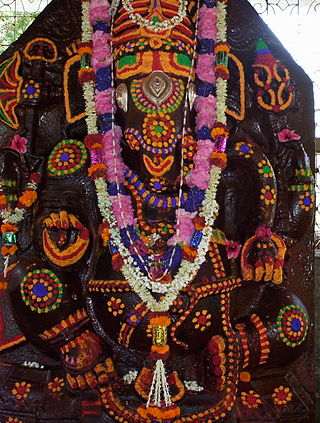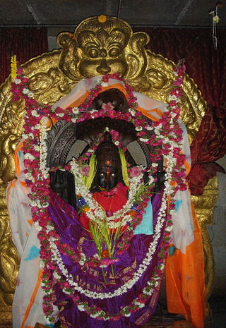
Holalkere is a town and taluk headquarters located near Chitradurga in the Indian state of Karnataka.

Tumakuru District is an administrative district in the state of Karnataka in India. It is the third largest district in Karnataka by land area with an area of 10,598 km2, and fourth largest by Population. It is a one-and-a-half-hour drive from Bengaluru, the state capital. The district is known for the production of coconuts and is also called as 'Kalpataru Nadu'. It is the only discontiguous district in Karnataka.
Chikkanayakanahalli is a town in Tiptur sub-division of Tumakuru district, in the state of Karnataka, India. It is 30 km away from Tiptur and 132 km from Bangalore.
Pavagada or Pavgada is a taluk in the Tumkur district in Karnataka, India. Historically it was part of the Mysore kingdom. Though it is geographically connected to Chitradurga district inside state of Karnataka, it comes under Tumkur district. It is 157.8 km from state capital of Bangalore. Uttara Pinakini river flows into this Taluk. Pavagada Taluk falls on the border of Karnataka, hence majority of the population are bilingual speaks Kannada and Telugu. The town is famous for its fort located on the hill, Kote Anjaneya temple at the foothills and also the temple of Sri Shani Mahatma.

Tiptur is a city in the southern part of the state of Karnataka, India. It is the second largest and the fastest growing city in Tumkur district. It is a sub-divisional headquarters of Tumkur district in Karnataka. Capital city Bengaluru is 140 km from Tiptur. Tiptur city is known for its coconut plantations.

Hosadurga is a town and a taluk in Chitradurga district in the Indian state of Karnataka.
Kanathur is a village in Turvekere taluk of Tumkur district, in the Indian state of Karnataka.
Javagal is a village in the southern state of Karnataka, India. It is located in the Arsikere taluk of Hassan district in Karnataka. The Lakshminarasimha temple, built in 1250 A.D., is an important Hoysala architectural show piece in this town.
Bukkapattana is a village in the southern state of Karnataka, India. It is located in the Sira taluk of Tumkur district in Karnataka.
Byadanur is a village in the southern state of Karnataka, India. It is located in the Pavagada taluk of Tumkur district in Karnataka.

Hebbur is a village in the southern state of Karnataka, India. It is located in the Tumkur taluk of Tumkur district in Karnataka.
Holavanahalli is a village located in the southern state of Karnataka, India. It is located in the Koratagere taluk of Tumkur district in Karnataka.

Huliyurdurga is a village in the southern state of Karnataka, India. It is located in the Kunigal taluk of Tumkur district in Karnataka.
Kenkere is a small town in the southern state of Karnataka, India. It is located in the Chiknayakanhalli taluk of Tumkur district in Karnataka. It is the headquarters of the Village Panchayat.
Madalur is a village in the southern state of Karnataka, India. It is located in the Sira taluk of Tumkur district in Karnataka.

Yallappa Nayakana Hosakote, often written as Y. N. Hosakote is a small town in the southern state of Karnataka, India. It is located in the Pavagada taluk of Tumkur district in Karnataka. In 1556 a local king named Yallappa Nayaka founded the fort on the hill Siddarabetta beside Kundurpi, named Yallappanayakana hosakote.
Adinayakanahalli is a village in the southern state of Karnataka, India. It is located in the Tiptur taluk of Tumkur district in Karnataka.
Agarahara is a village in the southern state of Karnataka, India. It is located in the Tiptur taluk of Tumkur district in Karnataka.

Agrahara, Sira is a village in the southern state of Karnataka, India. It is located in the Sira taluk of Tumkur district in Karnataka.

Bajagur is a village in Tiptur Taluk in Tumkur district of Karnataka, India. It is situated on the southern side of the state of Karnataka.


