Woree is a suburb of Cairns in the Cairns Region, Queensland, Australia. In the 2021 census, Woree had a population of 5,127 people.

Bayview Heights is a southern suburb of Cairns in the Cairns Region, Queensland, Australia. In the 2021 census, Bayview Heights had a population of 4,175 people.
Yorkeys Knob is a coastal suburb of Cairns in the Cairns Region, Queensland, Australia. In the 2021 census, Yorkeys Knob had a population of 2,794 people.
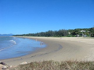
Holloways Beach is a northern coastal suburb of Cairns, Queensland, Australia. It is located about 10 kilometres north of the city of Cairns between the suburbs of Machans Beach and Yorkeys Knob. In the 2021 census, Holloways Beach had a population of 2,398 people.

Aeroglen is a coastal suburb of Cairns in the Cairns Region, Queensland, Australia. It is approximately 5 kilometers north of the Cairns City centre. In the 2021 census, Aeroglen had a population of 405 people.

Trinity Beach is a coastal suburb of Cairns in the Cairns Region, Queensland, Australia. In the 2021 census, Trinity Beach had a population of 6,594 people.

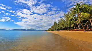
Kewarra Beach is a coastal suburb of Cairns in the Cairns Region, Queensland, Australia. In the 2021 census, Kewarra Beach had a population of 6,133 people.

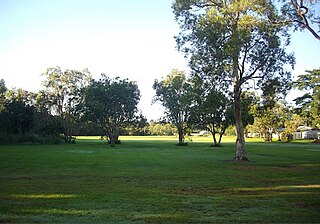
Bungalow is an inner suburb of Cairns in the Cairns Region, Queensland, Australia. In the 2021 census, Bungalow had a population of 2,358 people.
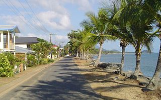
Machans Beach is a beach and coastal suburb of Cairns in the Cairns Region, Queensland, Australia. In the 2021 census, Machans Beach had a population of 943 people.

Manoora is a suburb of Cairns in the Cairns Region, Queensland, Australia. In the 2021 census, Manoora had a population of 6,175 people.

Kanimbla is a suburb of Cairns in the Cairns Region, Queensland, Australia. In the 2021 census, Kanimbla had a population of 2,827 people.

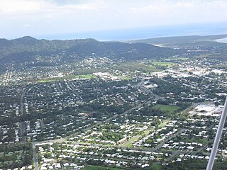
Edge Hill is an inner suburb of the city of Cairns in Far North Queensland, Australia located approximately four kilometres north west of the city centre. In the 2021 census, Edge Hill had a population of 4,088 people.

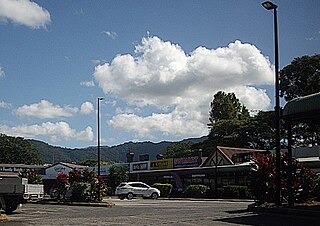
Redlynch is a semi-rural town and suburb of Cairns in the Cairns Region, Queensland, Australia. In the 2021 census, the suburb of Redlynch had a population of 10,571 people.
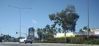
Earlville is a suburb of Cairns in the Cairns Region, Queensland, Australia. In the 2021 census, Earlville had a population of 4,200 people.
White Rock is a suburb of Cairns in the Cairns Region, Queensland, Australia. In the 2021 census, White Rock had a population of 4,918 people.

Mount Sheridan is a suburb of Cairns in the Cairns Region, Queensland, Australia. In the 2021 census, Mount Sheridan had a population of 8,678 people.
Manunda is a suburb of Cairns in the Cairns Region, Queensland, Australia. In the 2021 census, Manunda had a population of 5,191 people.

Portsmith is a suburb of Cairns in the Cairns Region, Queensland, Australia. In the 2021 census, Portsmith had a population of 314 people.
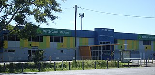
Westcourt is a suburb of Cairns in the Cairns Region, Queensland, Australia. In the 2021 census, Westcourt had a population of 3,841 people.

Macalister Range is a coastal locality in the Cairns Region, Queensland, Australia. In the 2021 census, Macalister Range had "no people or a very low population".


