Looking along Harvey Creek towards the North Coast railway bridge at the Harvey Creek Scenic Reserve, 2014
The locality is bounded to the east by the Russell River and to the south by Frenchmans Creek (which becomes a tributary of the Russell River in the south-east of the locality). The locaity is bounded to the west by the eastern extent of the Wooroonooran National Park.[4] The Bellenden Ker Range runs through the national park where the three peaks of Mount Bellenden Ker are located (i.e. west of this locality which shares its name).[4][2][3]
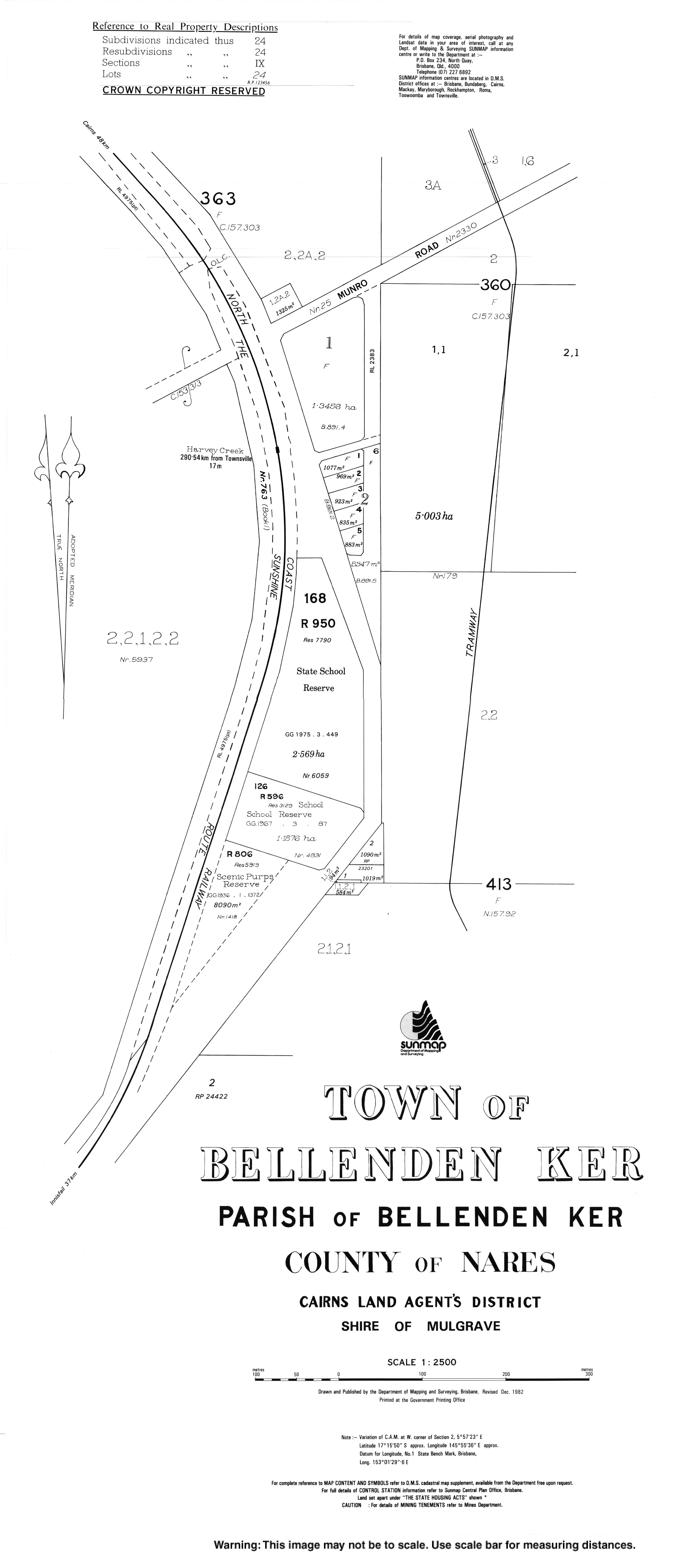
The Bruce Highway enters the locality from the south (Babinda) and exits to the north (Deeral). The North Coast railway also enters the locality from the south (Babinda) immediately east of the highway and also exits to the north (Deeral).[5]
Bellenden Ker State School opened on 14 August 1922.[6][7]
Sugar cane farming, Bellenden Ker, 2018
Bellenden Ker Post Office opened on 1 July 1936 and closed on 23 November 1974.[8]
Bellenden Ker Memorial Hall opened on Saturday 5 December 1936 in the presence of over 300 people. The community had raised funds over a number of years to build the hall.[9][10]
Demographics
In the 2011 census, the locality of Bellenden Ker had a population of 475 people.[11]
In the 2016 census, the locality of Bellenden Ker had a population of 252 people.[12]
In the 2021 census, the locality of Bellenden Ker had a population of 229 people.[1]
There are no secondary schools in Bellenden Ker. The nearest government secondary school is Babina State School in neighbouring Babinda to the south.[16]
↑ "History". Bellenden Ker State School. 6 June 2019. Archived from the original on 1 March 2022. Retrieved 12 June 2022.
↑ "Bellenden Ker". Post Office Reference. Phoenix Auctions. Archived from the original on 12 June 2022. Retrieved 20 March 2021.
↑ "Dance at Bellenden Ker". The Cairns Post. No.10, 864. Queensland, Australia. 4 December 1936. p.3. Archived from the original on 22 September 2024. Retrieved 22 September 2024– via National Library of Australia.
↑ "BABINDA NOTES". The Cairns Post. No.10, 870. Queensland, Australia. 11 December 1936. p.15. Archived from the original on 22 September 2024. Retrieved 22 September 2024– via National Library of Australia.
This page is based on this Wikipedia article Text is available under the CC BY-SA 4.0 license; additional terms may apply. Images, videos and audio are available under their respective licenses.


