
Cairns is a city in the Cairns Region, Queensland, Australia, on the tropical north east coast of Far North Queensland. In the 2021 census, Cairns had a population of 153,181 people.

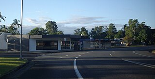
Gordonvale is a rural sugar-growing town and locality situated on the southern side of Cairns in the Cairns Region, Queensland, Australia. In the 2021 census, the locality of Gordonvale had a population of 6,944 people.
Woree is a suburb of Cairns in the Cairns Region, Queensland, Australia. In the 2021 census, Woree had a population of 5,127 people.

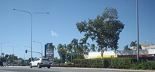
Edmonton is a town and suburb in the Cairns Region, Queensland, Australia. In the 2021 census, the suburb of Edmonton had a population of 11,409 people.
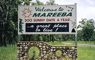
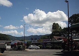
Mareeba is a rural town and locality in the Shire of Mareeba in Far North Queensland, Australia. Between 2008 and 2013, it was within the Tablelands Region. The town's name is derived from an Aboriginal word meaning meeting of the waters. In the 2021 census, the locality of Mareeba had a population of 11,825 people.
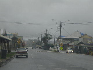
Babinda is a rural town and locality in the Cairns Region, Queensland, Australia. Babinda and Tully annually compete for the Golden Gumboot, an award for Australia's wettest town. Babinda is usually the winner, recording an annual average rainfall of over 4,279.4 millimetres (168.48 in) each year. In the 2021 census, the locality of Babinda had a population of 1,287 people.

Freshwater is a suburb of Cairns, Queensland, Australia. In the 2021 census, Freshwater had a population of 2,142 people.

Aeroglen is a coastal suburb of Cairns in the Cairns Region, Queensland, Australia. It is approximately 5 kilometers north of the Cairns City centre. In the 2021 census, Aeroglen had a population of 405 people.
Caravonica is a suburb of Cairns in the Cairns Region, Queensland, Australia. In the 2021 census, Caravonica had a population of 2,183 people.

Trinity Beach is a coastal suburb of Cairns in the Cairns Region, Queensland, Australia. In the 2021 census, Trinity Beach had a population of 6,594 people.
Mooroobool is a suburb of Cairns in the Cairns Region, Queensland, Australia. In the 2021 census, Mooroobool had a population of 7,136 people.

Cairns City is a coastal suburb at the centre of Cairns in the Cairns Region, Queensland, Australia. It is also known as the Cairns Central Business District (CBD). In the 2021 census, Cairns City had a population of 3,616 people.

Manoora is a suburb of Cairns in the Cairns Region, Queensland, Australia. In the 2021 census, Manoora had a population of 6,175 people.

Cairns North is a coastal suburb of Cairns in the Cairns Region, Queensland, Australia. In the 2021 census, Cairns North had a population of 5,334 people.

Redlynch is a semi-rural town and suburb of Cairns in the Cairns Region, Queensland, Australia. In the 2021 census, the suburb of Redlynch had a population of 10,571 people.
Earlville is a suburb of Cairns in the Cairns Region, Queensland, Australia. In the 2021 census, Earlville had a population of 4,200 people.

Parramatta Park is a suburb of Cairns in the Cairns Region, Queensland, Australia. In the 2021 census, Parramatta Park had a population of 3,621 people.

Barron is a suburb of Cairns in the Cairns Region, Queensland, Australia. In the 2021 census, Barron had a population of 68 people.

Portsmith is a suburb of Cairns in the Cairns Region, Queensland, Australia. In the 2021 census, Portsmith had a population of 314 people.
Westcourt is a suburb of Cairns in the Cairns Region, Queensland, Australia. In the 2021 census, Westcourt had a population of 3,841 people.


