
Cairns is a city in Queensland, Australia, on the tropical north east coast of Far North Queensland. In the 2021 census, Cairns had a population of 153,181 people.

The Captain Cook Highway is a short, regional highway in Queensland which originates in Cairns and terminates in Mossman, where it joins Mossman-Daintree Road, continuing to Daintree. It is a state-controlled regional road.
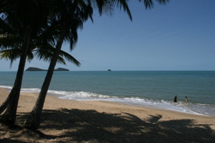
Clifton Beach is a coastal suburb in the Cairns Region, Queensland, Australia. In the 2021 census, Clifton Beach had a population of 3,192 people.
Haycock Island is an island in Far North Queensland northeast of Palm Cove and about 20 kilometres (12 mi) north of Cairns, Queensland in Trinity Bay.

Smithfield is a suburb of Cairns in the Cairns Region, Queensland, Australia. In the 2021 census Smithfield had a population of 6,664 people.
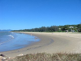
Yorkeys Knob is a coastal suburb of Cairns in the Cairns Region, Queensland, Australia. In the 2016 census, Yorkeys Knob had a population of 2,759 people.

Palm Cove is a suburb of Cairns in the Cairns Region, Queensland, Australia. In the 2016 census, Palm Cove had a population of 2,059 people.
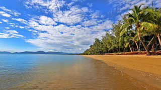
Holloways Beach is a residential coastal suburb of Cairns, Queensland, Australia. In the 2021 census, Holloways Beach had a population of 2,398 people. II is located about 10 kilometres north of the city of Cairns between the suburbs of Machans Beach and Yorkeys Knob.

Freshwater is a suburb of Cairns, Queensland, Australia. In the 2016 census, Freshwater had a population of 2,023 people.

Stratford is a suburb of Cairns in the Cairns Region, Queensland, Australia. In the 2016 census, Stratford had a population of 1,138 people.

Aeroglen is a coastal suburb of Cairns in the Cairns Region, Queensland, Australia. In the 2021 census, Aeroglen had a population of 405 people.

Trinity Beach is a coastal suburb of Cairns in the Cairns Region, Queensland, Australia. In the 2021 census, Trinity Beach had a population of 6,594 people.

Kewarra Beach is a coastal suburb of Cairns in the Cairns Region, Queensland, Australia. In the 2016 census, Kewarra Beach had a population of 5,652 people.
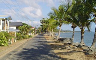
Machans Beach is a beach and coastal suburb of Cairns in the Cairns Region, Queensland, Australia. In the 2021 census, Machans Beach had a population of 943 people.

Cairns North is a coastal suburb of Cairns in the Cairns Region, Queensland, Australia. In the 2021 census, Cairns North had a population of 5,334 people.

Barron is a suburb of Cairns in the Cairns Region, Queensland, Australia. In the 2016 census Barron had a population of 42 people.

Barron Gorge is a rural locality in the Cairns Region, Queensland, Australia. In the 2021 census, Barron Gorge had "no people or a very low population".

Portsmith is a suburb of Cairns in the Cairns Region, Queensland, Australia. In the 2021 census, Portsmith had a population of 314 people.
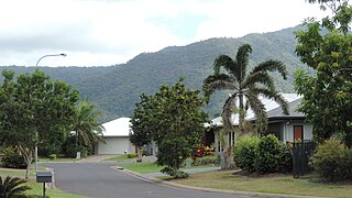
Trinity Park is a coastal suburb of Cairns in the Cairns Region, Queensland, Australia. In the 2021 census, Trinity Park had a population of 3,536 people.

Macalister Range is a coastal locality in the Cairns Region, Queensland, Australia. In the 2021 census, Macalister Range had a population of 0 people.


