
Dimbulah is a rural town and locality in Far North Queensland, Australia, 114 kilometres (71 mi) from Cairns by road, on the Atherton Tableland. It is within the local government area of Shire of Mareeba. In the 2021 census, the locality of Dimbulah had a population of 975 people, a decrease from the 1,050 people in the 2016 census.

Gordonvale is a rural sugar-growing town and locality situated on the southern side of Cairns in the Cairns Region, Queensland, Australia. In the 2021 census, the locality of Gordonvale had a population of 6,944 people.

Edmonton is a town and suburb in the Cairns Region, Queensland, Australia. In the 2021 census, the suburb of Edmonton had a population of 11,409 people.

Kuranda is a rural town and locality on the Atherton Tableland in the Shire of Mareeba, Queensland, Australia. It is 25 kilometres (16 mi) from Cairns, via the Kuranda Range road. It is surrounded by tropical rainforest and adjacent to the Wet Tropics of Queensland World Heritage listed Barron Gorge National Park. In the 2021 census, the locality of Kuranda had a population of 3,273 people.
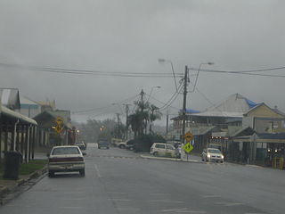
Babinda is a rural town and locality in the Cairns Region, Queensland, Australia. Babinda and Tully annually compete for the Golden Gumboot, an award for Australia's wettest town. Babinda is usually the winner, recording an annual average rainfall of over 4,279.4 millimetres (168.48 in) each year. In the 2021 census, the locality of Babinda had a population of 1,287 people.

Aloomba is a rural town and a locality in the Cairns Region, Queensland, Australia. In the 2021 census, the locality of Aloomba had a population of 576 people.

Malanda is a rural town and locality in the Tablelands Region, Queensland, Australia. In the 2021 census, the locality of Malanda had a population of 2,000 people. The economy is based upon agriculture and tourism.

Mutchilba is a rural town and locality in the Shire of Mareeba, in Far North Queensland, Australia. It is known for its production of mangoes.

South Johnstone is a rural town and locality in the Cassowary Coast Region, Queensland, Australia. In the 2021 census, the locality of South Johnstone had a population of 456 people.

Woopen Creek is a rural locality in the Cairns Region, Queensland, Australia. In the 2021 census, Woopen Creek had a population of 135 people.

Cairns City is a coastal suburb at the centre of Cairns in the Cairns Region, Queensland, Australia. It is also known as the Cairns Central Business District (CBD). In the 2021 census, Cairns City had a population of 3,616 people.

Kennedy is a coastal locality in the Cassowary Coast Region, Queensland, Australia. In the 2021 census, Kennedy had a population of 136 people.

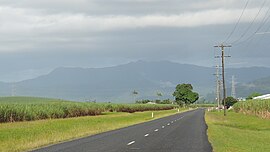
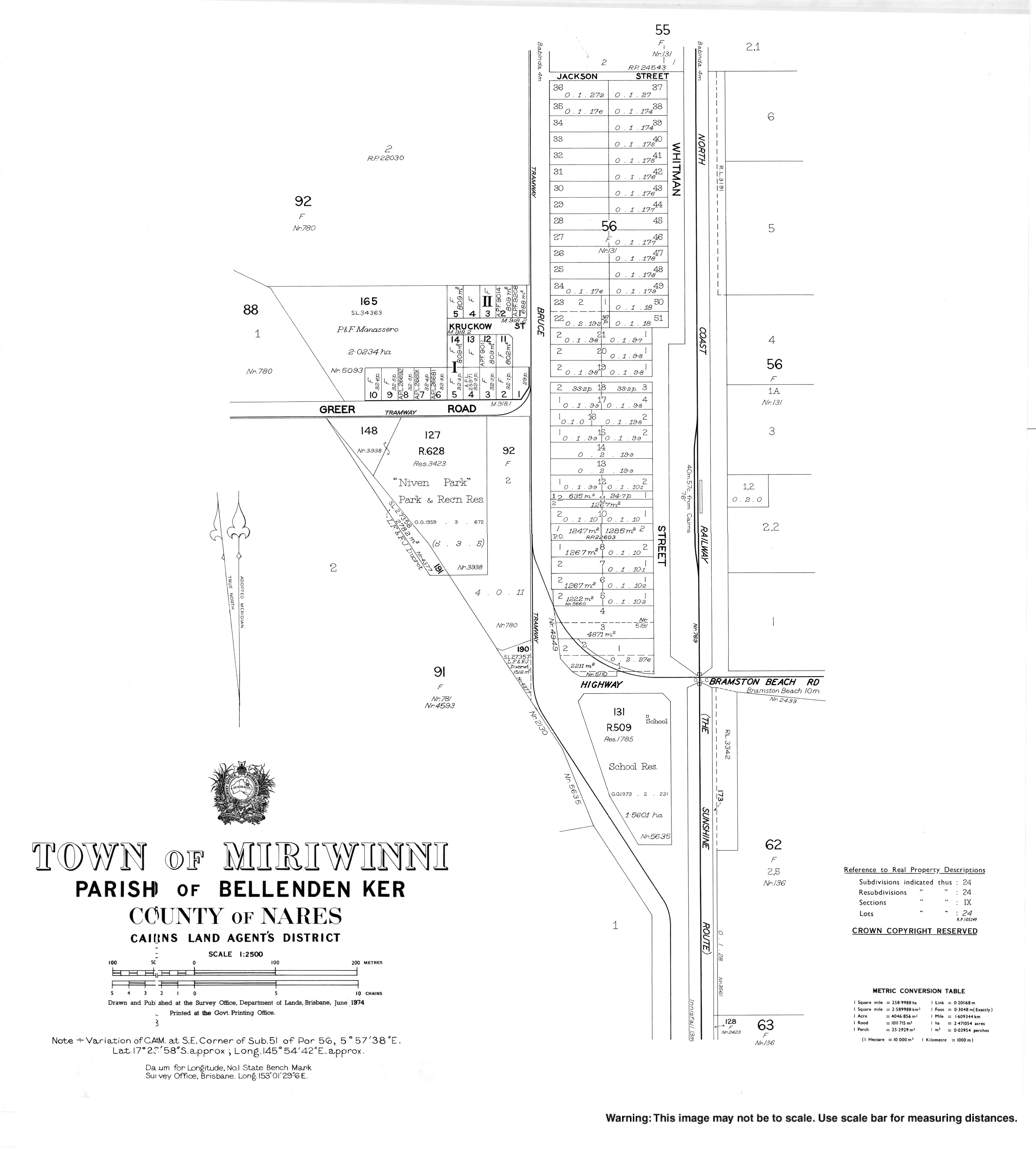
Bellenden Ker is a rural town and locality in the Cairns Region, Queensland, Australia. In the 2021 census, the locality of Bellenden Ker had a population of 229 people.

Fishery Falls is a locality in the Cairns Region, Queensland, Australia. In the 2021 census, Fishery Falls had a population of 205 people.
Biboohra is a rural town and locality in the Shire of Mareeba, Queensland, Australia. In the 2021 census, the locality of Biboohra had a population of 561 people.

Eubenangee is a coastal locality split between the Cairns Region and the Cassowary Coast Region, Queensland, Australia. In the 2021 census, Eubenangee had a population of 247 people.

Euramo is a rural locality in the Cassowary Coast Region, Queensland, Australia. In the 2021 census, Euramo had a population of 114 people.

Peeramon is a rural town and locality in the Tablelands Region, Queensland, Australia. In the 2021 census, the locality of Peeramon had a population of 778 people.

Wooroonooran is an undeveloped locality split among the Cairns Region, the Cassowary Coast Region and the Tablelands Region in Queensland, Australia. In the 2021 census, Wooroonooran had "no people or a very low population".

Waugh Pocket is a locality in the Cairns Region, Queensland, Australia. In the 2021 census, Waugh Pocket had a population of 46 people.


