Bramston Beach, Queensland

Last updated

Bramston Beach
Queensland
BramstonBeach.JPG
Bramston Beach
Australia Queensland location map.svg
Red pog.svg
Bramston Beach
Coordinates 17°21′14″S146°01′29″E / 17.3538°S 146.0247°E / -17.3538; 146.0247 (Bramston Beach (town centre))
Population173 (2021 census) [1]
 • Density3.112/km2 (8.059/sq mi)
Postcode(s) 4871
Area55.6 km2 (21.5 sq mi)
Time zone AEST (UTC+10:00)
Location
LGA(s) Cairns Region
State electorate(s) Hill
Federal division(s) Kennedy
Localities around Bramston Beach:
East Russell East Russell Coral Sea
East Russell Bramston Beach Coral Sea
Eubenangee Eubenangee Eubenangee

Bramston Beach is a coastal town and rural locality in Cairns Region, Queensland, Australia. [2] [3] In the 2021 census, the locality of Bramston Beach had a population of 173 people. [1]

Contents

Geography

Looking west across fields from Bramston Beach Road, 2018 Looking west across fields from Bramston Beach Road, Bramston Beach, 2018.jpg
Looking west across fields from Bramston Beach Road, 2018

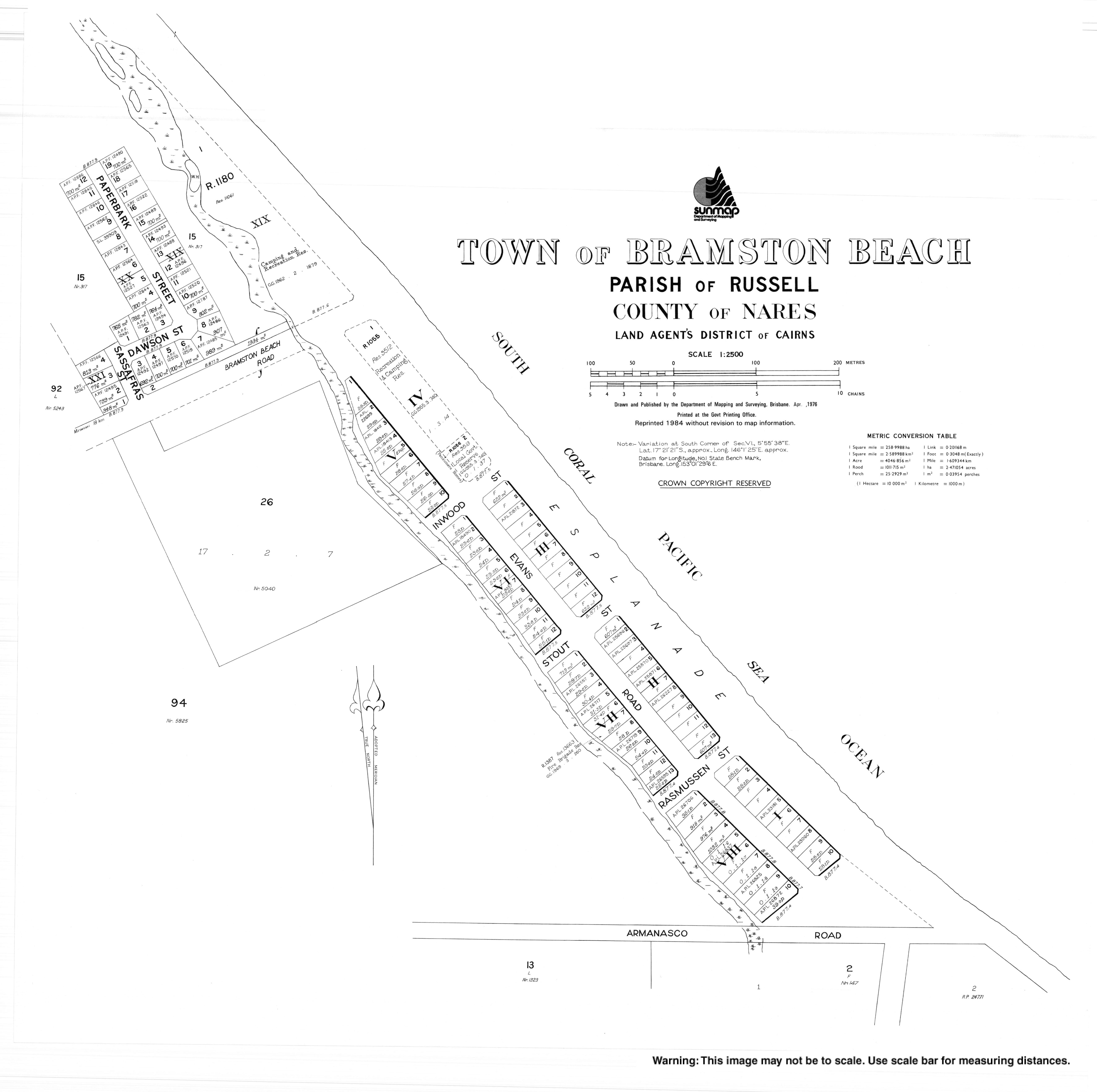
Bramston Beach is located 60 kilometres (37 mi) south of the regional centre of Cairns. It is located 17 kilometres (11 mi) east of the Bruce Highway and is accessed from the highway via Bramston Beach Road. [4]

Looking south over fields from Bramston Beach Road, 2018 Looking south over fields from Bramston Beach Road, Bramston Beach, 2018.jpg
Looking south over fields from Bramston Beach Road, 2018

The Bramston Beach locality comprises two coastal plain areas each surrounded by small mountain ranges. The locality is bounded along the north-east by the Coral Sea and by the small mountain ranges. [4]

The northern coastal plain is partly within the Russell River National Park with the remainder used for agriculture, principally grazing. Bramston Beach Road passes through the southern part of the northern coastal plain through to the sandy beach there. The small residential and camping area is located at the end of the road by the beach. [4]

The southern coastal plain area also features a sandy beach but there are no formed roads through the area, only tracks. It is entirely freehold land used for agriculture, again principally grazing. [4]

Turtle Nesting Area advisory sign, 2018 Turtle Nesting Area advisory sign, Bramston Beach, 2018.jpg
Turtle Nesting Area advisory sign, 2018

The beach at Bramston Beach is a turtle nesting area but is suffering from natural and manmade threats to the nesting area. [5] There are also crocodiles in the area. [6]

Crocodile warning sign, 2018 Crocodile warning sign, Bramston Beach, 2018.jpg
Crocodile warning sign, 2018

It is a popular spot with caravaners and is a good fishing location and has a slightly older than average population.[ citation needed ]

History

Houses, Evans Road, 2018 Looking south down Evans Road, Bramston Beach, 2018.jpg
Houses, Evans Road, 2018

The town is named after Sir John Bramston, an early politician in Queensland. [2]

In March 1872, after the wreck of The Maria on Bramble reef, one of the groups of survivors landed their raft just to the south of Cooper Point. The Djiru people in the area were exceedingly hospitable in feeding and sheltering this group until Captain John Moresby arrived in the Basilisk to return them to the British settlements further south. This group of survivors spent much of their time at a Djiru village that was located at modern day Bramston Beach. Some Djiru villages in the area consisted of quite large huts with multiple entrances. W.T. Forster, a member of this group of castaways recorded his experiences with the Djiru in a pamphlet published later on in 1872. Forster and some officials returned later to thank the Djiru and give gifts of blankets, but the village was devoid of people due to the Native Police having visited the locality the previous day. [7]

The 1996 film, The Island of Dr. Moreau (1996_film), was filmed here.[ citation needed ]

The 1998 film, The Thin Red Line, was partially filmed on Bramston Beach.[ citation needed ]

Demographics

In the 2006 census, the town of Bramston Beach had a population of 196 people. [8]

In the 2011 census, the locality of Bramston Beach had a population of 154 people. [9]

In the 2016 census, the locality of Bramston Beach had a population of 174 people. [10]

In the 2021 census, the locality of Bramston Beach had a population of 173 people. [1]

Education

There are no schools in Bramston Beach. The nearest government primary school is Mirriwinni State School in Mirriwinni to the south-west. The nearest government secondary school is Babinda State School (to Year 12) in Babinda to the west. [11]

Related Research Articles

<span class="mw-page-title-main">Tully, Queensland</span> Town in Queensland, Australia

Tully is a town and locality in the Cassowary Coast Region, Queensland, Australia. It is adjacent to the Bruce Highway, approximately 140 kilometres (87 mi) south of Cairns by road and 210 kilometres (130 mi) north of Townsville. Tully is perhaps best known for being one of the wettest towns in Australia, and home to the 7.9 m tall Golden Gumboot.

<span class="mw-page-title-main">Mission Beach, Queensland</span> Town in Queensland, Australia

Mission Beach is a coastal town and locality in the Cassowary Coast Region, Queensland, Australia. In the 2021 census, the locality of Mission Beach had a population of 1,014 people.

<span class="mw-page-title-main">Bayview Heights, Queensland</span> Suburb of Cairns Region, Queensland, Australia

Bayview Heights is a southern suburb of Cairns in the Cairns Region, Queensland, Australia. In the 2021 census, Bayview Heights had a population of 4,175 people.

<span class="mw-page-title-main">Babinda</span> Town in Queensland, Australia

Babinda is a rural town and locality in the Cairns Region, Queensland, Australia. Babinda and Tully annually compete for the Golden Gumboot, an award for Australia's wettest town. Babinda is usually the winner, recording an annual average rainfall of over 4,279.4 millimetres (168.48 in) each year. In the 2021 census, the locality of Babinda had a population of 1,287 people.

<span class="mw-page-title-main">Aloomba, Queensland</span> Town in Queensland, Australia

Aloomba is a rural town and a locality in the Cairns Region, Queensland, Australia. In the 2021 census, the locality of Aloomba had a population of 576 people.

<span class="mw-page-title-main">Moore Park Beach, Queensland</span> Town in Queensland, Australia

Moore Park Beach is a coastal rural locality in the Bundaberg Region, Queensland, Australia. The coastal town of Moore Park is within the locality.

Turkey Beach is a coastal town and locality in the Gladstone Region, Queensland, Australia. In the 2021 census, the locality of Turkey Beach had a population of 148 people.

<span class="mw-page-title-main">East Russell, Queensland</span> Suburb of Cairns, Queensland, Australia

East Russell is a coastal locality in the Cairns Region, Queensland, Australia. In the 2021 census, East Russell had a population of 83 people.

<span class="mw-page-title-main">Mirriwinni, Queensland</span> Town in Queensland, Australia

Mirriwinni is a rural town and locality in the Cairns Region, Queensland, Australia. The spelling Miriwinni has also been used historically, but Mirriwinni is the official spelling from 8 October 2010. In the 2021 census, the locality of Mirriwinni had a population of 492 people.

<span class="mw-page-title-main">Woopen Creek, Queensland</span> Suburb of Cairns Region, Queensland, Australia

Woopen Creek is a rural locality in the Cairns Region, Queensland, Australia. In the 2021 census, Woopen Creek had a population of 135 people.

Taylors Beach is a coastal town and locality in the Shire of Hinchinbrook, Queensland, Australia. It takes its name from its beach. In the 2021 census, the locality of Taylors Beach had a population of 297 people.

<span class="mw-page-title-main">Mourilyan Harbour</span> Suburb of Cassowary Coast Region, Queensland, Australia

Mourilyan Harbour is a coastal locality and harbour within the Cassowary Coast Region, Queensland, Australia. In the 2021 census, Mourilyan Harbour had a population of 142 people.

<span class="mw-page-title-main">Deeral, Queensland</span> Town in Queensland, Australia

Deeral is a town and coastal locality in the Cairns Region, Queensland, Australia. In the 2021 census, the locality of Deeral had a population of 151 people.

<span class="mw-page-title-main">Eubenangee, Queensland</span> Suburb of Cairns Region, Queensland, Australia

Eubenangee is a coastal locality split between the Cairns Region and the Cassowary Coast Region, Queensland, Australia. In the 2021 census, Eubenangee had a population of 247 people.

<span class="mw-page-title-main">Waugh Pocket</span> Suburb of Cairns Region, Queensland, Australia

Waugh Pocket is a locality in the Cairns Region, Queensland, Australia. In the 2021 census, Waugh Pocket had a population of 46 people.

Tinnanbar is a coastal town and a locality in the Fraser Coast Region, Queensland, Australia. In the 2021 census, the locality of Tinnanbar had a population of 64 people.

Armstrong Beach is a coastal town and a locality in the Mackay Region, Queensland, Australia. In the 2021 census, the locality of Armstrong Beach had a population of 903 people.

Rules Beach is a coastal town and a locality in the Gladstone Region, Queensland, Australia. In the 2021 census, the locality of Rules Beach had a population of 56 people.

Hull Heads is a coastal town and locality in the Cassowary Coast Region, Queensland, Australia. In the 2021 census, the locality of Hull Heads had a population of 127 people.

Tam O'Shanter is a rural locality in the Cassowary Coast Region, Queensland, Australia. In the 2021 census, Tam O'Shanter had "no people or a very low population".

References

  1. 1 2 3 Australian Bureau of Statistics (28 June 2022). "Bramston Beach (SAL)". 2021 Census QuickStats. Retrieved 28 February 2023. OOjs UI icon edit-ltr-progressive.svg
  2. 1 2 "Bramston Beach – town (entry 4294)". Queensland Place Names. Queensland Government . Retrieved 25 June 2017.
  3. "Bramston Beach – locality (entry 48541)". Queensland Place Names. Queensland Government . Retrieved 25 June 2017.
  4. 1 2 3 4 "Queensland Globe". State of Queensland . Retrieved 7 May 2018.
  5. Constable, Russell (6 February 2009). "Threats to Marine Turtle Nests at Bramston Beach and Ella Bay" (PDF). Department of Environment and Energy. Australian Government . Retrieved 7 May 2018.
  6. "Crocodile caught near north Queensland playground". Brisbane Times . 11 January 2017. Archived from the original on 7 May 2018. Retrieved 7 May 2018.
  7. Forster, W. T. (1872), The wreck of the "Maria", or, Adventures of the New Guinea Prospecting Association, Printed and published by J. Reading and Co, retrieved 20 August 2017
  8. Australian Bureau of Statistics (25 October 2007). "Bramston Beach (L) (Urban Centre/Locality)". 2006 Census QuickStats. Retrieved 27 January 2008.
  9. Australian Bureau of Statistics (31 October 2012). "Bramston Beach (SSC)". 2011 Census QuickStats. Retrieved 7 May 2018. OOjs UI icon edit-ltr-progressive.svg
  10. Australian Bureau of Statistics (27 June 2017). "Bramston Beach (SSC)". 2016 Census QuickStats. Retrieved 20 October 2018. OOjs UI icon edit-ltr-progressive.svg
  11. "Layers: Locality; Schools and school catchments". Queensland Globe. Queensland Government . Retrieved 5 March 2024.