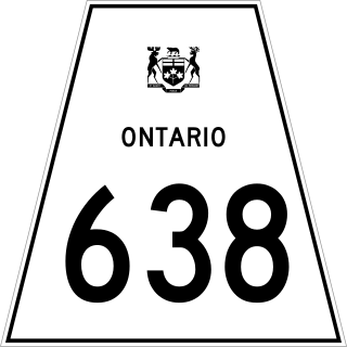
Secondary Highway 638, commonly referred to as Highway 638, is a provincially maintained secondary highway located in the District of Algoma in the Canadian province of Ontario. The route begins at Highway 17B in Echo Bay and travels eastward to Ophir, where it turns south to Bruce Mines, ending 1.1 km (0.7 mi) north of Highway 17. The north–south portion of the route was designated in 1956 as Highway 561. In 1962, Highway 638 was designated from Echo Bay to Highway 561, as well as a segment of the latter route from Ophir to Dunns Valley. The highway took on its current routing in 1989, assuming the route of Highway 561 south from Ophir to Bruce Mines; the section of Highway 638 from Ophir to Dunns Valley was renumbered as Highway 670.
King's Highway 69, commonly referred to as Highway 69, is a provincially maintained north–south highway in the central portion of the Canadian province of Ontario. In conjunction with Highway 400, it links Toronto with the city of Greater Sudbury at Highway 17, via Parry Sound. It is part of the Trans-Canada Highway and the National Highway System. From its southern terminus of Highway 559 at Carling, Highway 69 begins as Highway 400 narrows from a four-laned freeway to a two lane highway. It travels northerly for approximately 68 kilometres (42 mi) to south of the French River before widening back to a divided four lane freeway for approximately 64 kilometres (40 mi) into Sudbury. The final 6 kilometres (3.7 mi) of the route, connecting to Highway 17, is a five lane arterial road that will be converted to freeway as the final phase of the four-laning.
King's Highway 144, commonly referred to as Highway 144, is a provincially maintained highway in the northern portion of the Canadian province of Ontario, linking the cities of Greater Sudbury and Timmins. The highway is one of the most isolated in Ontario, passing through forest for the majority of its 271 km (168 mi) length. It is patrolled by the Ontario Provincial Police and features an 80 km/h (50 mph) speed limit.
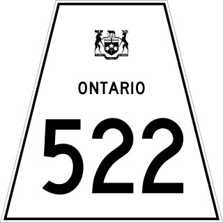
Secondary Highway 522, commonly referred to as Highway 522, is a provincially maintained highway in the Canadian province of Ontario. The highway is 109.6 kilometres (68.1 mi) in length, connecting Highway 69 near Cranberry with Highway 11 at the community of Trout Creek. Highway 522 serves as the only link between these two routes south of Highway 17 and north of Highway 124. It is often used to access Grundy Lake Provincial Park, a popular camping area for northbound travellers.
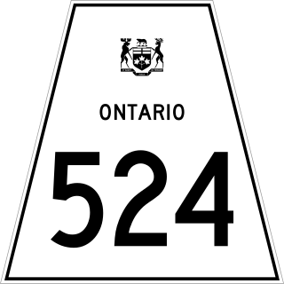
Secondary Highway 524, commonly referred to as Highway 524, is a provincially maintained highway in the Canadian province of Ontario. The highway is 4.6 kilometres (2.9 mi) in length, connecting Highway 522 at Farley's Corners with Highway 534, which leads to Restoule. It was established in 1956, along with most of the secondary highway system in the province, and has remained unchanged since then.

Secondary Highway 525, commonly referred to as Highway 525, is a provincially maintained secondary highway in the Canadian province of Ontario. It is a short, remote secondary highway that links Highway 596 to the Wabaseemoong First Nations reserve. It is the second-westernmost secondary highway in the province, Highway 673 being the first. The route was commissioned by 1982 along what was formerly Highway 596; a former use of the route number existed between 1956 and 1973 in Gravenhurst.
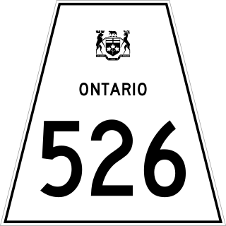
Secondary Highway 526, commonly referred to as Highway 526, is a provincially maintained secondary highway in the Canadian province of Ontario. It is a short and lightly travelled route that connects Highway 69 with the community of Britt.

Secondary Highway 537, commonly referred to as Highway 537, is a provincially maintained secondary highway in the Canadian province of Ontario. The highway is 16.1 kilometres (10.0 mi) in length, connecting Highway 69 near Wanup with Finni Road. It once continued 3.6 km (2.2 mi) further to intersect Highway 17 in Wahnapitae, but was truncated in 1998; this portion of the route is now designated as Greater Sudbury Municipal Road 537. Highway 537 is now the only secondary highway in the province located within a jurisdiction that also maintains its own county/regional road network.

Secondary Highway 532, commonly referred to as Highway 532, is a provincially maintained secondary highway in the Canadian province of Ontario. The route connects several mining and milling towns in Unorganized Algoma District, notably Searchmont. The route is remote, ending at a mine access road 14.2 kilometres (8.8 mi) north of Highway 556, its southern terminus.
The Southwest Bypass and Southeast Bypass are two separately-constructed contiguous roads in the city of Greater Sudbury, in the Canadian province of Ontario, which form a bypass around the southern end of the city's urban core for traffic travelling on Highway 17, a portion of the Trans-Canada Highway. Most of the route is a Super two road with at-grade intersections, with the exception of short section of divided freeway at an interchange with Highway 69. Along with the Northwest Bypass from Lively to Chelmsford, the roads form a partial ring road around the city's urban core.
King's Highway 141, commonly referred to as Highway 141, is a provincially maintained highway in the Canadian province of Ontario. Its western terminus is at Highway 400 south of Horseshoe Lake in Seguin Township while its eastern terminus is at Highway 11 near Port Sydney. The route was designated in 1974 when Highway 532 was renumbered and upgraded from a secondary highway to a King's Highway. The route has remained generally unchanged since, though it was extended by several kilometres on October 7, 2003 when Highway 400 was extended north of Mactier.

Secondary Highway 529, commonly referred to as Highway 529, is a provincially maintained secondary highway in the Canadian province of Ontario. Located within Parry Sound District, the highway follows a 25.7-kilometre (16.0 mi) route, from its southern terminus at Highway 69 near Pointe au Baril to its northern terminus at the Highway 69 crossing of the Magnetawan River near Byng Inlet. Two spur routes, Highway 529A and Highway 645, branch off the highway to serve the communities of Bayfield Inlet and Byng Inlet, respectively. The route was established along the present alignment of Highway 529A in 1956. It was relocated in 1961 along the former routing of Highway 69 when a bypass opened through the area, with the former alignment being renumbered as Highway 529A.

Tertiary Highway 810, commonly referred to as Highway 810, is a provincially maintained access road, extending from Bull Lake to Richie Falls alongside the River aux Sables north of Massey. A northerly extension of Highway 553, the road was established in 1974 and has remained unchanged since then.
Secondary Highway 539A, commonly referred to as Highway 539A, is a provincially maintained secondary highway in the Canadian province of Ontario, located within Nipissing District. Commencing at a junction with Highway 539 in the community of River Valley, the highway formerly extended northwesterly for 13.1 kilometres (8.1 mi) to a point near where the Sturgeon River crosses the boundary between Nipissing and Sudbury District at Glen Afton; at this point, the roadway turned northward and continues as Highway 805. The route was later truncated, and now extends for only 5.8 kilometres, with the remainder of the former route having been renumbered as an extension of Highway 805.

Secondary Highway 501, commonly referred to as Highway 501, was a provincially maintained secondary highway in the Canadian province of Ontario. The highway was 13.1 kilometres (8.1 mi) long, connecting Highway 103 north of Port Severn with Honey Harbour.

Secondary Highway 606, commonly referred to as Highway 606, was a provincially maintained secondary highway in the Canadian province of Ontario. This short spur connected Highway 17 with the community of Markstay and was only 1.5 kilometres (0.93 mi) long. Highway 606 was located entirely within what is now the Municipality of Markstay-Warren in Sudbury District.
Secondary Highway 541, commonly referred to as Highway 541, was a provincially maintained secondary highway in the Canadian province of Ontario. The highway connected Highway 17 in Sudbury with the community of Skead on the southern shores of Lake Wanapitei, passing through the community of Garson en route. Within the urban region of Sudbury, the highway served to access Sudbury Airport. The designation was applied in 1956, along with many of the secondary highways in Ontario. The province transferred responsibility for the route shortly after the creation of the Regional Municipality of Sudbury in 1973. Highway 541 is now known as Sudbury Municipal Road 86, following Falconbridge Highway and Skead Road.

Secondary Highway 541A, commonly referred to as Highway 541A, was a provincially maintained secondary highway in the Canadian province of Ontario. This short 3.2-kilometre (2.0 mi) spur connected Highway 541 north of Garson with the community of Falconbridge.

Secondary Highway 545, commonly referred to as Highway 545, was a provincially maintained secondary highway in the Canadian province of Ontario. This 33.9-kilometre (21.1 mi) highway connected Highway 541 at Bailey Corners near Garson with the now-abandoned community of Milnet, passing through Hanmer and Capreol. It followed what is now Municipal Road 85, Municipal Road 84, and Milnet Road. The route featured a concurrency with Highway 69 between Hanmer and Capreol.
Ontario Highway 549, commonly referred to as Highway 549, was a provincially maintained secondary highway in the Canadian province of Ontario. This highway connected former Highway 17 in Whitefish to Lake Panache. The route was assumed along with many other secondary highways in 1956 and remained unchanged until the early 1980s, when it was decommissioned as a provincial highway and transferred to the newly formed Regional Municipality of Sudbury. Today it is known as Greater Sudbury Road 10.


