Princeville Township, Peoria County, Illinois

Last updated

Princeville Township
Township
Map highlighting Princeville Township, Peoria County, Illinois.svg
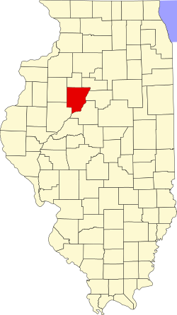
Location in Peoria County
Map of Illinois highlighting Peoria County.svg
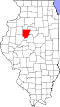
Peoria County's location in Illinois
Country United States
State Illinois
County Peoria
EstablishedNovember 6, 1849
Area
  Total
36.35 sq mi (94.1 km2)
  Land36.33 sq mi (94.1 km2)
  Water0.01 sq mi (0.026 km2)  0.03%
Population
 (2010)
  Estimate 
(2016) [1]
1,601
  Density44.8/sq mi (17.3/km2)
Time zone UTC-6 (CST)
  Summer (DST) UTC-5 (CDT)
FIPS code 17-143-61938

Princeville Township is located in Peoria County, Illinois. As of the 2010 census, its population was 1,628 and it contained 674 housing units. [2]

Contents

The township shares a border with Stark County to the north. It also borders Millbrook Township to the west, Akron Township to the east, and the Jubilee Township to the south.

Geography

According to the 2010 census, the township has a total area of 36.35 square miles (94.1 km2), of which 36.33 square miles (94.1 km2) (or 99.94%) is land and 0.01 square miles (0.026 km2) (or 0.03%) is water. [2]

Demographics

Historical population
CensusPop.Note
2016 (est.)1,601 [1]
U.S. Decennial Census [3]

References

  1. 1 2 "Population and Housing Unit Estimates" . Retrieved June 9, 2017.
  2. 1 2 "Population, Housing Units, Area, and Density: 2010 - County -- County Subdivision and Place -- 2010 Census Summary File 1". United States Census. Archived from the original on February 12, 2020. Retrieved May 28, 2013.
  3. "Census of Population and Housing". Census.gov. Retrieved June 4, 2016.

40°55′48″N89°48′44″W / 40.93000°N 89.81222°W / 40.93000; -89.81222