
Munfordville is a home rule-class city in, and the county seat of, Hart County, Kentucky, United States. The population was 1,615 at the 2010 U.S. census.
Cherrywood Village is a neighborhood and former city in Jefferson County, Kentucky, United States. Cherrywood Village was annexed by the City of St. Matthews in 2001. The population was 327 at the 2000 census.
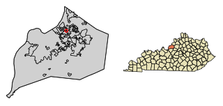
Crossgate is a home rule-class city in Jefferson County, Kentucky, United States. The population was 225 at the 2010 census.

Druid Hills is a home rule-class city in Jefferson County, Kentucky, United States. The population was 308 at the 2010 census. It was incorporated in 1950.

Glenview Manor is a home rule-class city in Jefferson County, Kentucky, United States. The population was 191 at the 2010 census.

Houston Acres is a home rule-class city in Jefferson County, Kentucky, United States. The population was 507 at the 2010 census.
Keeneland is a former city in Jefferson County, Kentucky, United States, that was dissolved on January 1, 2001 and annexed by the neighboring City of Lyndon. Keeneland is now a neighborhood of Lyndon and also a part of Louisville Metro.

Lincolnshire is a home rule-class city in Jefferson County, Kentucky, United States. The population was 148 at the 2010 census.

Manor Creek is a home rule-class city in Jefferson County, Kentucky, United States. The population was 140 at the 2010 census, down from 221 at the 2000 census.

Meadowbrook Farm is a neighborhood of Louisville, Kentucky, United States. It is separately incorporated as a home rule-class city. The population was 136 as of the 2010 census.
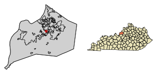
Meadowview Estates is a home rule-class city in Jefferson County, Kentucky, United States. The population was 178 at the 2020 census,.
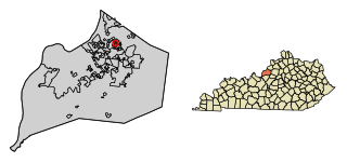
Murray Hill is a home rule-class city in Jefferson County, Kentucky, United States, and a part of the Louisville Metro government. The population was 582 during the 2010 census.
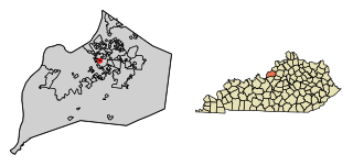
Norbourne Estates is a home rule-class city in Jefferson County, Kentucky, United States. The population was 441 at the 2010 census.

Norwood is a home rule-class city in Jefferson County, Kentucky, United States. The population was 370 at the 2010 census.

Richlawn is a home rule-class city in eastern Jefferson County, Kentucky, United States. The population was 415 at the 2020 United States Census. The population was 405 at the 2010 census, down from 454 at the 2000 census. It is surrounded by the larger city of St. Matthews.

Spring Mill is a home rule-class city in Jefferson County, Kentucky, United States. The population was 287 at the 2010 census, down from 380 at the 2000 census.

Ten Broeck is a home rule-class city in Jefferson County, Kentucky, United States. The population was 103 at the 2010 census.
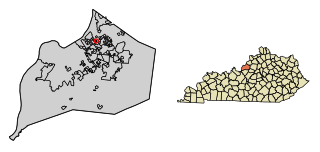
Thornhill is a home rule-class city in Jefferson County, Kentucky, United States. The population was 178 at the 2010 census.

Wildwood is a home rule-class city in Jefferson County, Kentucky, United States. The population was 261 at the 2010 census.

Alden is a city in Freeborn County, Minnesota, United States. The population was 661 at the 2010 census.


