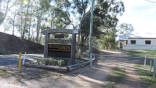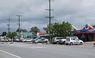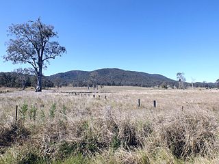
Mount Pleasant is a rural locality in the City of Moreton Bay, Queensland, Australia. In the 2021 census, Mount Pleasant had a population of 390 people.
Ningi is a town and locality in the City of Moreton Bay, Queensland, Australia. In the 2021 census, the locality of Ningi had a population of 5,349 people. It is near Caboolture.

Woodford is a rural town and locality in the City of Moreton Bay, Queensland, Australia. In the 2021 census, the locality of Woodford had a population of 4,022 people.

Morayfield is a town and suburb in the City of Moreton Bay, Queensland, Australia. In the 2021 census, the suburb of Morayfield had a population of 24,898 people.

The City of Moreton Bay, known until July 2023 as the Moreton Bay Region, is a local government area in the north of the Brisbane metropolitan city in South East Queensland, Australia. Established in 2008, it replaced three established local government areas, the City of Redcliffe and the Shires of Pine Rivers and Caboolture.

Caboolture South is a suburb in the City of Moreton Bay, Queensland, Australia. In the 2021 census, Caboolture South had a population of 7,539 people.

Mount Mee is a rural town and locality in the City of Moreton Bay, Queensland, Australia. In the 2021 census, the locality of Mount Mee had a population of 519 people.

D'Aguilar is a rural town and locality in the City of Moreton Bay, Queensland, Australia. It is located northwest of the larger centre of Caboolture. In the 2021 census, the locality of D'Aguilar had a population of 1,474 people, while the town of D'Aguilar had a population of 1,341 people.

Delaneys Creek is a rural locality in the City of Moreton Bay, Queensland, Australia. In the 2021 census, Delaneys Creek had a population of 1,366 people.
Bellmere is a rural locality in the City of Moreton Bay, Queensland, Australia. In the 2021 census, Bellmere had a population of 6,588 people.
King Scrub is a rural locality in the City of Moreton Bay, Queensland, Australia. In the 2021 census, King Scrub had a population of 363 people. It is located on the northern outskirts of Dayboro.
Elimbah is a rural town and locality in the City of Moreton Bay, Queensland, Australia. In the 2021 census, the locality of Elimbah had a population of 4,290 people.

Wamuran is a rural town and locality in the City of Moreton Bay, Queensland, Australia. In the 2021 census, the locality of Wamuran had a population of 3,374 people.

Wamuran Basin is a rural locality in the City of Moreton Bay, Queensland, Australia. In the 2021 census, Wamuran Basin had a population of 199 people.

Upper Caboolture is a rural locality in the City of Moreton Bay, Queensland, Australia. Formerly a rural area on the fringe of the town of Caboolture, since the 1990s the suburb has become increasingly urbanised.

Neurum is a rural town and locality in the City of Moreton Bay, Queensland, Australia. In the 2021 census, the locality of Neurum had a population of 178 people.

Rocksberg is a rural locality in the City of Moreton Bay, Queensland, Australia. In the 2021 census, Rocksberg had a population of 277 people.
Stony Creek is a rural locality in the City of Moreton Bay in Queensland, Australia. In the 2021 census, Stony Creek had a population of 245 people.

Mount Delaney is a rural locality in the City of Moreton Bay, Queensland, Australia. In the 2021 census, Mount Delaney had a population of 80 people.

Rush Creek is a rural locality in the City of Moreton Bay, Queensland, Australia. In the 2021 census, Rush Creek had a population of 152 people.


