
The Bruce Highway is a major highway in Queensland, Australia. Commencing in the state capital, Brisbane, it passes through areas close to the eastern coast on its way to Cairns in Far North Queensland. The route is part of the Australian National Highway and also part of Highway 1, the longest highway route in Australia. Its length is approximately 1,679 kilometres (1,043 mi); it is entirely sealed with bitumen. The highway is named after a popular former Queensland and federal politician, Harry Bruce. Bruce was the state Minister for Works in the mid-1930s when the highway was named after him. The highway once passed through Brisbane, but was truncated at Bald Hills when the Gateway Motorway became National Highway 1 upon its opening in December 1986.
Burpengary is a town and suburb in the City of Moreton Bay, Queensland, Australia. In the 2016 census, the suburb of Burpengary had a population of 14,022 people.

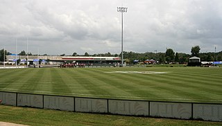
Caboolture is a town and suburb in the City of Moreton Bay, Queensland, Australia. In the 2021 census, the suburb of Caboolture had a population of 29,534 people. It is located on the northern side of the Caboolture River.
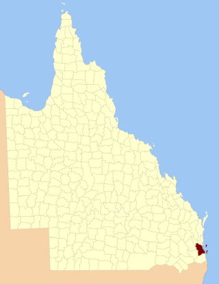
The County of Stanley is a cadastral division centred on the city of Brisbane in Queensland, Australia, that is used mainly for the purpose of registering land titles. It was named after Edward Stanley, who was three times British prime minister in the 1850s and 1860s. It is bounded by the Logan River in the south, the Brisbane River at what is now Lake Wivenhoe in the west, the Stanley River at what is now Lake Somerset in the north-west, and Caboolture River in the north. It includes Moreton Island and Stradbroke Island, and extends west to Ipswich's CBD, south to Loganlea and north to Morayfield.

Deception Bay is a coastal suburb in the City of Moreton Bay, Queensland, Australia. In the 2021 census, Deception Bay had a population of 19,573 people.

Morayfield is a town and suburb in the City of Moreton Bay, Queensland, Australia. In the 2016 census, the suburb of Morayfield had a population of 21,394 people.
Donnybrook is a coastal town and locality in the City of Moreton Bay, Queensland, Australia. In the 2016 census, the locality of Donnybrook had a population of 617 people.

Northgate is a suburb in the City of Brisbane, Queensland, Australia. In the 2016 census, Northgate had a population of 4,568 people.

Banksia Beach is a town and suburb on Bribie Island in the City of Moreton Bay, Queensland, Australia. In the 2016 census the suburb of Banksia Beach had a population of 5,995 people.
Rothwell is a coastal suburb in the City of Moreton Bay, Queensland, Australia. In the 2021 census, Rothwell had a population of 7,538 people.

Narangba is a town and suburb of the City of Moreton Bay, Queensland, Australia. It is located 34 kilometres (21 mi) north of Brisbane CBD. This suburb has rural origins, but is being redeveloped as a residential suburb on the outskirts of the greater Brisbane metropolitan area. In the 2021 census, Narangba had a population of 20,910 people.

Beachmere is a coastal rural town and locality in the City of Moreton Bay, Queensland, Australia. In the 2021 census, the locality of Beachmere had a population of 4,782 people.

Caboolture South is a suburb in the City of Moreton Bay, Queensland, Australia. In the 2021 census, Caboolture South had a population of 7,539 people.

The Caboolture River is a small river in South East Queensland, Australia.
Burpengary Creek is a tidal creek in the City of Moreton Bay, Queensland, Australia. It has a total catchment area of 7,960 hectares. It is about 40 kilometres north of Brisbane,
Sandstone Point is a coastal locality in the City of Moreton Bay, Queensland, Australia. In the 2021 census, Sandstone Point had a population of 4,094 people.

Woorim is a town and suburb of Bribie Island in the City of Moreton Bay, Queensland, Australia. In the 2016 census, Woorim had a population of 1,829 people.
Meldale is a coastal rural locality in the City of Moreton Bay, Queensland, Australia. In the 2021 census, Meldale had a population of 230 people.

Rocksberg is a rural locality in the City of Moreton Bay, Queensland, Australia. In the 2021 census, Rocksberg had a population of 277 people.
Burpengary–Caboolture Road is a continuous 8.0 kilometres (5.0 mi) road route in the City of Moreton Bay, Queensland, Australia. It is designated as part of State Route 60. It is a state-controlled district road, rated as a local road of regional significance (LRRS).

