
Mount Nebo is a rural locality in the City of Moreton Bay, Queensland, Australia. In the 2021 census, Mount Nebo had a population of 430 people.
Mount Pleasant is a rural locality in the City of Moreton Bay, Queensland, Australia. In the 2021 census, Mount Pleasant had a population of 390 people.

Kilcoy is a rural town and locality in the Somerset Region, Queensland, Australia. In the 2021 census, the locality of Kilcoy had a population of 1,996 people.

Woodford is a rural town and locality in the City of Moreton Bay, Queensland, Australia. In the 2021 census, the locality of Woodford had a population of 4,022 people.

Mount Mee is a rural town and locality in the City of Moreton Bay, Queensland, Australia. In the 2021 census, the locality of Mount Mee had a population of 519 people.

D'Aguilar is a rural town and locality in the City of Moreton Bay, Queensland, Australia. It is located northwest of the larger centre of Caboolture. In the 2021 census, the locality of D'Aguilar had a population of 1,474 people, while the town of D'Aguilar had a population of 1,341 people.
King Scrub is a rural locality in the City of Moreton Bay, Queensland, Australia. In the 2021 census, King Scrub had a population of 363 people. It is located on the northern outskirts of Dayboro.

Wamuran Basin is a rural locality in the City of Moreton Bay, Queensland, Australia. In the 2021 census, Wamuran Basin had a population of 199 people.
Bellthorpe is a rural locality in the City of Moreton Bay, Queensland, Australia. In the 2021 census, Bellthorpe had a population of 108 people.
Neurum is a rural town and locality in the City of Moreton Bay, Queensland, Australia. In the 2021 census, the locality of Neurum had a population of 178 people.
Stanmore is a rural locality in the City of Moreton Bay, Queensland, Australia. In the 2021 census, Stanmore had a population of 454 people.
Stony Creek is a rural locality in the City of Moreton Bay in Queensland, Australia. In the 2021 census, Stony Creek had a population of 245 people.

Villeneuve is a rural town and locality in the Somerset Region, Queensland, Australia. In the 2021 census, the locality of Villeneuve had a population of 193 people.

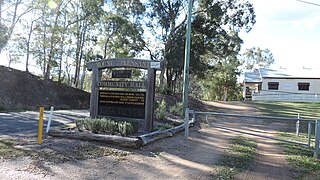
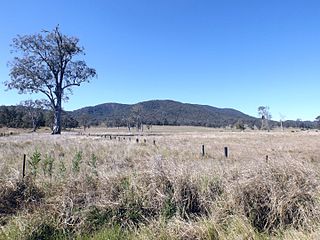
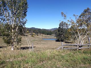
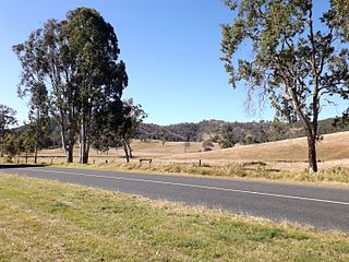
Mount Delaney is a rural locality in the City of Moreton Bay, Queensland, Australia. In the 2021 census, Mount Delaney had a population of 80 people.

Rush Creek is a rural locality in the City of Moreton Bay, Queensland, Australia. In the 2021 census, Rush Creek had a population of 152 people.

Glenfern is a rural locality in the Somerset Region, Queensland, Australia. In the 2021 census, Glenfern had a population of 11 people.
Sandy Creek is a rural locality in the Somerset Region, Queensland, Australia. In the 2021 census, Sandy Creek had a population of 593 people.

Mount Kilcoy is a rural locality in the Somerset Region, Queensland, Australia. In the 2021 census, Mount Kilcoy had a population of 277 people.
Winya is a rural locality in the Somerset Region, Queensland, Australia. In the 2021 census, Winya had a population of 127 people.

Woolmar is a rural locality in the Somerset Region, Queensland, Australia. In the 2021 census, Woolmar had a population of 565 people.


