
Caboolture railway station is located on the North Coast line in Queensland, Australia. It serves the urban centre of Caboolture in the City of Moreton Bay.

Caboolture is a town and suburb in the City of Moreton Bay, Queensland, Australia. It is located on the northern side of the Caboolture River. In the 2021 census, the suburb of Caboolture had a population of 29,534 people.
Ningi is a town and locality in the City of Moreton Bay, Queensland, Australia. In the 2021 census, the locality of Ningi had a population of 5,349 people. It is near Caboolture.

Deception Bay is a coastal suburb in the City of Moreton Bay, Queensland, Australia. In the 2021 census, Deception Bay had a population of 19,573 people.

Morayfield is a town and suburb in the City of Moreton Bay, Queensland, Australia. In the 2021 census, the suburb of Morayfield had a population of 24,898 people.

Donnybrook is a coastal town and locality in the City of Moreton Bay, Queensland, Australia. In the 2021 census, the locality of Donnybrook had a population of 664 people.

The City of Moreton Bay, known until July 2023 as the Moreton Bay Region, is a local government area in the north of the Brisbane metropolitan city in South East Queensland, Australia. Established in 2008, it replaced three established local government areas, the City of Redcliffe and the Shires of Pine Rivers and Caboolture.

Beachmere is a coastal rural town and locality in the City of Moreton Bay, Queensland, Australia. In the 2021 census, the locality of Beachmere had a population of 4,782 people.

D'Aguilar is a rural town and locality in the City of Moreton Bay, Queensland, Australia. It is located northwest of the larger centre of Caboolture. In the 2021 census, the locality of D'Aguilar had a population of 1,474 people, while the town of D'Aguilar had a population of 1,341 people.
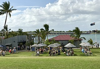
Bellara is a suburb of Bribie Island in the City of Moreton Bay, Queensland, Australia. In the 2021 census, Bellara had a population of 3,278 people.
Sandstone Point is a coastal locality in the City of Moreton Bay, Queensland, Australia. In the 2021 census, Sandstone Point had a population of 4,094 people.
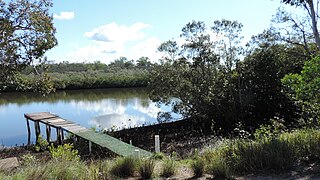
Coochin Creek is a coastal locality in the south of the Sunshine Coast Region, Queensland, Australia. The locality is named for the creek which flows through it.

Upper Caboolture is a rural locality in the City of Moreton Bay, Queensland, Australia. Formerly a rural area on the fringe of the town of Caboolture, since the 1990s the suburb has become increasingly urbanised.
Godwin Beach is a coastal rural locality in the City of Moreton Bay, Queensland, Australia. In the 2021 census, Godwin Beach had a population of 487 people.
Meldale is a coastal rural locality in the City of Moreton Bay, Queensland, Australia. In the 2021 census, Meldale had a population of 230 people.

Moodlu is a rural locality in the City of Moreton Bay, Queensland, Australia. In the 2021 census, Moodlu had a population of 285 people.

Rocksberg is a rural locality in the City of Moreton Bay, Queensland, Australia. In the 2021 census, Rocksberg had a population of 277 people.

White Patch is a coastal town and locality of Bribie Island in the City of Moreton Bay, Queensland, Australia. In the 2021 census, the locality of White Patch had a population of 150 people.

Welsby is a coastal locality on Bribie Island in the City of Moreton Bay, Queensland, Australia. In the 2021 census, Welsby had "no people or a very low population".
Beerburrum Road is a continuous 15.2-kilometre (9.4 mi) road route in the Moreton Bay and Sunshine Coast local government areas of Queensland, Australia. It is designated as part of State Route 60. It is a state-controlled district road, rated as a local road of regional significance (LRRS).


