
The Shire of Pine Rivers was a local government area about 20 kilometres (12 mi) north of Brisbane in the Moreton Bay region of South East Queensland, Australia. The shire covered an area of 771 square kilometres (297.7 sq mi), and existed as a local government entity from 1888 until 2008, when it amalgamated with councils further north and east to form the Moreton Bay Region, renamed in July 2023 as the City of Moreton Bay.
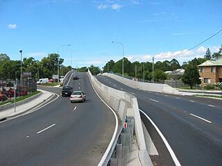
Petrie is a suburb in the City of Moreton Bay, Queensland, Australia. In the 2021 census, Petrie had a population of 8,722 people.

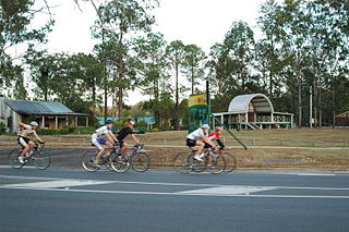
Dayboro is a rural town and locality in the City of Moreton Bay, Queensland, Australia. In the 2021 census, the locality of Dayboro had a population of 2,376 people.
Samford is a town in the City of Moreton Bay, South East Queensland, Australia. It consists of two localities, Samford Village and Samford Valley. In 2006 census, the town of Samford had a population of 656 people.
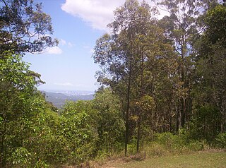
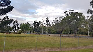
Camp Mountain is a rural locality in the City of Moreton Bay, Queensland, Australia. In the 2021 census, Camp Mountain had a population of 1,447 people.

Lawnton is a suburb in the City of Moreton Bay, Queensland, Australia. In the 2021 census, Lawnton had a population of 5,905 people.

Joyner is a suburb in the City of Moreton Bay, Queensland, Australia. It is part of the Brisbane metropolitan area. In the 2021 census, Joyner had a population of 3,600 people.

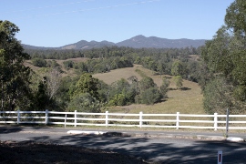
Samford Valley is a rural locality in the City of Moreton Bay, Queensland, Australia. It is one of two localities in the town of Samford, the other being Samford Village. In the 2021 census, Samford Valley had a population of 3,208 people.

Samford Village is a rural locality in the City of Moreton Bay, Queensland, Australia. It is one of two localities in the town of Samford, the other being Samford Valley. The town's urban area occupies much of the land of the locality. In the 2021 census, Samford Village had a population of 819 people.

Cashmere is a suburb in the City of Moreton Bay, Queensland, Australia. In the 2021 census, Cashmere had a population of 4,970 people.

Closeburn is a rural locality in the City of Moreton Bay, Queensland, Australia. In the 2021 census, Closeburn had a population of 562 people.

Mount Samson is a rural locality in the City of Moreton Bay, Queensland, Australia. In the 2021 census, Mount Samson had a population of 625 people.
Kobble Creek is a rural locality in the City of Moreton Bay, Queensland, Australia. In the 2021 census, Kobble Creek had a population of 654 people.
Kurwongbah is a rural locality in the City of Moreton Bay, Queensland, Australia. In the 2021 census, Kurwongbah had a population of 1,552 people.

Draper is a rural residential locality in the City of Moreton Bay, Queensland, Australia. In the 2021 census, Draper had a population of 695 people.
Highvale is a rural residential locality in the City of Moreton Bay, Queensland, Australia. In the 2021 census, Highvale had a population of 1,979 people.
Whiteside is a suburb in the City of Moreton Bay, Queensland, Australia. In the 2021 census, Whiteside had a population of 810 people.
Yugar is a rural locality in the City of Moreton Bay, Queensland, Australia. In the 2021 census, Yugar had a population of 406 people.

Dundas is a rural locality in the Somerset Region, Queensland, Australia. In the 2021 census, Dundas had a population of 58 people.

Rush Creek is a rural locality in the City of Moreton Bay, Queensland, Australia. In the 2021 census, Rush Creek had a population of 152 people.


