Cecil B. Moore | |
|---|---|
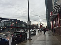
Temple University's Liacouras Center Paley Library Charles Library on the Campus of Temple University Mazur Hall Broad Street with Temple University's Morgan Hall on the right hand side. | |
 Cecil B. Moore | |
| Coordinates: 39°58′48″N75°09′36″W / 39.980°N 75.160°W | |
| Country | |
| State | Pennsylvania |
| County | Philadelphia |
| City | Philadelphia |
| Population (2014) | 37,289 [1] |
| ZIP code | 19121 |
| Area codes | 215, 267, and 445 |


Cecil B. Moore is a neighborhood in the North Philadelphia section of the city of Philadelphia, Pennsylvania, United States, named after the late Philadelphia-based civil rights attorney and politician Cecil B. Moore. The district is loosely arranged around the main campus of Temple University. The neighborhood has gentrified due to an influx of Temple students during the past several years.[ citation needed ] The controversial term "Templetown" was coined by former Temple president Peter J. Liacouras, but has only recently come into wide use after a real estate development company adopted the name. Cecil B. Moore Avenue is a major east-west street running through the neighborhood, where it intersects with N. Broad Street in Temple’s campus.

