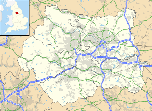
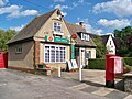
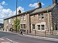
A civil parish is a subnational entity, forming the lowest unit of local government in England. There are 101 civil parishes in the ceremonial county of West Yorkshire, most of the county being unparished. At the 2001 census, there were 557,369 people living in the parishes, accounting for 26.8 per cent of the county's population.
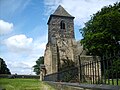
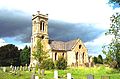
Parishes arose from Church of England divisions, and were originally purely ecclesiastical divisions. Over time they acquired civil administration powers.[1]
The Highways Act 1555 made parishes responsible for the upkeep of roads. Every adult inhabitant of the parish was obliged to work four days a year on the roads, providing their own tools, carts and horses; the work was overseen by an unpaid local appointee, the Surveyor of Highways.[2]
The poor were looked after by the monasteries, until their dissolution. In 1572, magistrates were given power to 'survey the poor' and impose taxes for their relief. This system was made more formal by the Poor Law Act 1601, which made parishes responsible for administering the Poor Law; overseers were appointed to charge a rate to support the poor of the parish.[3] The 19th century saw an increase in the responsibility of parishes, although the Poor Law powers were transferred to poor law unions.[4] The Public Health Act 1872 (35 & 36 Vict. c. 79) grouped parishes into rural sanitary districts, based on the poor law unions; these subsequently formed the basis for rural districts.[5]
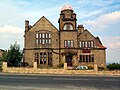
Civil parishes in their modern sense date from the Local Government Act 1894 (56 & 57 Vict. c. 73), which abolished vestries; established elected parish councils in all rural parishes with more than 300 electors; grouped rural parishes into rural districts; and aligned parish boundaries with county and borough boundaries.[7] Urban civil parishes continued to exist, and were generally coterminous with the urban district, municipal borough or county borough in which they were situated; many large towns contained a number of parishes, and these were usually merged into one. Parish councils were not formed in urban areas, and the only function of the parish was to elect guardians to poor law unions; with the abolition of the Poor Law system in 1930 the parishes had only a nominal existence.[8]
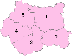
West Yorkshire showing the former local authorities
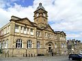
The current position
Recent governments have encouraged the formation of town and parish councils in unparished areas, and the Local Government and Rating Act 1997 gave local residents the right to demand the creation of a new civil parish.[10]
A parish council can become a town council unilaterally, simply by resolution;[9] and a civil parish can also gain city status, but only if that is granted by the Crown.[9] The chairman of a town or city council is called a mayor.[9] The Local Government and Public Involvement in Health Act 2007 introduced alternative names: a parish council can now choose to be called a community; village; or neighbourhood council.[11]
↑Alex MacMorran and T R Colquhoun Dill, The Local Government Act 1894 and the Subsequent Statutes Affecting Parish Councils, 1907, Butterworth and Co, London, 626 pages
↑Office for National Statistics: Census 2001: Table KS01: Usual Resident PopulationArchived 22 April 2015 at the Wayback Machine Armley; Beeston; Bramley; Burmantofts; Chapel Allerton; City and Holbeck; Cookridge; Halton (part); Harehills; Headingley; Hunslet; Kirkstall; Middleton (part); Moortown; North (part); Otley and Wharfedale (part); Richmond Hill; Roundhay (part); Seacroft; University; Weetwood; Whinmoor (part); and Wortley wards. Retrieved 26 August 2009
This page is based on this Wikipedia article Text is available under the CC BY-SA 4.0 license; additional terms may apply. Images, videos and audio are available under their respective licenses.