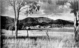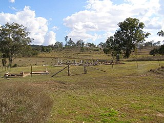
Westwood is a town in the Rockhampton Region and a locality split between the Rockhampton Region and the Shire of Banana in Queensland, Australia. It was the first town that was gazetted by the Queensland Government. In the 2021 census, the locality of Westwood had a population of 199 people.

Chinchilla is a rural town and locality in the Western Downs Region, Queensland, Australia. In the 2021 census, the locality of Chinchilla had a population of 7,068 people.

Aratula is a rural town and locality in the Scenic Rim Region, Queensland, Australia. In the 2016 census, the locality of Aratula had a population of 532 people.

Wandoan is a town and locality in the Western Downs Region, Queensland, Australia. It was formerly known as Juandah. It is on the Leichhardt Highway about halfway between Taroom and Miles and is the centre for the local cattle industry. In the 2016 census, Wandoan had a population of 566 people.

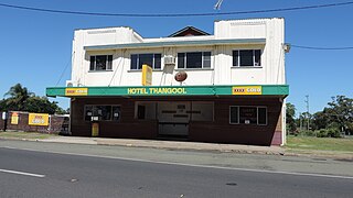
Thangool is a rural town and locality in the Shire of Banana, Queensland, Australia. In the 2016 census, the locality of Thangool had a population of 741 people.

Goovigen is a rural town and locality in the Shire of Banana, Queensland, Australia. In the 2016 census, the locality of Goovigen had a population of 215 people.

Wowan is a rural town and locality in the Shire of Banana, Queensland, Australia. In the 2016 census, the locality of Wowan had a population of 216 people.

Jambin is a rural town and locality in the Shire of Banana, Queensland, Australia. In the 2021 census, the locality of Jambin had a population of 207 people.

Marmor is a rural town and locality in the Rockhampton Region, Queensland, Australia. In the 2016 census, the locality of Marmor had a population of 212 people.

Macalister is a rural town and locality in the Western Downs Region, Queensland, Australia. In the 2016 census, the locality of Macalister had a population of 153.

Brigalow is a rural town and locality in the Western Downs Region, Queensland, Australia. In the 2016 census the locality of Brigalow had a population of 170 people.
Haden is a rural town and locality in the Toowoomba Region, Queensland, Australia. In the 2016 census, the locality of Haden had a population of 195 people.

Bouldercombe is a rural town and locality in the Rockhampton Region, Queensland, Australia. In the 2016 census, the locality of Bouldercombe had a population of 1,085 people.

Teviotville is a rural locality in the Scenic Rim Region, Queensland, Australia. In the 2021 census, Teviotville had a population of 114 people.

Beebo is a rural locality in the Goondiwindi Region, Queensland, Australia. It is on the Queensland border with New South Wales. In the 2021 census, Beebo had a population of 50 people.

Bergen is a rural locality in the Toowoomba Region, Queensland, Australia. In the 2021 census, Bergen had a population of 85 people.
Gurulmundi is a rural locality in the Western Downs Region, Queensland, Australia. In the 2021 census, Gurulmundi had a population of 19 people.
Wangan is a town and a locality in the Cassowary Coast Region, Queensland, Australia. In the 2021 census, the locality of Wangan had a population of 612 people.

Dalwogon is a rural locality in the Western Downs Region, Queensland, Australia. In the 2021 census, Dalwogon had a population of 53 people.
Wura is a rural locality in the Rockhampton Region, Queensland, Australia. In the 2021 census, Wura had "no people or a very low population".


