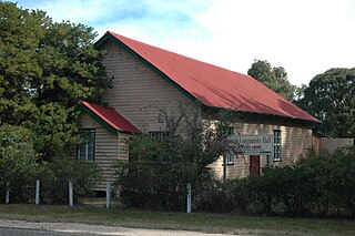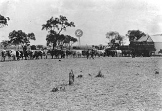
Thallon is a town and a locality in the Shire of Balonne, Queensland, Australia. In the 2021 census, the locality of Thallon had a population of 231 people.

Moonie is a rural town in the Western Downs Region and a locality split between the Western Downs Region and the Goondiwindi Region in Queensland, Australia. In the 2021 census, the locality of Moonie had a population of 182 people.

Macalister is a rural town and locality in the Western Downs Region, Queensland, Australia. In the 2021 census, the locality of Macalister had a population of 156 people.

Toobeah, pronounced 'two beer', is a rural town and locality in the Goondiwindi Region, Queensland, Australia. The locality is on the border of Queensland and New South Wales. In the 2021 census, the locality of Toobeah had a population of 149 people.

Spring Creek is a rural locality split between the Toowoomba Region and the Southern Downs Region, Queensland, Australia. In the 2021 census, Spring Creek had a population of 195 people.
Kumbarilla is a town and rural locality in the Western Downs Region, Queensland, Australia. In the 2021 census, the locality of Kumbarilla had a population of 223 people.

Westmar is a rural locality in the Western Downs Region, Queensland, Australia. In the 2021 census, Westmar had a population of 59 people.
Calingunee is a rural locality in the Goondiwindi Region, Queensland, Australia. In the 2021 census, Calingunee had a population of 18 people.

Weranga is a rural locality in the Western Downs Region, Queensland, Australia. In the 2021 census, Weranga had a population of 208 people.

Cottonvale is a rural locality in the Southern Downs Region, Queensland, Australia. It borders New South Wales and contains the town of Cotton Vale. In the 2021 census, Cottonvale had a population of 153 people.
Ducklo is a locality in the Western Downs Region, Queensland, Australia. In the 2021 census, Ducklo had a population of 306 people.
Moraby is a locality in the Western Downs Region, Queensland, Australia. In the 2021 census, Moraby had a population of 43 people.

Bungaban is a rural locality in the Western Downs Region, Queensland, Australia. In the 2021 census, Bungaban had a population of 60 people.

Coomrith is a locality in the Western Downs Region, Queensland, Australia. In the 2021 census, Coomrith had a population of 52 people.
Flinton is a rural town and locality in the Western Downs Region, Queensland, Australia. In the 2021 census, the locality of Flinton had a population of 29 people.

Nandi is a rural locality in the Western Downs Region, Queensland, Australia. In the 2021 census, Nandi had a population of 105 people.
Marmadua is a rural locality in the Western Downs Region, Queensland, Australia. In the 2021 census, Marmadua had a population of 15 people.
Drillham South is a rural locality in the Western Downs Region, Queensland, Australia. In the 2021 census, Drillham South had a population of 73 people.
Diamondy is a rural locality in the Western Downs Region, Queensland, Australia. In the 2021 census, Diamondy had a population of 72 people.
Chances Plain is a rural locality in the Western Downs Region, Queensland, Australia. In the 2021 census, Chances Plain had a population of 158 people.


