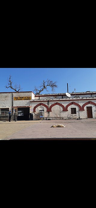
Beri is a town and a Municipal committee in the Jhajjar district in Indian state of Haryana. The city is located 17 kilometres (11 mi) northwest of Jhajjar city and is a trading center. Beri is one of the largest tehsils of Haryana State including 77 villages. Beri City is situated on Road Connecting Gurgaon to Hisar and Kosli (Rewari) to Rohtak. This is the middle of these four cities. The First Chief Minister of Haryana, Bhagwat Dayal Sharma, was from Beri village. The Town has a world famous temple dedicated to the goddess Mata Bhimeshwari Devi and Lord Krishna. The "Beri Pashu Mela" or "Beri Cattle Fair" is celebrated in the days of Navratra every 6 months and is famous for its donkeys and horses.
Agroha is a town in Haryana state of northern India. It is situated in Hisar district in between Hisar city and Fatehabad on NH 09. Ancient structures, pot-shards, coins and seals have been found in archaeological excavations at the Agroha Mound. The Agrawal and Agrahari communities claim origin from Agroha. According to their legends, Agroha was the capital of their founder Maharaj Agrasena.
Sadulpur ,(previously known as Rajgarh) is a city, municipality, tehsil and Legislative Assembly seat in Churu district of northern part of Rajasthan state in India. It lies in Shekhawati region at an elevation of 239 m (784 ft). To distinguish Rajgarh from several other places with same name, Sadulpur has become a synonym of Rajgarh town's name in recent times.

Jind is one of the largest and oldest city in Jind district in the Indian state of Haryana. It is administrative headquarter of Jind district. Rani Talab is the main destination for tourists while Pandu Pindara and Ramrai are the main religious spots, attracting devotees for the holy bath during Amavasya.
Bhadra is a city and a municipality in Hanumangarh district in the state of Rajasthan, India.
Ellenabad, previously known as Kharial is a city with a municipal committee, near Sirsa City in the Sirsa district of the state of Haryana, India. It is located on the south bank of the Ghaggar River in the heart of Bagar tract areas of Punjab, Haryana and Rajasthan and serves as a port of entry into the state of Haryana from the Rajasthan side. Its location make it more strategic as not only it is located near Rajasthan border in Haryana but Punjab border is also near to it. Because of this the city has a kind off cosmopolitan culture of Punjabis particularly Malwayi culture, Rajasthani Marwadi culture, Deshwali Haryanvi culture and native Bagri culture and traditions or a mix of all of them or some of them. The Ellenabad city is divided into 17 wards for which elections are held every five years. As of 2011, the city had a population of 52,285, divided between two governing bodies: Ellenabad Municipal Committee with 44,452 persons and Ellenabad Rural Gram panchayat with 7,833. As of 2022, the city is estimated to have a population exceeding 60,000. There has been a rising demand to merge both administrative bodies into one and upgrade it to Municipal Council level. Ellenabad Municipal Committee has total administration over 8,387 houses to which it supplies basic amenities like water and sewerage. It is also authorize to build roads within Municipal Committee limits and impose taxes on properties coming under its jurisdiction.
Manawar is a town with tehsil in Dhar district in the Indian state of Madhya Pradesh. The name Manawar came from name of river Mān that flows at southern edge of the town. Pin code of Manawar is 454446.
Narnaund is an emerging city on Hansi–Chandigarh highway, a municipal committee and Narnaund, in Hisar district in the Indian state of Haryana. The city Hansi is approximately 22 km away and another city Jind is 25 km. Narnaund is famous for its 'Main Bazar' as people from adjacent villages used to go there for purchases. The market has now developed to outer regions of the city also. Narnaund has famous Devraj-Mandir where people flock in large numbers on Ekadashi.
Safidon is a city and a municipal committee in Jind district in the Indian state of Haryana.Safidon was anciently known as "Sarp Daman"
Siwani is a town and a municipality located approx. 58 km from Bhiwani city in Bhiwani district in the north Indian state of Haryana. It is the administrative headquarters of Siwani tehsil.
Tohana is a city and a municipal council, just 56 km from Fatehabad City in Fatehabad district in the Indian state of Haryana. Its name comes from the Sanskrit 'Taushayana'. It is known as the City of Canals.
Uchana is a developing town and a municipal committee, near city of Jind in Jind district in the Indian state of Haryana.
Vijaynagar or Vijaynagar is a town and a municipality in Anupgarh district in the Indian state of Rajasthan.
Degana is a town municipality and headquarter to Sub-Division and Tehsil located in Nagaur district of Rajasthan, India.
Julana is a municipal committee town in the Jind district in the Haryana state of India. It is positioned in the Interior of Haryana and is usually known as the Heart of Haryana. It is the administrative headquarters of Julana Tehsil, located in the middle of Rohtak and Jind on NH 71.
Kanwari, also spelled Kunwari, or Kwari, is a village of 7,000 population, in Hansi-I Tehsil, Hisar-1 Rural Development Block, Hansi and Hisar of Hisar District of Hisar Division in the Haryana state of India. It is part of the saat bas bhaichara grouping of 7 villages. The village has 4 panna/patti (subdivisions), named as Nangalia Panna , upparla Panna , parla Panna , etc. with a total revenue land area of 43903 kanal or 5487 acre as per HALRIS records.
Nangli Godha is a village in Rewari tehsil of Rewari in the Indian state of Haryana.

Barwala is a town situated 30 km northeast of Hisar city. It is one of the 4 sub-division of Hisar district in the state of Haryana, India.
Dahima is a village in Hissar-1 Tehsil, Hisar district, Haryana, India. It is between the towns of Hisar and Tosham at about 16.6 kilometres (10.3 mi) on the Main District Road 108. Its Pin code is 125006.
Bhagana is a village in Hisar Tehsil in Hisar district, Haryana, India.

