Yarra Ranges National Park is located in the Central Highlands of Australia's southeastern state Victoria, 107 km northeast of Melbourne. Established in 1995 and managed by the statutory authority Parks Victoria, the park features a carbon-rich, temperate rainforest and a subalpine eucalypt forest on its northern plateau. It is home to large stands of mountain ash, the tallest tree species in Australia and among the tallest in the world. A wide diversity of fauna make their home across the park's 76,003 hectares, including kangaroos, wallabies, wombats, platypuses and 120 species of native birds. Among the conservation challenges facing Yarra Ranges National Park are climate change and invasive species of weeds.

The Yarra River or historically, the Yarra Yarra River, is a perennial river in south-central Victoria, Australia.

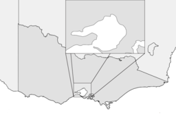
The Shire of Yarra Ranges, also known as Yarra Ranges Council, is a local government area in Victoria, Australia, located in the outer eastern and northeastern suburbs of Melbourne extending into the Yarra Valley and Dandenong Ranges. It has an area of 2,468 square kilometres (953 sq mi), of which 3% is classified as urban. In June 2018, it had a population of 158,173.
Chirnside Park is a suburb in Melbourne, Victoria, Australia, 38 km north-east from Melbourne's central business district, located within the Shire of Yarra Ranges local government area. Chirnside Park recorded a population of 11,779 at the 2021 census.

Lilydale is an outer suburb of Melbourne, Victoria, Australia, 34 km east-north-east from Melbourne's central business district, located within the Shire of Yarra Ranges local government area. Lilydale recorded a population of 17,348 at the 2021 census.
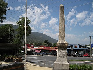
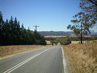
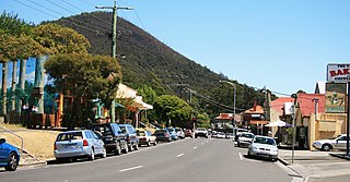
Montrose is a suburb in Melbourne, Victoria, Australia, 33 km east of Melbourne's central business district, located within the Shire of Yarra Ranges local government area. Montrose recorded a population of 6,900 at the 2021 census.
Warburton is a town in Victoria, Australia, 76 kilometres east of Melbourne's central business district, located within the Shire of Yarra Ranges local government area. Warburton recorded a population of 2,020 at the 2021 census.
Christmas Hills is a town in Victoria, Australia, 35 km (22 mi) north-east of Melbourne's Central Business District, located within the Shire of Nillumbik local government area. Christmas Hills recorded a population of 365 at the 2021 census.

Kilsyth is a suburb of Melbourne, Victoria, Australia, 32 kilometres (20 mi) east from Melbourne's central business district (CBD), located within the City of Maroondah and the Shire of Yarra Ranges local government areas. Kilsyth recorded a population of 11,699 at the 2021 census.
Eildon is a town in central Victoria, Australia. It is located near Lake Eildon, on the Goulburn Valley Highway, in the Shire of Murrindindi local government area. At the 2016 census, Eildon had a population of 974.
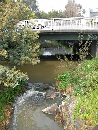
Olinda Creek is a major tributary of the Yarra River in Victoria, Australia. Its origins are in the Dandenong Ranges, and it is notable for passing through the settlement of Lilydale before joining with the Yarra near Coldstream.

The Hinze Dam is a rock and earth-fill embankment dam with an un-gated spillway across the Nerang River in the Gold Coast hinterland of South East, Queensland, Australia. The main purpose of the dam is for potable water supply of the Gold Coast region. The impounded reservoir is called Advancetown Lake.
Eastern Regional Libraries Corporation provides library services to the Cities of Knox, Maroondah and the Shire of Yarra Ranges in Victoria, Australia. The system has fourteen branch libraries, two community reading rooms and two mobile libraries to service the municipalities.

The Shire of Lillydale was a local government area about 40 kilometres (25 mi) northeast of Melbourne, the state capital of Victoria, Australia. The shire covered an area of 397.49 square kilometres (153.5 sq mi), and existed from 1856 until 1994.

The Shire of Upper Yarra was a local government area centred on the upper reaches of the Yarra Valley, about 60 kilometres (37 mi) east of Melbourne, the state capital of Victoria, Australia, extending eastwards into Victoria's interior. The shire covered an area of 1,732 square kilometres (668.7 sq mi), and existed from 1888 until 1994.

Karkarook Park is a metropolitan park in Melbourne, Victoria, Australia, located at the northwest corner of the southeastern suburb of Heatherton, southeast of the intersection between Warrigal Road and Dingley Bypass, accessible to cars only via Fairchild Street on the south side. The park is a wetland reserve built around the Karkarook Lake, a 15 hectares, 420 m (1,380 ft) wide artificial lake built from a pit created by sand mining between 1997 and 2001, filled in 2004 by groundwater pumped from a bore 500 metres (550 yd) to the southeast.

Melbourne is the capital city of southeastern Australian state of Victoria and also the nation's second most populous city, and has been consistently voted one of the most liveable cities in the world. Located on the northern/eastern coastal plains of Port Phillip Bay, the city is one of the drier capital cities in Australia, but due to its relatively flat terrain and the runoffs fed from surrounding highlands, still has many lakes, ponds and wetlands, mainly managed by Melbourne Water and Parks Victoria. The larger waterbodies are used for water sports, mostly boating but some are used for recreational activities like swimming, water skiing or model boating.

Clarrie Hall Dam is a minor ungated concrete faced rockfill embankment dam with an uncontrolled concrete-lined chute spillway across the Doon Doon Creek, located upstream of the small town of Uki, in the Northern Rivers region of New South Wales, Australia. The main purpose of the dam is for water supply and it creates the artificial Lake Clarrie Hall.
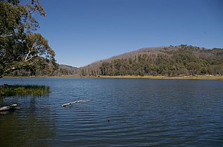
Lake Catani is an artificial lake in the Mount Buffalo National Park in Victoria, Australia. It was constructed in 1910 under the supervision and probably design of the Victorian Public Works engineer, Carlo Catani, to provide recreational facilities in the newly opened winter resort.

Dundas is a rural locality in the Somerset Region, Queensland, Australia. In the 2016 census Dundas had a population of 77 people.