This is a list of the National Register of Historic Places listings in Alfalfa County, Oklahoma.

This is a list of the National Register of Historic Places listings in Beaver County, Oklahoma.
This is a list of the National Register of Historic Places listings in Bryan County, Oklahoma.

This is a list of the National Register of Historic Places listings in Carter County, Oklahoma.

This is a list of the National Register of Historic Places listings in Cherokee County, Oklahoma.

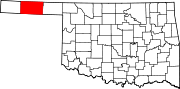
This is a list of the National Register of Historic Places listings in Cimarron County, Oklahoma.

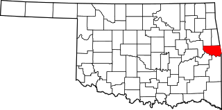
This is a list of the National Register of Historic Places listings in Muskogee County, Oklahoma.

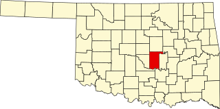
This is a list of the National Register of Historic Places listings in Garvin County, Oklahoma.

This is a list of the National Register of Historic Places listings in Grant County, Oklahoma.
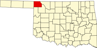
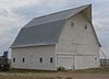
This is a list of the National Register of Historic Places listings in Harper County, Oklahoma.

This is a list of the National Register of Historic Places listings in Hughes County, Oklahoma.

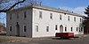
This is a list of the National Register of Historic Places listings in Kay County, Oklahoma.

This is a list of the National Register of Historic Places listings in Logan County, Oklahoma.

This is a list of the National Register of Historic Places listings in McClain County, Oklahoma.

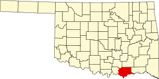
This is a list of the National Register of Historic Places listings in McCurtain County, Oklahoma.

This is a list of the National Register of Historic Places listings in Okfuskee County, Oklahoma.

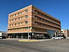
This is a list of the National Register of Historic Places listings in Payne County, Oklahoma.
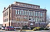
This is a list of the National Register of Historic Places listings in Pottawatomie County, Oklahoma.
This is a list of the National Register of Historic Places listings in Sequoyah County, Oklahoma.

This is intended to be a complete list of the properties on the National Register of Historic Places in Woods County, Oklahoma, United States. The locations of National Register properties for which the latitude and longitude coordinates are included below, may be seen in a map.