| Deen Maar Indigenous Protected Area | |
|---|---|
IUCN category VI (protected area with sustainable use of natural resources) | |
 Deen Maar Indigenous Protected Area | |
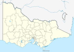
| Location | Victoria |
| Coordinates | 38°19′37″S142°2′11″E / 38.32694°S 142.03639°E |
| Area | 4.53 km2 (1.75 sq mi) [1] |
| Established | 8 November 1999 [1] |
Deen Maar Indigenous Protected Area is an Indigenous Protected Area (IPA) located in south-west Victoria, Australia, on land bounded by the Eumeralla River and Bass Strait. The nearest town is Yambuk.