
Konya Province, in southwest Central Anatolia, is the largest province of Turkey. The provincial capital is the city of Konya. Its traffic code is 42.
Sheikh Pir Nasiruddin Abul Hakayik Pir Mahmud bin Ahmed Ahi Evran bin Abbas Veli al-Khoyi (1169–1261), commonly known as Ahi Evran or Pir Ahi Evren-ı Veli, was a Turkic Alevi Sufi saint, preacher, philosopher, poet who wrote 20 books. He is mostly remembered as the founder and leader of the Ahi Brotherhood.

Nevşehir is a city in the Central Anatolia Region of Turkey. It is the seat of Nevşehir Province and Nevşehir District. Its population is 123,882 (2022). It is 290 km (180 mi) from the capital Ankara and lies within the historical region of Cappadocia.

Altındağ is a municipality and district of Ankara Province, Turkey. Its area is 123 km2, and its population is 413,994 (2022). It covers the northeastern part of the city of Ankara. Its elevation is 900 m (2,953 ft).

Emirgazi is a town and district of Konya Province in the Central Anatolia region of Turkey. According to 2000 census, population of the district is 14,698, of which 5,562 live in the town of Emirgazi.
Ilgın is a town and district of Konya Province in the Central Anatolia region of Turkey. According to 2000 census, population of the district is 75,681 of which 26,698 live in the town of Hadim.

Kadınhanı is a town and district of Konya Province in the Central Anatolia region of Turkey. The name of the town refers to a certain female commissioner of an inn in the town. According to 2000 census, population of the district is 41,844 of which 14,816 live in the town of Kadınhanı.

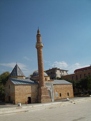
Karatay is a town and district of Konya Province in the Central Anatolia region of Turkey. Karatay is one of the central districts of Konya along with the districts of Meram and Selçuklu. According to 2000 census, population of the district is 214,589 of which 183,677 live in the urban center of Karatay.

Selçuklu is a town and district of the Konya Province in the Central Anatolia region of Turkey. Selçuklu is one of the central districts of Konya, along with the districts of Karatay and Meram. According to the 2000 census, the population of the district was 348,329, of which 327,627 lived in the urban center of Selçuklu.

Yalıhüyük is a town and district of Konya Province in the Central Anatolia region of Turkey. According to 2000 census, population of the district was 5,575 of whom 5,330 live in the town of Yalıhüyük. Gölcük Plateau is located in the district.
Güneysınır is a town and district of Konya Province in the Central Anatolia region of Turkey. Karasınır and Güneybağ form the major neighbourhoods of the district. According to 2000 census, population of the district is 24,301 of which 10,217 live in the town of Güneysınır.
Kulu is a town and district of Konya Province in the Central Anatolia region of Turkey. According to the 2011 census, the population of the district is 55,573 and 22,844 of that number live in the town of Kulu. Kulu is situated approximately 110 km from Ankara and 150 km from the city of Konya. With a substantial Swedish-Turkish community, not few of whom are from this region, Kulu hosts around 100,000 visitors from Europe in the summer. Swedish Prime Minister Fredrik Reinfeldt visited the city once.

Seydişehir is a town and district of Konya Province in the Mediterranean region of Turkey. According to a 2000 census, the population of the district is 85,456 of which 48,372 live in the town of Seydişehir.

Haji Bayram Veli or Wali (1352–1430) was an Ottoman poet, Sufi saint, and the founder of the Bayrami Order. He also composed a number of hymns.

Sheyh Hamid-i Vali (1331–1412), better known by his sobriquet Somunju Baba, was an ascetic teacher of Islam in Bursa, Turkey, who exerted extensive influence and is known as a Muslim saint. He was born in Kayseri and died in Aksaray. He taught at the Ulu Camii where he was installed by Sultan Bayezid I after it was completed. Somunju Baba's students included Molla Fenari and Hacı Bayram-ı Veli.
Dedemli is a neighbourhood of the municipality and district of Hadim, Konya Province, Turkey. Its population is 848 (2022). Before the 2013 reorganisation, it was a town (belde).
Kayıhan is a town (belde) and municipality in the İhsaniye District, Afyonkarahisar Province, Turkey. Its population is 2,119 (2022). The Kayıhan municipality was created in 1989 by the consolidation of the villages of Tekke, Garen, and Kunduzlu. Kayıhan's current neighborhoods include Pınar, Cumhuriyet, Türbe, and Kunduzlu.

Akshamsaddin, was an influential Ottoman Sunni Muslim scholar, poet, and mystic saint.


