| Hoxa | |
|---|---|
 The site of The Howe of Hoxa broch (at left) | |
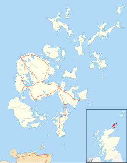 Hoxa Location within Orkney | |
| OS grid reference | HY423935 |
| Civil parish | |
| Council area | |
| Lieutenancy area | |
| Country | Scotland |
| Sovereign state | United Kingdom |
| Post town | ORKNEY |
| Postcode district | KW17 |
| Dialling code | 01856 |
| Police | Scotland |
| Fire | Scottish |
| Ambulance | Scottish |
| UK Parliament | |
| Scottish Parliament | |
Hoxa is a small settlement on the island of South Ronaldsay in the Orkney Islands north of mainland Scotland. Hoxa is located 1+1⁄4 miles (2.0 km) west of St Margaret's Hope [1] at the end of the B9043 road. [2]
Thorfinn Turf-Einarsson the 10th-century Norse Earl of Orkney (aka Thorfinn Skullsplitter) may be buried at the site of The Howe broch, just north of Hoxa. [3]