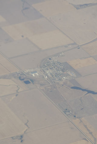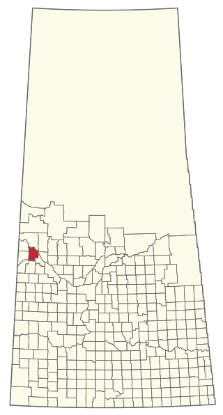
Rosthern is a town at the juncture of Highway 11 and Highway 312 in central Saskatchewan, Canada. It is roughly halfway between the cities of Prince Albert and Saskatoon.
Spiritwood is a town in the boreal forest of central Saskatchewan, Canada with a population of approximately 1,000. Its location is 125 km west of Prince Albert and about 110 km northeast of North Battleford at the junction of Highway 3, Highway 24 and Highway 376. As the largest community in the region, the community functions as the major supply, service, and administrative headquarters for the trading area population which includes several First Nation reserves including Witchekan Lake, Big River, and Pelican Lake.

Assiniboia is a town in the Canadian province of Saskatchewan. It is about 110 kilometres (68 mi) south-southwest of Moose Jaw beside Highway 2 and Highway 13.
Shellbrook is a town in Saskatchewan, Canada about 44.5 kilometres (27.7 mi) west of Prince Albert. The population of the town was 1,433 in 2011. Highways 3, 40, and 55 provide access to the community. Approximately 50 businesses provide a wide range of goods, services, and professional expertise.

The Rural Municipality of Eye Hill No. 382 is a rural municipality (RM) in the Canadian province of Saskatchewan within Census Division No. 13 and SARM Division No. 6. It is located in the west-central portion of the province adjacent to the Alberta boundary.

The Rural Municipality of Senlac No. 411 is a rural municipality (RM) in the Canadian province of Saskatchewan within Census Division No. 13 and SARM Division No. 6. Located in the west-central portion of the province, it is adjacent to the Alberta boundary.

Waldheim is a town of 1,035 residents in the Rural Municipality of Laird No. 404, in the Canadian province of Saskatchewan, 57 kilometres (35 mi) north of Saskatoon. Waldheim is located on Highway 312 in central Saskatchewan, the "Heart of the Old North-Wes". Fort Carlton, Batoche, Battle of Fish Creek, and Seager Wheeler's Maple Grove Farm are all near Waldheim.

Watson is a town of 777 residents in the Rural Municipality of Lakeside No. 338, in the Canadian province of Saskatchewan. Watson is located on the intersection of Highway 5 and Highway 6, the Canam Highway. Watson is approximately the same distance from Saskatoon which is to the west, and Regina to the south, which gives rise to its town motto, "Industrial Crossroads of Saskatchewan".
Bengough is a town surrounded by the Rural Municipality of Bengough No. 40, in the Canadian province of Saskatchewan. A southeastern Saskatchewan prairie town, Bengough is located east of Willow Bunch Lake on Highway 34 near Highway 705. The town is named Bengough after cartoonist John Wilson Bengough. Bengough also plays host to the Gateway Festival which showcases various musicians and several other events through the weekend, usually taking place in late July.

St. Brieux is a town in the Canadian province of Saskatchewan. It is located near Highway 368 and Highway 779. St. Brieux is located north of the village of Lake Lenore on the eastern shore of St. Brieux Lake. St. Brieux Regional Park and Golf Course is adjacent to the west side of the town.

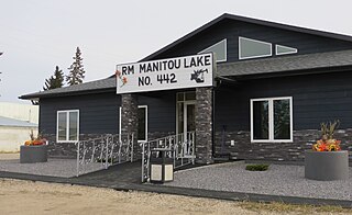
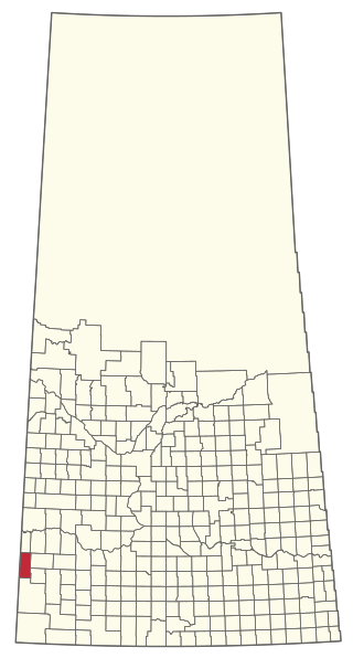
The Rural Municipality of Manitou Lake No. 442 is a rural municipality (RM) in the Canadian province of Saskatchewan within Census Division No. 13 and SARM Division No. 6.

The Rural Municipality of Enterprise No. 142 is a rural municipality (RM) in the Canadian province of Saskatchewan within Census Division No. 8 and SARM Division No. 3. It is located in the southwest portion of the province.
Big River is a town located on the southern end of Cowan Lake in north central Saskatchewan, Canada. It is just north of Saskatchewan's extensive grain belt on Highway 55 and about 16 kilometres (10 mi) west of Prince Albert National Park. Delaronde Lake is accessed east of the town. Big River is approximately 132 kilometres (82 mi) from Prince Albert.

Maidstone is a town in west central Saskatchewan, Canada about 57 km east of Lloydminster and 84 km west of North Battleford at the junction of Highway 16 and Highway 21. The community was named after Maidstone, Kent, England.
Porcupine Plain is a town in Saskatchewan, Canada. It is accessed by Highway 23. Greenwater Lake Provincial Park is 5 kilometres (3.1 mi) southwest on Highway 38. The town is located within the Porcupine Provincial Forest. The town was originally settled by returning World War I veterans who settled in the area during the early 1920s. Quilly Willy is the town mascot used on promotional material.

Lucky Lake is a village in the Canadian province of Saskatchewan within the Rural Municipality of Canaan No. 225 and Census Division No. 7. The Village is located at the junction of Highway 42, Highway 45 and Highway 646 approximately 90 km northeast of Swift Current, Saskatchewan.

Marsden is a village in the Canadian province of Saskatchewan within the Rural Municipality of Manitou Lake No. 442 and Census Division No. 13. It gained notoriety shortly after the impact of the Buzzard Coulee meteorite near the village on 20 November 2008.
Middle Lake is a village in the Canadian province of Saskatchewan within the Rural Municipality of Three Lakes No. 400 and Census Division No. 15. The village has a public K-12 school, a nursing home, and a regional park. It is adjacent to Lucien Lake and accessed from Highway 20. The surrounding area is largely agricultural.

The Rural Municipality of Britannia No. 502 is a rural municipality (RM) in the Canadian province of Saskatchewan within Census Division No. 17 and SARM Division No. 6. It is located in the west-central portion of the province.

The Rural Municipality of Eldon No. 471 is a rural municipality (RM) in the Canadian province of Saskatchewan within Census Division No. 17 and SARM Division No. 6.


