
The Condamine River, part of the Balonne catchment that is part of the Murray-Darling Basin, drains the northern portion of the Darling Downs, an area of sub-coastal southern Queensland, Australia. The river is approximately 500 kilometers (310 mi) long and rises on Mount Superbus, South East Queensland's highest peak, on the western slopes of the Great Dividing Range, approximately 100 kilometres (62 mi) from the east coast of Queensland, and then flows north west across the Darling Downs, then west. The Condamine River is a tributary of the Darling River.
The Severn River, a perennial river that forms part of the Border Rivers group, is part of the Macintyre catchment of the Murray–Darling basin, located in the Northern Tablelands and North West Slopes regions of New South Wales, Australia.
The Macintyre River, a perennial river that forms part of the Border Rivers group, is part of the Barwon catchment of the Murray-Darling basin, located in the Northern Tablelands and North West Slopes regions of New South Wales, and the Southern Downs region of Queensland, Australia.

The Dumaresq River ; a perennial stream of the Macintyre catchment within the Murray–Darling basin, is located in the Northern Tablelands and North West Slopes regions of New South Wales and the Darling Downs region of Queensland, Australia.
The Severn River, a perennial river that forms part of the Border Rivers group, is part of the Macintyre catchment of the Murray-Darling basin, located in the Darling Downs region of Queensland, Australia.

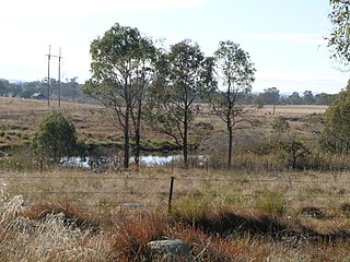
The Bungil Creek, part of the Balonne catchment within the Murray-Darling basin, is a perennial stream in South West Queensland, Australia.
The Pike Creek, a perennial stream that is one of the Border Rivers and part of the Macintyre catchment within the Murray–Darling basin, is located in the Darling Downs region of Queensland, Australia

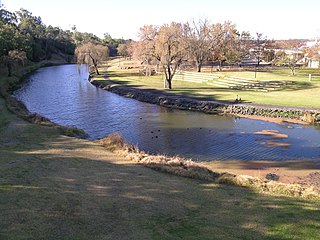
The Maranoa River, part of the Murray-Darling basin, is a river situated in South West Queensland, Australia.
The Bokhara River, a watercourse that is part of the Barwon catchment within the Murray–Darling basin, is located in the South Downs region of Queensland, flowing downstream into the north–western slopes of New South Wales, Australia. It flows through the lower Balonne floodplain.

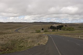
The Nive River is a river that is part of the Darling catchment within the Murray–Darling basin, is located in the south west region of Queensland, Australia.
The Jugiong Creek, a mostly–perennial river that is part of the Murrumbidgee catchment within the Murray–Darling basin, is located in the South West Slopes region of New South Wales, Australia.
The Blakney Creek, a mostly–perennial river that is part of the Lachlan sub-catchment of the Murrumbidgee catchment within the Murray–Darling basin, is located in the South West Slopes region of New South Wales, Australia.
The Bulla Creek, a mostly–perennial river that is part of the Lachlan sub-catchment of the Murrumbidgee catchment within the Murray–Darling basin, is located in the South West Slopes region of New South Wales, Australia. The Bulla Creek is only connected to the Murray Darling basin when the Bland Creek and both the Lachlan and Murrumbidgee Rivers are in flood.
The Cullinga Creek, a mostly–perennial river that is part of the Murrumbidgee catchment within the Murray–Darling basin, is located in the South West Slopes region of New South Wales, Australia.
The Jerrara Creek, a watercourse that is part of the Lachlan sub-catchment of the Murrumbidgee catchment within the Murray–Darling basin, is located in the South West Slopes region of New South Wales, Australia.
The Jerrawa Creek, a watercourse that is part of the Lachlan sub-catchment of the Murrumbidgee catchment within the Murray–Darling basin, is located in the South West Slopes region of New South Wales, Australia.

The Pudman Creek, a perennial stream that is part of the Lachlan sub-catchment of the Murrumbidgee catchment within the Murray–Darling basin, is located in the South West Slopes region of New South Wales, Australia.
Rock Flat Creek is a watercourse that is part of the Murrumbidgee catchment within the Murray–Darling basin. It is located in the Monaro region of New South Wales, Australia.
The Rocky Ponds Creek, a watercourse that is part of the Murrumbidgee catchment within the Murray–Darling basin, is located in the South West Slopes region of New South Wales, Australia.
The Weir River, a river that is part of the Border Rivers group and also forms part of the Barwon River catchment in the Murray–Darling basin, is located in the Darling Downs region of Queensland, Australia.
