
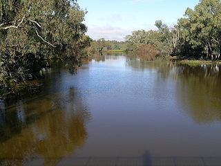
Macquarie River a watercourse that is part of the Macquarie–Barwon catchment within the Murray–Darling basin, is one of the main inland rivers in New South Wales, Australia.

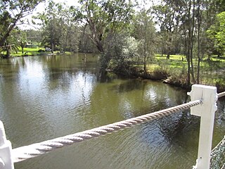
Talbragar River, a perennial stream that is part of the Macquarie catchment within the Murray-Darling basin, is located in the Orana district of New South Wales, Australia.

Lake Burrendong is a man-made reservoir created by Burrendong Dam. It impounds waters on the Macquarie and Cudgegong rivers, near Wellington, in the central west region of New South Wales, Australia.
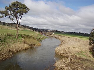
Bogan River, a perennial river that is part of the Macquarie–Barwon catchment within the Murray–Darling basin, is located in the central west and Orana regions of New South Wales, Australia.

The Lachlan River is an intermittent river that is part of the Murrumbidgee catchment within the Murray–Darling basin, located in the Southern Tablelands, Central West, and Riverina regions of New South Wales, Australia.
Burrendong Dam is a rock-fill embankment major gated dam with a clay core across the Macquarie River upstream of Wellington in the central west region of New South Wales, Australia. The dam's purpose includes flood mitigation, irrigation, water supply and hydro-electric power generation. The dam impounds Lake Burrendong and is filled by the waters from the Macquarie, and Cudgegong rivers as well as Meroo Creek.
Little River (Dubbo), a watercourse of the Macquarie catchment within the Murray-Darling basin, is located in the central western and Orana districts of New South Wales, Australia.

Windamere Dam is a minor ungated rock fill with clay core embankment dam with an uncontrolled unlined rock cutting spillway across the Cudgegong River at Cudgegong in the Mid-Western Region Council, New South Wales, Australia. It is upstream of Mudgee in the Central Tablelands region. The dam's purpose includes hydro-power, irrigation, water supply, and conservation. The impounded reservoir is called Lake Windamere.
Dora River is a watercourse that is located in the Upper Central Coast/Lower Hunter regions of New South Wales, Australia.
The Cordeaux River, a perennial river of the Hawkesbury-Nepean catchment, is located in the Southern Highlands and Macarthur regions of New South Wales, Australia.

Fish River, a perennial stream that is part of the Macquarie catchment within the Murray–Darling basin, is located in the central western district of New South Wales, Australia.
Jerrabomberra Creek, a partly perennial stream of the Murrumbidgee catchment within the Murray-Darling basin, is located in the Capital Country region spanning both New South Wales and the Australian Capital Territory, Australia.
Bolong River, a watercourse that is part of the Lachlan catchment within the Murray–Darling basin, is located in the central–western region of New South Wales, Australia.
Campbells River, a perennial stream that is part of the Upper Macquarie catchment within the Murray–Darling basin, is located in the central–western region of New South Wales, Australia.
Crudine River, a watercourse that is part of the Macquarie catchment within the Murray–Darling basin, is located in the central western district of New South Wales, Australia.
Meroo River, also called Meroo Creek, a watercourse that is part of the Macquarie catchment within the Murray–Darling basin, is located in the central western district of New South Wales, Australia.
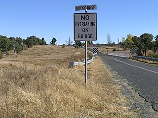
Rocky River, a watercourse of the Gwydir catchment within the Murray–Darling basin, is located in the Northern Tablelands district of New South Wales, Australia.
Bell River, a watercourse that is part of the Macquarie catchment within the Murray–Darling basin, is located in the central west region of New South Wales, Australia.
Isabella River, a perennial stream that is part of the Lachlan catchment within the Murray–Darling basin, is located in the central–western region of New South Wales, Australia.
Jerrabattgulla Creek, a perennial stream of the Shoalhaven River catchment, is located in the Southern Tablelands region of New South Wales, Australia.
