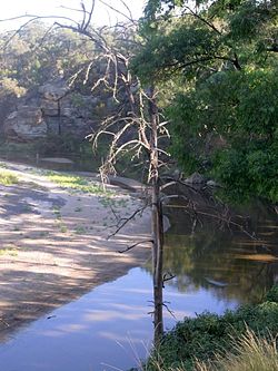
Paterson River, a perennial river that is part of the Hunter River catchment, is located in the Hunter and Mid North Coast regions of New South Wales, Australia.

Abercrombie River, a perennial river that is part of the Murray–Darling basin, is located in the central west of New South Wales, Australia.
The Billabong Creek, a perennial river of the Murrumbidgee catchment within the Murray–Darling basin, is located in the South West Slopes region of New South Wales, Australia.

Barnard River, a perennial river of the Manning River catchment, is located in the Northern Tablelands and Mid North Coast districts of New South Wales, Australia.
Bow River, a partly perennial stream of the Hunter River catchment, is located in the Hunter district of New South Wales, Australia.
Bylong River, a perennial river of the Hunter River catchment, is located in the Central Tablelands and Upper Hunter regions of New South Wales, Australia.
Krui River, a perennial river of the Hunter River catchment, is located in the Upper Hunter region of New South Wales, Australia.
Merriwa River, a perennial river of the Hunter River catchment, is located in the Upper Hunter region of New South Wales, Australia.
Munmurra River, a perennial river of the Hunter River catchment, is located in the Upper Hunter region of New South Wales, Australia.

The Williams River is a perennial stream that is a tributary of the Hunter River, in the Hunter Region of New South Wales, Australia.
Worondi Rivulet, a perennial stream of the Hunter River catchment, is located in the Upper Hunter region of New South Wales, Australia.

The Billabong Creek, a partly perennial stream of the Murray River catchment within the Murray-Darling basin, is located in the Riverina region of New South Wales, Australia.
The Imlay Creek is a perennial river of the Genoa River catchment, with its headwaters and lower reaches located in the South Coast region of New South Wales, Australia.
Bettowynd Creek, a partly perennial stream of the Moruya River catchment, is located in the Southern Tablelands and South Coast regions of New South Wales, Australia.
Baerami Creek, a partly perennial stream of the Hunter River catchment, is located in the Hunter region of New South Wales, Australia.
Blackwater Creek, a perennial stream of the Hunter River catchment, is located in the Hunter region of New South Wales, Australia.
Cattle Creek, a partly perennial stream of the Hunter River catchment, is located in the Hunter region of New South Wales, Australia.

Congewai Creek, a watercourse of the Hunter River catchment, is located in the Hunter district of New South Wales, Australia.
Pages Creek, a mostly perennial stream of the Hunter River catchment, is located in the Hunter region of New South Wales, Australia.
Widden Brook, a partly perennial stream of the Hunter River catchment, is located in the Hunter region of New South Wales, Australia.


