
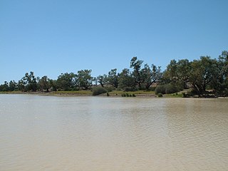
The Nambucca River is a river located in the Mid North Coast region of New South Wales, Australia.

Bellinger River, an open and trained mature wave dominated, barrier estuary, is located in the Mid North Coast region of New South Wales, Australia.

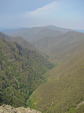
Barnard River, a perennial river of the Manning River catchment, is located in the Northern Tablelands and Mid North Coast districts of New South Wales, Australia.
The Capertee River, a perennial stream that is part of the Hawkesbury-Nepean catchment, is located in the Central Tablelands region of New South Wales, Australia.
The Coolumbooka River, a perennial river of the Snowy River catchment, is located in the Monaro region of New South Wales, Australia.
Corindi River, an open mature wave dominated barrier estuary, is located in the Northern Rivers region of New South Wales, Australia.
Krui River, a perennial river of the Hunter River catchment, is located in the Upper Hunter region of New South Wales, Australia.
The Leycester Creek, formerly known as Duck Creek, is a perennial stream of the Richmond River catchment, is located in Northern Rivers region in the state of New South Wales, Australia.
The Merrica River is an intermediate intermittently closed saline coastal lagoon or perennial river located in the South Coast region of New South Wales, Australia.
Never Never River, a perennial stream of the Bellinger River catchment, is located in the Mid North Coast region of New South Wales, Australia.
Taylors Arm is a perennial river of the Nambucca River catchment, located in the Mid North Coast region of New South Wales, Australia.
Towallum River, a perennial river of the Clarence River catchment, is located in the Northern Tablelands region of New South Wales, Australia.
The Towamba River is an open mature wave dominated barrier estuary or perennial river, located in the South Coast region of New South Wales, Australia.
Wallingat River, a watercourse of the Mid-Coast Council system, is located in the Mid North Coast district of New South Wales, Australia.
Wooli Wooli River, an open and trained mature wave dominated, barrier estuary, is located in the Northern Rivers region of New South Wales, Australia.

The Back Creek, a perennial stream of the Richmond River catchment, is located in Northern Rivers region in the state of New South Wales, Australia.
The Coopers Creek, a perennial stream of the Richmond River catchment, is located in Northern Rivers region in the state of New South Wales, Australia.
The Tooloom Creek, a perennial stream of the Clarence River catchment, is located in the Northern Rivers region in the state of New South Wales, Australia.
The Eden Creek, a perennial stream of the Richmond River catchment, is located in Northern Rivers region in the state of New South Wales, Australia.
The Kanangra Creek, a perennial stream of the Hawkesbury-Nepean catchment, is located in the Blue Mountains region of New South Wales, Australia.
