
Paterson River, a perennial river that is part of the Hunter River catchment, is located in the Hunter and Mid North Coast regions of New South Wales, Australia.
Avon River, a perennial stream of the Manning River catchment, is located in the Upper Hunter region of New South Wales, Australia.

Barrington River, a perennial river of the Manning River catchment, is located in the Upper Hunter district of New South Wales, Australia.

The Mount Royal Range is a mountain range in the Hunter region of New South Wales, Australia.

Karuah River, an open semi-mature tide dominated drowned valley estuary is located in the Mid North Coast and Hunter regions of New South Wales, Australia.
Monkerai is a large rural area in the hills in the land between Dungog and Gloucester in Mid-Coast Council, in the Hunter Region, New South Wales, Australia.

Barnard River, a perennial river of the Manning River catchment, is located in the Northern Tablelands and Mid North Coast districts of New South Wales, Australia.
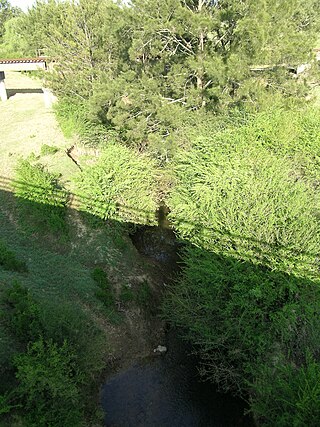
The Chichester River, a perennial stream of the Hunter River catchment, is located in the Hunter region of New South Wales, Australia.
Cobark River, a perennial river of the Manning River catchment, is located in the Upper Hunter district of New South Wales, Australia.

Gloucester River, a perennial river and major tributary of the Manning River catchment, is located in the Mid North Coast hinterland New South Wales, Australia.
Kerripit River, a perennial river of the Manning River catchment, is located in the Upper Hunter district of New South Wales, Australia.
Moppy River, a perennial river of the Manning River catchment, is located in the Upper Hunter district of New South Wales, Australia.
Pambula River is an open semi-mature wave dominated barrier estuary or perennial river located in the South Coast region of New South Wales, Australia.
Walcrow River, a watercourse of the Manning River catchment, is located in the Northern Tablelands and Mid North Coast districts of New South Wales, Australia.
Wangat River, a perennial river of the Hunter River catchment, is located in the Hunter region of New South Wales, Australia.

The Allyn Range is a mountain range in New South Wales, Australia. It is part of the Barrington Tops region and joins the Mount Royal Range on the Barrington Tops plateau to the north. High points on the range include Eremeren Point, Ben Bullen, Mount Gunama, Mount Lumeah and Mount Allyn.
Dingo Creek, a perennial stream of the Manning River catchment, is located in the Mid North Coast region of New South Wales, Australia.
Moonan Brook, a mostly perennial stream of the Hunter River catchment, is located in the Hunter region of New South Wales, Australia.
Stewarts Brook, a perennial stream of the Hunter River catchment, is located in the Hunter region of New South Wales, Australia.

On 9 August 1981, a Cessna 210 flying from Whitsunday Coast Airport to Bankstown Airport via Gold Coast Airport lost contact after flying into adverse weather. The last known contact with the aircraft was in the Barrington Tops area. Nothing further was heard and no trace of the aircraft or its occupants has so far been found despite extensive searches.

