Avon River, a perennial stream of the Manning River catchment, is located in the Upper Hunter region of New South Wales, Australia.
The Bombala River, a perennial river of the Snowy River catchment, is located in the Monaro region of New South Wales, Australia.

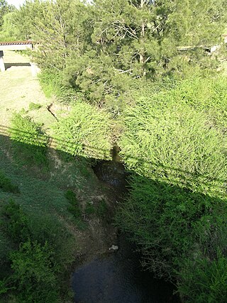
Mooki River, a perennial stream that is part of the Namoi catchment within the Murray–Darling basin, is located in the Northern Tablelands district of New South Wales, Australia.

Karuah River, an open semi-mature tide dominated drowned valley estuary is located in the Mid North Coast and Hunter regions of New South Wales, Australia.

Barnard River, a perennial river of the Manning River catchment, is located in the Northern Tablelands and Mid North Coast districts of New South Wales, Australia.
Bowman River, a perennial river of the Gloucester River catchment, is located in the Upper Hunter district of New South Wales, Australia.
Bredbo River, a perennial stream that is part of the Murrumbidgee catchment within the Murray–Darling basin, is located in the Monaro region of New South Wales, Australia.
Cobark River, a perennial river of the Manning River catchment, is located in the Upper Hunter district of New South Wales, Australia.

Cooplacurripa River, a perennial river of the Manning River catchment, is located in the Northern Tablelands and Mid North Coast districts of New South Wales, Australia.
Curricabark River, a perennial river of the Manning River catchment, is located in the Northern Tablelands region of New South Wales, Australia.
Deepwater River, a mostly perennial stream of the Dumaresq-Macintyre catchment within the Murray–Darling basin, is located in the Northern Tablelands district of New South Wales, Australia.

Cobark River, a perennial river of the Manning River catchment, is located in the Upper Hunter district of New South Wales, Australia.

Gloucester River, a perennial river and major tributary of the Manning River catchment, is located in the Mid North Coast hinterland New South Wales, Australia.
Kerripit River, a perennial river of the Manning River catchment, is located in the Upper Hunter district of New South Wales, Australia.
Moppy River, a perennial river of the Manning River catchment, is located in the Upper Hunter district of New South Wales, Australia.
Wangat River, a perennial river of the Hunter River catchment, is located in the Hunter region of New South Wales, Australia.
Wards River, a mostly perennial river of the Mid-Coast Council system, is located in the Mid North Coast and Upper Hunter regions of New South Wales, Australia.
Pages Creek, a mostly perennial stream of the Hunter River catchment, is located in the Hunter region of New South Wales, Australia.
Moonan Brook, a mostly perennial stream of the Hunter River catchment, is located in the Hunter region of New South Wales, Australia.
Stewarts Brook, a perennial stream of the Hunter River catchment, is located in the Hunter region of New South Wales, Australia.

