| Johnstone North Johnstone South Johnstone | |
|---|---|
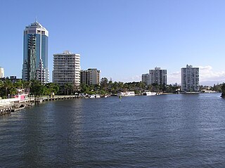
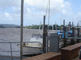 Johnstone River at Innisfail, 2006 | |
 Location of Johnstone River river mouth in Queensland | |
| Etymology | Robert Johnstone, a colonial Native Police officer |
| Location | |
| Country | Australia |
| State | Queensland |
| Region | Far North Queensland, North Queensland |
| City | Innisfail |
| Physical characteristics | |
| Source | Atherton Tableland |
| 2nd source | North Johnstone River |
| • location | Merivale |
| • coordinates | 17°25′24″S145°31′25″E / 17.42333°S 145.52361°E |
| • elevation | 760 m (2,490 ft) |
| 3rd source | South Johnstone River |
| • location | below Mount Father Clancy |
| • coordinates | 17°35′37″S145°36′32″E / 17.59361°S 145.60889°E |
| • elevation | 755 m (2,477 ft) |
| Source confluence | South Johnstone River and North Johnstone River |
| • location | Innisfail |
| • coordinates | 17°31′25″S146°02′1″E / 17.52361°S 146.03361°E |
| • elevation | 1 m (3 ft 3 in) |
| Mouth | Coral Sea |
• location | between Flying Fish Point and Coquette Point |
• coordinates | 17°30′39″S146°04′36″E / 17.51083°S 146.07667°E |
• elevation | 0 m (0 ft) |
| Length | 200 km (120 mi) |
| Basin size | 1,642.5 km2 (634.2 sq mi) [1] |
| Discharge | |
| • location | Near mouth |
| • average | 95.6 m3/s (3,020 GL/a) [1] |
| Basin features | |
| Tributaries | |
| • left | North Beatrice River, Ithaca River |
| • right | Downey Creek |
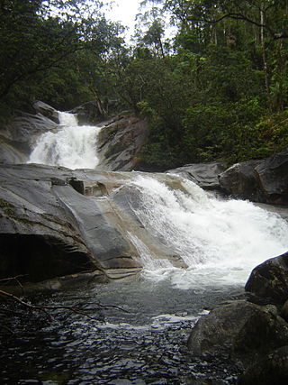
| Waterfalls | Malanda Falls, Jones Falls, Binda Falls |
| National parks | Ella Bay, Eubenangee Swamp, Herberton Range, Japoon, Malaan, Moresby Range, Palmerston Rocks, Topaz Road, Tully Falls, Tully Gorge and Wooroonooran |
| [2] [3] [4] [5] | |
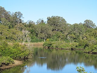
The Johnstone River, comprising the North Johnstone River and the South Johnstone River, is a river system in Far North and North Queensland, Australia.
Contents
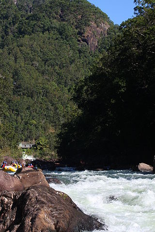
The headwaters of the river system rise in the Atherton Tablelands. The north branch of the river system rises below Merivale, flows over the Malanda Falls and through the town of Malanda and then flows generally south by east, around Francis Range and over the Jones Falls, before flowing east, covering a distance of 114 kilometres (71 mi). The south branch of the river system rises below Mount Father Clancy, southwest of Mungalli, and generally flows east over Binda Falls, through the settlement of South Johnstone, before flowing north, covering a distance of 88 kilometres (55 mi). The two rivers reach their confluence to form the Johnstone River east of the town of Innisfail, and just 5 kilometres (3.1 mi) west of the river mouth. The main river then flows east, north of the Moresby Range National Park, and empties into the Coral Sea.
Together, the combined rivers flow over 200 kilometres (120 mi) from source to mouth and descend approximately 760 metres (2,490 ft), [2] [3] [4] with a catchment area of 2,320 square kilometres (900 sq mi). [6] Crocodiles swim and live in all areas in the Johnstone River and swimming is not recommended in any part of the river.