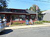
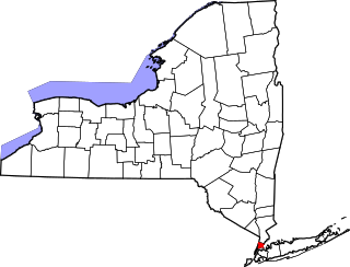
This list is intended to provide a comprehensive listing of entries on the National Register of Historic Places in Town of Southold, New York. The locations of National Register properties for which the latitude and longitude coordinates are included below, may be seen in an online map. [1]

National Register of Historic Places listings in Albany County, New York exclusive of the City of Albany: This is intended to be a complete list of properties and districts listed on the National Register of Historic Places in Albany County, New York, besides those in the City of Albany, itself.

This is intended to be a complete list of properties and districts listed on the National Register of Historic Places in Allegany County, New York. The locations of National Register properties and districts for which the latitude and longitude coordinates are included below, may be seen in a map.
List of Registered Historic Places in Bronx County, New York :

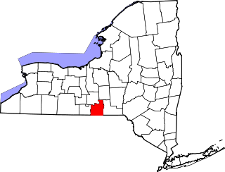
This is a list of the properties on the National Register of Historic Places in Broome County, New York, taken from the National Register of Historic Places for Broome County.

This is intended to be a complete list of properties and districts listed on the National Register of Historic Places in Cattaraugus County, New York. The locations of National Register properties and districts for which the latitude and longitude coordinates are included below, may be seen in a map.
The following is a list of the National Register of Historic Places listings located in Cayuga County, New York:

List of the National Register of Historic Places listings in Chenango County, New York
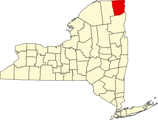
List of the National Register of Historic Places listings in Clinton County, New York

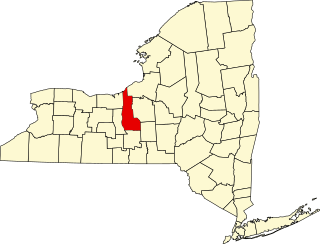
This is intended to be a complete list of properties and districts listed on the National Register of Historic Places in Columbia County, New York. Seven properties and districts are further designated National Historic Landmarks.

List of the National Register of Historic Places listings in Greene County, New York

List of the National Register of Historic Places listings in Montgomery County, New York

This is a list of the properties and districts listed on the National Register of Historic Places listings in Onondaga County, New York. The locations of National Register properties and districts may be seen in a map by clicking on "Map of all coordinates". There are 164 properties and districts listed on the National Register in the county. Of those, 55 are outside the city of Syracuse, and are listed here, while the rest are covered in National Register of Historic Places listings in Syracuse, New York. One property, the New York State Barge Canal, spans both the city and the remainder of the county.

List of the National Register of Historic Places listings in Schuyler County, New York
List of the National Register of Historic Places listings in Tioga County, New York
This is intended to be a complete list of properties and districts listed on the National Register of Historic Places on Manhattan Island, the primary portion of the New York City borough of Manhattan, from 14th to 59th Streets. For properties and districts in other parts of Manhattan, whether on Manhattan Island, other islands within the borough, or the neighborhood of Marble Hill on the North American mainland, see National Register of Historic Places listings in Manhattan. The locations of National Register properties and districts may be seen in an online map by clicking on "Map of all coordinates".
This list is intended to provide a comprehensive listing of entries in the National Register of Historic Places in the Town of East Hampton, New York. The locations of National Register properties for which the latitude and longitude coordinates are included below, may be seen in an online map.
This list is intended to provide a comprehensive listing of entries in the National Register of Historic Places in the Town of Southampton, New York. The locations of National Register properties for which the latitude and longitude coordinates are included below, may be seen in an online map.
This list is intended to provide a comprehensive listing of entries on the National Register of Historic Places in the Town of Huntington, New York. The locations of National Register properties for which the latitude and longitude coordinates are included below, may be seen in an online map.
This is a List of the National Register of Historic Places listings on Shelter, New York
This list is intended to provide a comprehensive listing of entries in the National Register of Historic Places in the Town of Riverhead, New York. The locations of National Register properties for which the latitude and longitude coordinates are included below, may be seen in a Google map.