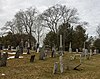
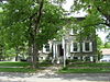
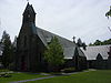
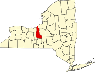
This is intended to be a complete list of properties and districts listed on the National Register of Historic Places in Chenango County, New York. The locations of National Register properties and districts for which the latitude and longitude coordinates are included below, may be seen in a map.[1]
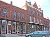
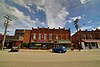
1916 warehouse known locally as the Unguentine Building, for the ghost sign promoting the surgical antiseptic what is now Norwich Pharma Services introduced in 1893
National Register of Historic Places listings in Albany County, New York exclusive of the City of Albany: This is intended to be a complete list of properties and districts listed on the National Register of Historic Places in Albany County, New York, besides those in the City of Albany, itself.
This is intended to be a complete list of properties and districts listed on the National Register of Historic Places in Allegany County, New York. The locations of National Register properties and districts for which the latitude and longitude coordinates are included below, may be seen in a map.
List of Registered Historic Places in Bronx County, New York :
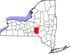
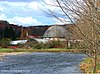
This is a list of the properties on the National Register of Historic Places in Broome County, New York, taken from the National Register of Historic Places for Broome County.
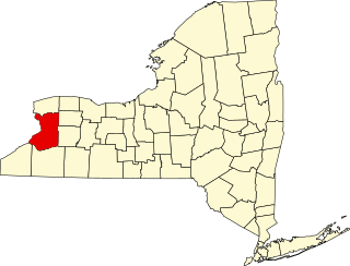
This is intended to be a complete list of properties and districts listed on the National Register of Historic Places in Cattaraugus County, New York. The locations of National Register properties and districts for which the latitude and longitude coordinates are included below, may be seen in a map.
The following is a list of the National Register of Historic Places listings located in Cayuga County, New York:
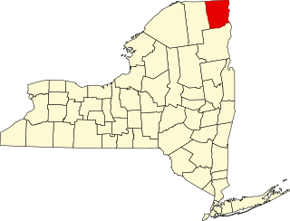
List of the National Register of Historic Places listings in Clinton County, New York
This is intended to be a complete list of properties and districts listed on the National Register of Historic Places in Columbia County, New York. Seven properties and districts are further designated National Historic Landmarks.
This is a list of the National Register of Historic Places listings in Erie County, New York.
List of the National Register of Historic Places listings in Montgomery County, New York
This is a list of the properties and districts listed on the National Register of Historic Places listings in Onondaga County, New York. The locations of National Register properties and districts may be seen in a map by clicking on "Map of all coordinates". There are 170 properties and districts listed on the National Register in the county. Of those, 55 are outside the city of Syracuse, and are listed here, while the rest are covered in National Register of Historic Places listings in Syracuse, New York. One property, the New York State Barge Canal, spans both the city and the remainder of the county.
List of the National Register of Historic Places listings in Orange County, New York
List of the National Register of Historic Places listings in Rockland County, New York
List of the National Register of Historic Places listings in Schenectady County, New York
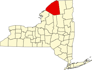
List of the National Register of Historic Places listings in St. Lawrence County, New York
List of the National Register of Historic Places listings in Wayne County, New York
List of Registered Historic Places in Warren County, New York
This is a list of the National Register of Historic Places listings in York County, Pennsylvania.
This is a list of the National Register of Historic Places listings in Dauphin County, Pennsylvania.
This is a list of the National Register of Historic Places listings in Niagara Falls, New York.
References
↑ The latitude and longitude information provided is primarily from the National Register Information System, and has been found to be fairly accurate for about 99% of listings. For 1%, the location info may be way off. We seek to correct the coordinate information wherever it is found to be erroneous. Please leave a note in the Discussion page for this article if you believe any specific location is incorrect.
↑ Numbers represent an alphabetical ordering by significant words. Various colorings, defined here, differentiate National Historic Landmarks and historic districts from other NRHP buildings, structures, sites or objects.
↑ The eight-digit number below each date is the number assigned to each location in the National Register Information System database, which can be viewed by clicking the number.
↑ Address based on USPS website. Accessed March 29, 2016.
This page is based on this Wikipedia article Text is available under the CC BY-SA 4.0 license; additional terms may apply. Images, videos and audio are available under their respective licenses.