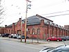
This is intended to be a complete list of properties and districts listed on the National Register of Historic Places in Cattaraugus County, New York. The locations of National Register properties and districts for which the latitude and longitude coordinates are included below, may be seen in a map.[1]
This is intended to be a complete list of properties and districts listed on the National Register of Historic Places in Allegany County, New York. The locations of National Register properties and districts for which the latitude and longitude coordinates are included below, may be seen in a map.
List of Registered Historic Places in Bronx County, New York :
The following is a list of the National Register of Historic Places listings located in Cayuga County, New York:
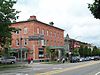
This is a list of the National Register of Historic Places listings in Chautauqua County, New York.
List of the National Register of Historic Places listings in Chemung County, New York
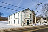
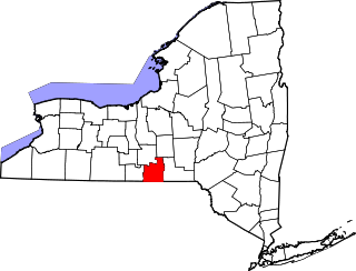
List of the National Register of Historic Places listings in Cortland County, New York:
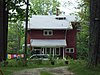
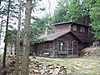
List of the National Register of Historic Places listings in Fulton County, New York
List of the National Register of Historic Places listings in Hamilton County, New York
List of the National Register of Historic Places listings in Lewis County, New York
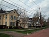
List of the National Register of Historic Places listings in Montgomery County, New York
List of the National Register of Historic Places listings in Ontario County, New York
List of the National Register of Historic Places listings in Oswego County, New York
List of the National Register of Historic Places listings in Putnam County, New York
List of the National Register of Historic Places listings in Schuyler County, New York
List of Registered Historic Places in Seneca County, New York
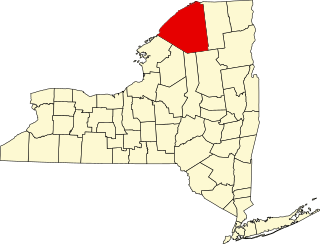
List of the National Register of Historic Places listings in St. Lawrence County, New York
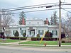
List of the National Register of Historic Places listings in Steuben County, New York
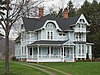
List of the National Register of Historic Places listings in Washington County, New York
List of the National Register of Historic Places listings in Tioga County, New York
This is intended to be a complete list of historic properties and districts listed on the National Register of Historic Places located on islands other than Manhattan Island but still in New York County, New York. For all properties and districts in the borough of Manhattan, see National Register of Historic Places listings in New York County, New York. The locations of National Register properties and districts may be seen in an online map by clicking on "Map of all coordinates".
References
↑ The latitude and longitude information provided in this table was derived originally from the National Register Information System, which has been found to be fairly accurate for about 99% of listings. Some locations in this table may have been corrected to current GPS standards.
↑ Numbers represent an alphabetical ordering by significant words. Various colorings, defined here, differentiate National Historic Landmarks and historic districts from other NRHP buildings, structures, sites or objects.
↑ The eight-digit number below each date is the number assigned to each location in the National Register Information System database, which can be viewed by clicking the number.
This page is based on this Wikipedia article Text is available under the CC BY-SA 4.0 license; additional terms may apply. Images, videos and audio are available under their respective licenses.