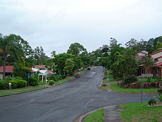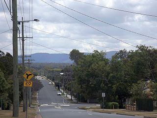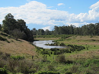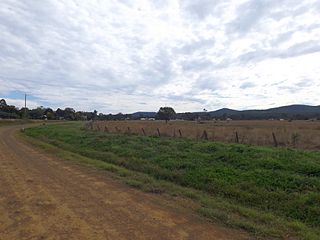
Kenmore Hills is a suburb of the City of Brisbane, Queensland, Australia approximately 10 kilometres (6.2 mi) south-west of the CBD. At the 2016 Australian Census, the suburb recorded a population of 2,402.
Lake Manchester is both a lake in the City of Brisbane and the surrounding locality which is split between the City of Brisbane and Somerset Region in Queensland, Australia. It is 30 kilometres (19 mi) west of the CBD. At the 2016 Australian Census, the locality had a population of 23.
Moores Pocket is a suburb of Ipswich, Queensland, Australia. At the 2016 Australian Census, the suburb recorded a population of 736.

Bundamba is a large suburb of City of Ipswich, Queensland, Australia. At the 2016 Australian Census the suburb recorded a population of 6,514.

North Booval is a suburb of Ipswich, Queensland, Australia. At the 2016 Australian Census, the suburb recorded a population of 3,175. North Booval is largely defined by the courses of the Bremer River and Bundamba Creek between which it lies; and the Main Line railway.

Raceview is a suburb in the City of Ipswich, Queensland, Australia. At the 2016 Australian Census the suburb recorded a population of 9,721.

Dinmore is a suburb of the City of Ipswich, Queensland, Australia. In the 2016 census, Dinmore had a population of 875 people. According to the 2016 Australian Census the Dinmore unemployment rate was 16.7%, in comparison to the Australian unemployment rate of 6.9%.

Churchill is a suburb of Ipswich, Queensland, Australia. At the 2016 Australian Census, the suburb recorded a population of 1,860.

Riverview is a suburb of the City of Ipswich, Queensland, Australia. At the 2016 Australian Census, the suburb recorded a population of 3,073. At the 2016 Australian Census Riverview had an unemployment rate of 15.7%, compared to the Australian unemployment rate of 6.9%.

Woodend is an inner-city suburb in the City of Ipswich, Queensland, Australia. The population of Woodend at 2016 was 1302 people.
Barellan Point is a suburb of Ipswich in the City of Ipswich, Queensland, Australia.

Karalee is a suburb in the City of Ipswich, Queensland, Australia. In the 2016 census, Karalee had a population of 4352 people.
Gailes is a suburb in the City of Ipswich, Queensland, Australia.

Augustine Heights is a suburb of the City of Ipswich, Queensland, Australia.

Haigslea is a locality split between the Somerset Region and the City of Ipswich in South East Queensland, Australia.
Elimbah is a town and locality in Moreton Bay Region, Queensland, Australia. It is located north of the larger centre of Caboolture, and south of Beerburrum. In the 2016 census, the suburb recorded a population of 3,963 persons.
Ripley is a suburb in the City of Ipswich, Queensland, Australia. At the 2016 Australian Census the suburb recorded a population of 1,405.
Booroobin is a locality split between the Moreton Bay Region and the Sunshine Coast Region in Queensland, Australia. At the 2016 Australian Census, Booroobin recorded a population of 260.

Avoca is a suburb of Bundaberg in the Bundaberg Region, Queensland, Australia. In the 2016 census, Avoca had a population of 4,904 people.

Calvert is a town and locality in the City of Ipswich, Queensland, Australia. At the 2016 census the locality recorded a population of 313.


