
Auchenflower is an inner western riverside suburb of the City of Brisbane, Queensland, Australia. In the 2021 census, Auchenflower had a population of 6,053 people.

Chuwar is a town and suburb of Ipswich in the City of Ipswich and a locality of the City of Brisbane in South East Queensland, Australia. In the 2021 census, the suburb of Chuwar had a population of 2,178 people.

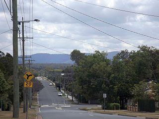
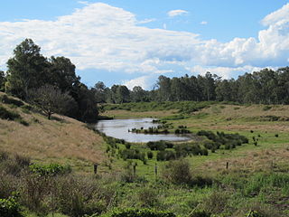
Pine Mountain is a semi-rural locality in the City of Ipswich, Queensland, Australia. In the 2021 census, Pine Mountain had a population of 1,695 people.

North Ipswich is a suburb of Ipswich in the City of Ipswich, Queensland, Australia. In the 2021 census, North Ipswich had a population of 4,527 people.

Basin Pocket is a suburb of Ipswich in the City of Ipswich, Queensland, Australia. In the 2021 census, Basin Pocket had a population of 931 people.

Bundamba is a suburb of Ipswich in the City of Ipswich, Queensland, Australia. In the 2021 census, Bundamba had a population of 6,542 people.
North Booval is a suburb of Ipswich in the City of Ipswich, Queensland, Australia. In the 2021 census, North Booval had a population of 3,041 people.

East Ipswich is a residential inner-city suburb of Ipswich in the City of Ipswich, Queensland, Australia. In the 2021 census, East Ipswich had a population of 2,321 people.

Eastern Heights is a suburb of Ipswich in the City of Ipswich, Queensland, Australia. In the 2021 census, Eastern Heights had a population of 3,631 people.

Booval is a suburb of Ipswich in the City of Ipswich, Queensland, Australia. In the 2021 census, Booval had a population of 2,723 people.

Silkstone is a suburb in the City of Ipswich, Queensland, Australia. In the 2021 census, Silkstone had a population of 3,830 people.

Blackstone is a suburb of Ipswich in the City of Ipswich, Queensland, Australia. In the 2021 census, Blackstone had a population of 1,144 people.

Dinmore is a suburb of Ipswich in the City of Ipswich, Queensland, Australia. In the 2021 census, Dinmore had a population of 1,109 people.
Riverview is a suburb of Ipswich in the City of Ipswich, Queensland, Australia. In the 2021 census, Riverview had a population of 3,067 people.

Sadliers Crossing is a suburb of Ipswich in the City of Ipswich, Queensland, Australia. In the 2021 census, Sadliers Crossing had a population of 1,358 people.

Wulkuraka is a western suburb of Ipswich in the City of Ipswich, Queensland, Australia. In the 2021 census, Wulkuraka had a population of 1,325 people.

Redbank is a suburb in the City of Ipswich, Queensland, Australia. In the 2021 census, Redbank had a population of 2,931 people.

Gailes is a suburb of Ipswich in the City of Ipswich, Queensland, Australia. In the 2021 census, Gailes had a population of 1,831 people.

Ipswich Central is the central suburb of Ipswich in the City of Ipswich, Queensland, Australia. In the 2021 census, Ipswich had a population of 2,468 people.

South Ripley is a rural locality and suburb of Ipswich in the City of Ipswich, Queensland, Australia. South Ripley is part of the Ecco Ripley urban development area. In the 2021 census, South Ripley had a population of 4,069 people.


