
Oxley is a south-western suburb in the City of Brisbane, Queensland, Australia. In the 2021 census, Oxley had a population of 9,100 people.

Taringa is a suburb in the City of Brisbane, Queensland, Australia. In the 2021 census, Taringa had a population of 8,732 people.

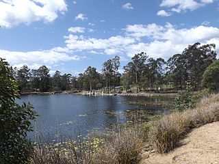
Middle Park is a residential south-western suburb in the Centenary Suburbs in the City of Brisbane, Queensland, Australia. In the 2021 census, Middle Park had a population of 3,845 people.
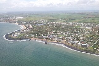
Bargara is a coastal town and suburb in the Bundaberg Region, Queensland, Australia. In the 2021 census, the suburb of Bargara had a population of 8,883 people.

Springfield is a suburb in the City of Ipswich, Queensland, Australia. In the 2021 census, Springfield had a population of 7,322 people.

Wacol is a suburb in the City of Brisbane, Queensland, Australia. In the 2021 census, Wacol had a population of 4,253 people.

Karana Downs is a residential locality in the City of Brisbane, Queensland, Australia. In the 2021 census, Karana Downs had a population of 3,800 people.
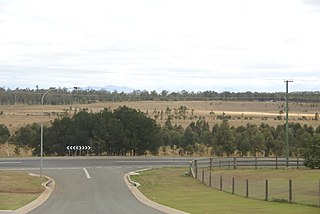
Ellen Grove is an outer south-western suburb in the City of Brisbane, Queensland, Australia. In the 2021 census, Ellen Grove had a population of 3,586 people.

Pullenvale is a rural residential suburb in the City of Brisbane, Queensland, Australia. In the 2021 census, Pullenvale had a population of 3,276 people.

Bundamba is a suburb of Ipswich in the City of Ipswich, Queensland, Australia. In the 2021 census, Bundamba had a population of 6,542 people.

Sadliers Crossing is a suburb of Ipswich in the City of Ipswich, Queensland, Australia. In the 2021 census, Sadliers Crossing had a population of 1,358 people.

Wulkuraka is a western suburb of Ipswich in the City of Ipswich, Queensland, Australia. In the 2021 census, Wulkuraka had a population of 1,325 people.

Gailes is a suburb of Ipswich in the City of Ipswich, Queensland, Australia. In the 2021 census, Gailes had a population of 1,831 people.
Springfield Lakes is a suburb in the City of Ipswich, Queensland, Australia. It is one of the suburbs created within Greater Springfield. In the 2021 census, Springfield Lakes had a population of 17,211 people.
Walloon is a town and rural residential locality in the City of Ipswich, Queensland, Australia. In the 2021 census, the locality of Walloon had a population of 2,305 people.

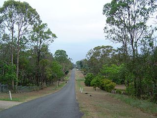
Haigslea is a locality split between the City of Ipswich and the Somerset Region in South East Queensland, Australia. In the 2021 census, Haigslea had a population of 507 people.
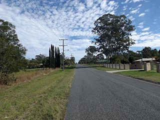
Willowbank is a rural locality in the City of Ipswich, Queensland, Australia. In the 2021 census, Willowbank had a population of 1,351 people.

Ipswich Central is the central suburb of Ipswich in the City of Ipswich, Queensland, Australia. In the 2021 census, Ipswich had a population of 2,468 people.

Purga is a rural locality in the City of Ipswich, Queensland, Australia. In the 2021 census, Purga had a population of 561 people.

Springfield Central is a suburb in the City of Ipswich, Queensland, Australia. In the 2021 census, Springfield Central had a population of 234 people. It is the designated business district of Greater Springfield.


