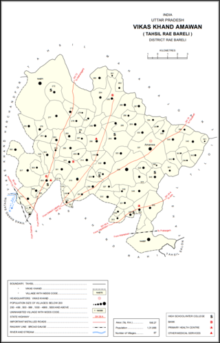
Baldupur is a village in Harchandpur block of Rae Bareli district, Uttar Pradesh, India. As of 2011, its population is 607, in 108 households. It has one primary school and no healthcare facilities.

Seri is a village in Harchandpur block of Rae Bareli district, Uttar Pradesh, India. As of 2011, its population is 1,948, in 382 households. It has 3 primary schools and no healthcare facilities.

Datauli is a village in Harchandpur block of Rae Bareli district, Uttar Pradesh, India. As of 2011, its population is 1,980, in 357 households. It has one primary school and no healthcare facilities.

Pasi Tusi is a village in Harchandpur block of Rae Bareli district, Uttar Pradesh, India. As of 2011, its population is 645, in 125 households. It has no schools and no healthcare facilities.

Aghaura is a village in Harchandpur block of Rae Bareli district, Uttar Pradesh, India. As of 2011, its population is 1,836, in 347 households. It has one primary school and no healthcare facilities.

Tanda is a village in Harchandpur block of Rae Bareli district, Uttar Pradesh, India. It is located 5 km from Raebareli, the district headquarters. As of 2011, its population is 1,559, in 312 households. It has one primary school and no healthcare facilities.

Lohanipur is a village in Harchandpur block of Rae Bareli district, Uttar Pradesh, India. It is located 4 km from Raebareli, the district headquarters. As of 2011, its population is 2,378, in 433 households.

Paltu Tanda is a village in Harchandpur block of Rae Bareli district, Uttar Pradesh, India. It is located 2 km from Raebareli, the district headquarters. As of 2011, its population is 414, in 80 households. It has no schools and no healthcare facilities.

Didauli is a village in Amawan block of Rae Bareli district, Uttar Pradesh, India. It is located 8 km from Raebareli, the district headquarters. As of 2011, its population is 1,709, in 329 households. It has one primary school and no healthcare facilities.

Chaupura is a village in Amawan block of Rae Bareli district, Uttar Pradesh, India. It is located 13 km from Raebareli, the district headquarters. As of 2011, its population is 1,107, in 203 households. It has one primary school and no healthcare facilities.

Rampur is a village in Amawan block of Rae Bareli district, Uttar Pradesh, India. It is located 7 km from Raebareli, the district headquarters. As of 2011, its population is 22, in 5 households. It has no schools and no healthcare facilities.

Jamalpur Karaundi is a village in Amawan block of Rae Bareli district, Uttar Pradesh, India. It is located 11 km from Raebareli, the district headquarters. As of 2011, its population is 630, in 125 households.

Rasehta is a village in Amawan block of Rae Bareli district, Uttar Pradesh, India. It is located 14 km from Raebareli, the district headquarters. As of 2011, its population is 2,756, in 491 households. It has one primary school and no healthcare facilities.

Garhi Dularai is a village located in Sataon block of Rae Bareli district, Uttar Pradesh, India. It is located 24 km from Raebareli, the district headquarters. As of 2011, its population is 1,300, in 232 households. It has one primary school and no healthcare facilities.

Narauka is a village in the Sataon block of Rae Bareli district, Uttar Pradesh, India. It is located 15 km from Raebareli, the district headquarters. As of 2011, its population is 900, living in 163 households. It has one primary school and no healthcare facilities.

Kasehti is a village in Rahi block of Rae Bareli district, Uttar Pradesh, India. It is located 8 km from Rae Bareli, the district headquarters. As of 2011, it has a population of 1,400 people, in 271 households. It has one primary school and no healthcare facilities.

Tala Gopalpur is a village in Rahi block of Rae Bareli district, Uttar Pradesh, India. It is located 9 km from Rae Bareli, the district headquarters. As of 2011, it has a population of 1,902 people, in 347 households. It has one primary school and no healthcare facilities.

Sarai Muhammad Sharif is a village in Rahi block of Rae Bareli district, Uttar Pradesh, India. It is located 9 km from Rae Bareli, the district headquarters. As of 2011, it has a population of 1,400 people, in 271 households. It has one primary school and no healthcare facilities.

Lakhai Khera is a village in Sareni block of Rae Bareli district, Uttar Pradesh, India. It is located 22 km from Lalganj, the tehsil headquarters. As of 2011, it has a population of 327 people, in 48 households. It has no schools and no healthcare facilities.

Kashipur is a village in Dalmau block of Rae Bareli district, Uttar Pradesh, India. It is located 9 km from Dalmau, the block headquarters. As of 2011, it has a population of 618 people, in 102 households. It has no schools and no healthcare facilities.


