Kandaura is a village in Harchandpur block of Raebareli district, Uttar Pradesh, India. As of 2011, its population is 4,494, in 832 households. It has two primary schools and no healthcare facilities.

Harni is a village in Harchandpur block of Rae Bareli district, Uttar Pradesh, India. As of 2011, its population is 759, in 140 households. It has one primary school and no healthcare facilities.

Kathwara is a village in Harchandpur block of Rae Bareli district, Uttar Pradesh, India. It is located 13km from Raebareli, the district headquarters, on the road to Lucknow, and on the left bank of the Baita river not far from its confluence with the Sai. The railway passes by Kathwara, and the closest station is at Harchandpur. As of 2011, the population of Kathwara is 5,115, in 921 households. It has two primary schools and no healthcare facilities.

Mubarakpur is a village in Harchandpur block of Rae Bareli district, Uttar Pradesh, India. It is located 5 km from Raebareli, the district headquarters. As of 2011, its population is 1,326, in 260 households. It has one primary school and no healthcare facilities.

Tanda is a village in Harchandpur block of Rae Bareli district, Uttar Pradesh, India. It is located 5 km from Raebareli, the district headquarters. As of 2011, its population is 1,559, in 312 households. It has one primary school and no healthcare facilities.

Ghunsari is a village in Harchandpur block of Rae Bareli district, Uttar Pradesh, India. It is located 22 km from Raebareli, the district headquarters. As of 2011, its population is 321, in 74 households. It has one primary school and no healthcare facilities.

Lohanipur is a village in Harchandpur block of Rae Bareli district, Uttar Pradesh, India. It is located 4 km from Raebareli, the district headquarters. As of 2011, its population is 2,378, in 433 households.

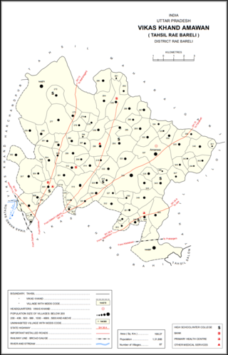
Didauli is a village in Amawan block of Rae Bareli district, Uttar Pradesh, India. It is located 8 km from Raebareli, the district headquarters. As of 2011, its population is 1,709, in 329 households. It has one primary school and no healthcare facilities.

Rampur is a village in Amawan block of Rae Bareli district, Uttar Pradesh, India. It is located 7 km from Raebareli, the district headquarters. As of 2011, its population is 22, in 5 households. It has no schools and no healthcare facilities.

Gokulpur is a village in Amawan block of Rae Bareli district, Uttar Pradesh, India. As of 2011, its population is 228, in 41 households. It has no schools and no healthcare facilities.

Kachauna Nankari is a village in Amawan block of Rae Bareli district, Uttar Pradesh, India. It is located 10 km from Raebareli, the district headquarters. As of 2011, its population is 1,485, in 271 households. It has one primary school and no healthcare facilities.

Kondras Khurd is a village in Amawan block of Rae Bareli district, Uttar Pradesh, India. It is located 5 km from Raebareli, the district headquarters. As of 2011, its population is 296, in 61 households.

Rasulpur is a village in Amawan block of Rae Bareli district, Uttar Pradesh, India. It is located 29 km from Raebareli, the district headquarters. As of 2011, its population is 514, in 94 households.

Garhi Dularai is a village located in Sataon block of Rae Bareli district, Uttar Pradesh, India. It is located 24 km from Raebareli, the district headquarters. As of 2011, its population is 1,300, in 232 households. It has one primary school and no healthcare facilities.

Alipur Aima is a village in Sataon block of Rae Bareli district, Uttar Pradesh, India. It is located 12 km from Raebareli, the district headquarters. As of 2011, its population is 567, in 106 households. It has one primary school and no healthcare facilities.

Nakphulha is a village in Sataon block of Rae Bareli district, Uttar Pradesh, India. It is located 8 km from Raebareli, the district headquarters. As of 2011, its population is 2,517, in 467 households. It has one primary school and no healthcare facilities.

Kilauli is a village in Sataon block of Rae Bareli district, Uttar Pradesh, India. It is located 8 km from Raebareli, the district headquarters. As of 2011, its population is 5,188, in 1,045 households. It has 6 primary schools and no healthcare facilities.

Narauka is a village in the Sataon block of Rae Bareli district, Uttar Pradesh, India. It is located 15 km from Raebareli, the district headquarters. As of 2011, its population is 900, living in 163 households. It has one primary school and no healthcare facilities.

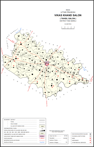
Chak Neknampur is a village in Salon block of Rae Bareli district, Uttar Pradesh, India. It is located 34 km from Raebareli, the district headquarters. As of 2011, Chak Neknampur has a population of 442 people, in 75 households. It has one primary school and no healthcare facilities.

Dandanpur is a village in Khiron block of Rae Bareli district, Uttar Pradesh, India. It is located 20 km from Lalganj, the tehsil headquarters. As of 2011, it has a population of 537 people, in 109 households. It has 1 primary school and no healthcare facilities and it does not host a weekly haat or permanent market. It belongs to the nyaya panchayat of Atarhar.


