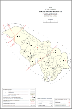
Kandrawan is a village in Unchahar block of Raebareli district, Uttar Pradesh, India. It is located on the road from Salon to Khaga, near the banks of the Ganges. Nearby there is a ferry crossing the Ganges over to Naubasta in Fatehpur district. As of 2011, Kandrawan has a population of 10,283 people, in 1,901 households. It is 3 km from Unchahar.

Mainahar Katra is a village in Bachhrawan block of Rae Bareli district, Uttar Pradesh, India. As of 2011, its population is 2,197, in 382 households. It historically formed a taluqdar estate.

Saidpur Behta is a village in Bachhrawan block of Rae Bareli district, Uttar Pradesh, India. As of 2011, its population is 612, in 118 households. It historically belonged to the taluqdars of Tirbediganj.

Bahadurnagar is a village in Bachhrawan block of Rae Bareli district, Uttar Pradesh, India. Located 8 km from Bachhrawan, the block headquarters, Bahadurnagar hosts a market on Mondays and Thursdays. It was historically one of the main villages in the Bachhrawan pargana. As of 2011, Bahadurnagar's population is 4,508, in 964 households.

Kathwara is a village in Harchandpur block of Rae Bareli district, Uttar Pradesh, India. It is located 13 km from Raebareli, the district headquarters, on the road to Lucknow, and on the left bank of the Baita river not far from its confluence with the Sai. The railway passes by Kathwara, and the closest station is at Harchandpur. As of 2011, the population of Kathwara is 5,115, in 921 households. It has two primary schools and no healthcare facilities.
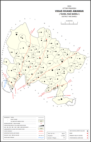
Kondras Buzurg is a village in Amawan block of Rae Bareli district, Uttar Pradesh, India. It is located 9 km from Raebareli, the district headquarters. As of 2011, its population is 3,143, in 581 households. It has two primary schools and no healthcare facilities.

Kilauli is a village in Sataon block of Rae Bareli district, Uttar Pradesh, India. It is located 8 km from Raebareli, the district headquarters. As of 2011, its population is 5,188, in 1,045 households. It has 6 primary schools and no healthcare facilities.

Rahi is a village and corresponding community development block in Rae Bareli district, Uttar Pradesh, India. It is located 7 km from Rae Bareli, the district headquarters, which according to one folk etymology is named after the village. Rahi was formerly the seat of a pargana before Rae Bareli replaced it in that capacity. As of 2011, Rahi has a population of 7,536 people, in 1,373 households. It has one primary school and one medical clinic.

Bawan Buzurg Balla is a village in Amawan block of Rae Bareli district, Uttar Pradesh, India. It is located near Maharajganj, south of the road to Bachhrawan and west of the road to Rae Bareli. It is the largest village in the district by area. As of 2011, its population is 11,754 people, in 2,154 households.

Lodhwari is a village in Rahi block of Rae Bareli district, Uttar Pradesh, India. It is located 12 km from Rae Bareli, the district headquarters, on the left bank of the Sai river. The road to Parshadepur runs through the northeastern part of the village lands. As of 2011, Lodhwari has a population of 10,592 people, in 2,019 households.

Tonk is a village in Dalmau block of Rae Bareli district, Uttar Pradesh, India. It is located 10 km from Dalmau, the block headquarters. As of 2011, it has a population of 642 people, in 120 households. It has no schools and no healthcare facilities.

Gaura Hardo, or just Gaura, is a village in Rae Bareli district, Uttar Pradesh, India. It serves as the headquarters of Deenshah Gaura block, in the tehsil of Dalmau. It is located 33 km from Raebareli, the district headquarters, on the road from Dalmau to Salon. As of 2011, Gaura Hardo has a population of 8,001 people, in 1,446 households. It has five primary schools and one maternity and child welfare centre.

Jagatpur is a village and corresponding community development block in Unchahar tehsil of Rae Bareli district, Uttar Pradesh, India. It is located 18 km from Raebareli, the district headquarters, on the road to Allahabad at the point where it intersects the road from Dalmau to Salon. There is a large Buddhist-era ruin site at Tanghan to the south. As of 2011, Jagatpur has a population of 7,267 people, in 1,336 households. It has 4 primary schools and 1 healthcare centre.
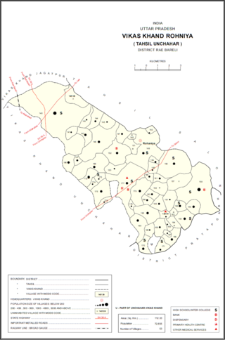
Rasulpur is a village in Rohaniya block of Rae Bareli district, Uttar Pradesh, India. One of the largest villages in the historical pargana of Salon, it is located 48 km from Raebareli, the district headquarters. As of 2011, it has a population of 7,671 people, in 1,379 households. It has one primary school and no healthcare facilities.
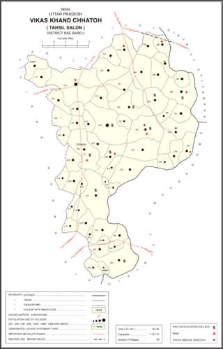
Itraura is a village in Chhatoh block of Rae Bareli district, Uttar Pradesh, India. It is located 47 km from Raebareli, the district headquarters. As of 2011, Itraura has a population of 670 people, in 120 households. It has one primary school and no healthcare facilities. It belongs to the nyaya panchayat of Paraiya Namaksar.
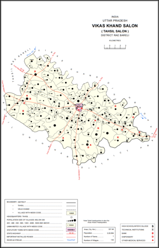
Nain is a village in Salon block of Rae Bareli district, Uttar Pradesh, India. It is located on the south bank of the Sai river, north of the main road from Salon to Raebareli. As of 2011, the village has a population of 2,028 people, in 372 households. It has one primary school and no healthcare facilities.

Bara Dih, also spelled Baradih, is a village in Salon block of Rae Bareli district, Uttar Pradesh, India. It is located 3 km northwest of Salon, the block headquarters, close to the point where the Chob stream joins the Sai river. As of 2011, Bara Dih has a population of 2,248 people, in 386 households.

Nuruddinpur is a village in Salon block of Rae Bareli district, Uttar Pradesh, India. It is located 43 km from Raebareli, the district headquarters. As of 2011, Nuruddinpur has a population of 3,882 people, in 667 households. It has 2 primary schools and no healthcare facilities. It is connected to national highways and hosts a periodic haat but not a permanent market.

Aihari Buzurg is a village in Rohaniya block of Rae Bareli district, Uttar Pradesh, India. It is located 32 km from Raebareli, the district headquarters. As of 2011, it has a population of 1,101 people, in 192 households. It has one primary school and no healthcare facilities, and does not host a permanent market or a weekly haat.

Rokha is a large village in Dih block of Rae Bareli district, Uttar Pradesh, India. Historically the namesake of a pargana, Rokha is a predominantly agricultural village consisting of many hamlets. It is located 28 km from Raebareli, the district headquarters. The large village of Mau also borders Rokha to the north. Rokha is connected by road with Nasirabad and Jais to the northeast and Suchi to the southwest.
