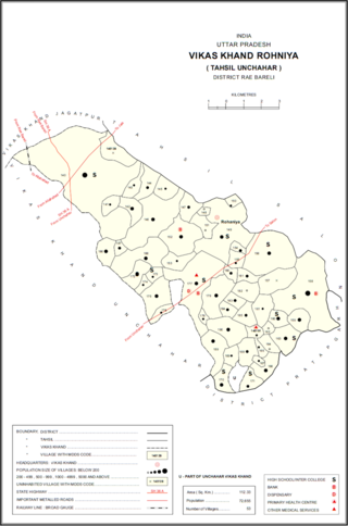
Kandrawan is a village in Unchahar block of Raebareli district, Uttar Pradesh, India. It is located on the road from Salon to Khaga, near the banks of the Ganges. Nearby there is a ferry crossing the Ganges over to Naubasta in Fatehpur district. As of 2011, Kandrawan has a population of 10,283 people, in 1,901 households. It is 3 km from Unchahar.

Rasulpur is a village in Bachhrawan block of Rae Bareli district, Uttar Pradesh, India. As of 2011, its population is 1,907, in 364 households. It is located 3 km from Bachhrawan, the block headquarters, and the main staple foods are wheat and rice.

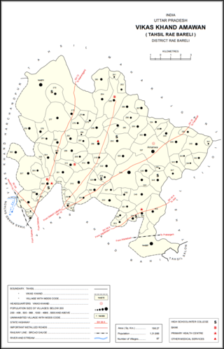
Rasulpur is a village in Amawan block of Rae Bareli district, Uttar Pradesh, India. It is located 29 km from Raebareli, the district headquarters. As of 2011, its population is 514, in 94 households.

Kilauli is a village in Sataon block of Rae Bareli district, Uttar Pradesh, India. It is located 8 km from Raebareli, the district headquarters. As of 2011, its population is 5,188, in 1,045 households. It has 6 primary schools and no healthcare facilities.

Kahinjar is a village in Sareni block of Rae Bareli district, Uttar Pradesh, India. It is located 20 km from Lalganj, the tehsil headquarters. Kahinjar historically served as the headquarters of a mahal since at least the time of Akbar, before being merged into the pargana of Sareni under the Nawabs of Awadh. As of 2011, Kahinjar has a population of 2,099 people, in 354 households. It has one primary school and no healthcare facilities. It belongs to the nyaya panchayat of Rasulpur.

Rasulpur is a village in Sareni block of Rae Bareli district, Uttar Pradesh, India. It is located 19 km from Lalganj, the tehsil headquarters. As of 2011, Rasulpur has a population of 1,343 people, in 257 households. It has two primary schools and no healthcare facilities. Rasulpur serves as the headquarters of a nyaya panchayat which also includes 12 other villages.

Ram Khera is a village in Sareni block of Rae Bareli district, Uttar Pradesh, India. It is located 20 km from Lalganj, the tehsil headquarters. As of 2011, it has a population of 896 people, in 170 households. It has two primary schools and no healthcare facilities. It belongs to the nyaya panchayat of Rasulpur.

Gaura Hardo, or just Gaura, is a village in Rae Bareli district, Uttar Pradesh, India. It serves as the headquarters of Deenshah Gaura block, in the tehsil of Dalmau. It is located 33 km from Raebareli, the district headquarters, on the road from Dalmau to Salon. As of 2011, Gaura Hardo has a population of 8,001 people, in 1,446 households. It has five primary schools and one maternity and child welfare centre.

Matrauli is a village in Unchahar block of Raebareli district, Uttar Pradesh, India. It is located 30 km from Raebareli, the district headquarters. As of 2011, it has a population of 4,105 people, in 779 households.

Chandrai is a village in Unchahar block of Raebareli district, Uttar Pradesh, India. It is located 30 km from Raebareli, the district headquarters. As of 2011, it has a population of 1,455 people, in 300 households. It has one primary school and no healthcare facilities.

Hatwa is a village in Unchahar block of Raebareli district, Uttar Pradesh, India. It is located 36 km from Raebareli, the district headquarters. As of 2011, it has a population of 1,062 people, in 196 households.

Kalyani is a village in Unchahar block of Raebareli district, Uttar Pradesh, India. It is located 44 km from Raebareli, the district headquarters. As of 2011, it has a population of 1,681 people, in 289 households. It has one primary school and no healthcare facilities.

Paindapur is a village in Unchahar block of Raebareli district, Uttar Pradesh, India. It is located 36 km from Raebareli, the district headquarters. As of 2011, it has a population of 593 people, in 114 households.

Itaura Buzurg is a village in Rohaniya block of Rae Bareli district, Uttar Pradesh, India. One of the largest villages in the historical pargana of Salon, it is located 28 km from Raebareli, the district headquarters, near the point where the road to Allahabad intersects the one leading from Fursatganj to the Gukana ghat. As of 2011, Itaura Buzurg has a population of 13,851 people, in 2,469 households. It has 6 primary schools and no healthcare facilities.

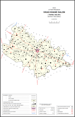
Bara Dih, also spelled Baradih, is a village in Salon block of Rae Bareli district, Uttar Pradesh, India. It is located 3 km northwest of Salon, the block headquarters, close to the point where the Chob stream joins the Sai river. As of 2011, Bara Dih has a population of 2,248 people, in 386 households.

Harkishanpur Tikra is a village in Salon block of Rae Bareli district, Uttar Pradesh, India. It is located 32 km from Raebareli, the district headquarters. As of 2011, Harkishanpur Tikra has a population of 423 people, in 76 households. It has no schools and no healthcare facilities.

Ghurhat is a village in Salon block of Rae Bareli district, Uttar Pradesh, India. It is located 37 km from Raebareli, the district headquarters. As of 2011, Ghurhat has a population of 693 people, in 115 households. It has one primary school and no healthcare facilities.

Kemupur is a village in Salon block of Rae Bareli district, Uttar Pradesh, India. It is located 40 km from Raebareli, the district headquarters. As of 2011, Kemupur has a population of 1,426 people, in 226 households. It has no schools and no healthcare facilities. It has a permanent market and it does not host a periodic haat.

Nuruddinpur is a village in Salon block of Rae Bareli district, Uttar Pradesh, India. It is located 43 km from Raebareli, the district headquarters. As of 2011, Nuruddinpur has a population of 3,882 people, in 667 households. It has 2 primary schools and no healthcare facilities. It is connected to national highways and hosts a periodic haat but not a permanent market.

Ghuranpur is a village in Salon block of Rae Bareli district, Uttar Pradesh, India. It is located 48 km from Raebareli, the district headquarters. As of 2011, Ghuranpur has a population of 694 people, in 123 households. It has 4 primary schools and no healthcare facilities, and it does not host a permanent market or a periodic haat. Agriculturally, the main crops grown here are rice, wheat, and potatoes.


