Mainahar Katra is a village in Bachhrawan block of Rae Bareli district, Uttar Pradesh, India. As of 2011, its population is 2,197, in 382 households. It historically formed a taluqdar estate.

Saidpur Behta is a village in Bachhrawan block of Rae Bareli district, Uttar Pradesh, India. As of 2011, its population is 612, in 118 households. It historically belonged to the taluqdars of Tirbediganj.

Rajamau is a village in Bachhrawan block of Rae Bareli district, Uttar Pradesh, India. As of 2011, its population is 5,044, in 927 households, and it has 5 primary schools and no healthcare facilities. It is located 10 km southwest of Bachhrawan, the block headquarters, and the main staple foods are wheat and rice. Rajamau hosts a Kalreshwar Mahadeo mela on Magha Sudi 5 dedicated to the worship of Shiva; vendors bring sweets, toys, and everyday items to sell at the fair.

Karanpur is a village in Bachhrawan block of Rae Bareli district, Uttar Pradesh, India. Located 23 km from the city of Raebareli, Karanpur was historically one of the main villages in the Bachhrawan pargana. As of 2011, Karanpur's population is 4,171, in 791 households.

Bahadurnagar is a village in Bachhrawan block of Rae Bareli district, Uttar Pradesh, India. Located 8 km from Bachhrawan, the block headquarters, Bahadurnagar hosts a market on Mondays and Thursdays. It was historically one of the main villages in the Bachhrawan pargana. As of 2011, Bahadurnagar's population is 4,508, in 964 households.

Inhauna is a village and corresponding in Singhpur block of Rae Bareli district, Uttar Pradesh, India. As of 2011, its population is 13,049, in 2,021 households. Located at the junction of the Raebareli-Rudauli and Lucknow-Jaunpur roads, Inhauna is an old town that once served as the seat of a pargana as well as (briefly) a tehsil, and it has the ruins of an old fort built under the Nawabs of Awadh. The old marketplace, known as Ratanganj, was built in 1863 by the tahsildar Ratan Narain. Markets are held twice per week, on Mondays and Thursdays, and most of the trade is in livestock.

Panhauna is a village in Singhpur block of Rae Bareli district, Uttar Pradesh, India. As of 2011, its population is 7,075, in 1,307 households. It has one primary school and no healthcare facilities.

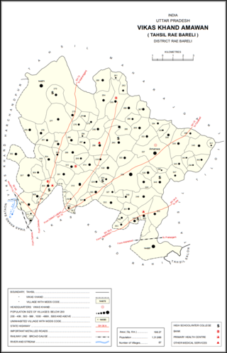
Amawan is a village and corresponding community development block in Rae Bareli district, Uttar Pradesh, India. It historically was the seat of a taluqdari estate held by a Pathan family and eventually split into two shares. As of 2011, its population is 5,245, in 973 households. It has 5 primary schools and no healthcare facilities.

Pahremau is a village in Amawan block of Rae Bareli district, Uttar Pradesh, India. Located 5 km from Maharajganj on the road to Nigohan, it is an old Muslim centre that historically served as the headquarters of a taluqdari estate. As of 2011, its population is 3,165, in 577 households. It has 3 primary schools and no healthcare facilities.

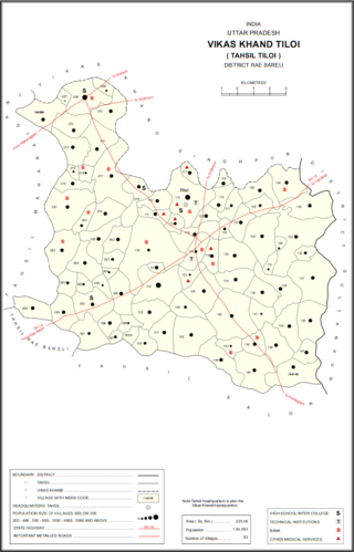
Semrauta is a village in Tiloi block of Rae Bareli district, Uttar Pradesh, India. It is located at the intersection of the Maharajganj-Inhauna and Mohanganj-Haidargarh roads, about 20 km from Maharajganj, the tehsil headquarters. Although now eclipsed by Maharajganj, Semrauta was historically a relatively important village that served as the headquarters of a pargana and the capital of a branch of the Kanhpuria Rajputs, who later became known as the Rajas of Chandapur. As of 2011, the population of Simrauta is 6,423, in 1,031 households.

Hardaspur is a village in Amawan block of Rae Bareli district, Uttar Pradesh, India. As of 2011, its population is 2,974, in 570 households. It has 3 primary schools and one small clinic.

Korihar is a village located in Sataon block of Rae Bareli district, Uttar Pradesh, India. Located 20 km from Raebareli, the district headquarters, Korihar was historically the seat of a taluqdari estate held by a branch of the Bais Rajputs. On the northwest is Sataon, and to the south is the village of Hajipur, which has the ruins of an old Bais fort. As of 2011, the population of Korihar is 12,351, in 2,240 households. It has one primary school and no healthcare facilities. The village hosts markets twice per week, on Mondays and Fridays.

Rahi is a village and corresponding community development block in Rae Bareli district, Uttar Pradesh, India. It is located 7 km from Rae Bareli, the district headquarters, which according to one folk etymology is named after the village. Rahi was formerly the seat of a pargana before Rae Bareli replaced it in that capacity. As of 2011, Rahi has a population of 7,536 people, in 1,373 households. It has one primary school and one medical clinic.

Kahinjar is a village in Sareni block of Rae Bareli district, Uttar Pradesh, India. It is located 20 km from Lalganj, the tehsil headquarters. Kahinjar historically served as the headquarters of a mahal since at least the time of Akbar, before being merged into the pargana of Sareni under the Nawabs of Awadh. As of 2011, Kahinjar has a population of 2,099 people, in 354 households. It has one primary school and no healthcare facilities. It belongs to the nyaya panchayat of Rasulpur.

Bahai is a village in Lalganj block of Rae Bareli district, Uttar Pradesh, India. It is located 8 km from Lalganj, the block and tehsil headquarters, to the east of the road to Dalmau. It is on high ground and is drained by two large streams that merge together further south before joining the Ganges.

Gaura Hardo, or just Gaura, is a village in Rae Bareli district, Uttar Pradesh, India. It serves as the headquarters of Deenshah Gaura block, in the tehsil of Dalmau. It is located 33 km from Raebareli, the district headquarters, on the road from Dalmau to Salon. As of 2011, Gaura Hardo has a population of 8,001 people, in 1,446 households. It has five primary schools and one maternity and child welfare centre.

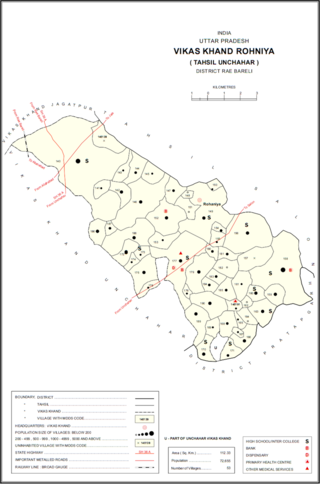
Rasulpur is a village in Rohaniya block of Rae Bareli district, Uttar Pradesh, India. One of the largest villages in the historical pargana of Salon, it is located 48 km from Raebareli, the district headquarters. As of 2011, it has a population of 7,671 people, in 1,379 households. It has one primary school and no healthcare facilities.

Itaura Buzurg is a village in Rohaniya block of Rae Bareli district, Uttar Pradesh, India. One of the largest villages in the historical pargana of Salon, it is located 28 km from Raebareli, the district headquarters, near the point where the road to Allahabad intersects the one leading from Fursatganj to the Gukana ghat. As of 2011, Itaura Buzurg has a population of 13,851 people, in 2,469 households. It has 6 primary schools and no healthcare facilities.

Dih, also spelled Deeh, is a dessert and corresponding community development block in Salon tehsil of Rae Bareli district, Uttar Pradesh, India. It is located 22 km from Raebareli, the district headquarters, near the point where the road to Parshadepur intersects the road leading from Jais to the Gukana ghat. The Sai river flows a short distance to the south. As of 2011, Dih has a population of 12,110 people, in 2,186 households. It has three primary schools and no healthcare facilities, as well as a post office, a library, and an Anganwadi centre. It is the headquarters of a nyaya panchayat, which also includes 8 other villages.

Paho, also spelled Pahu, is a village in Khiron block of Rae Bareli district, Uttar Pradesh, India. It is located near the road from Raebareli to Mauranwan and Unnao, close to the border with Unnao district. It is 18 km away from Lalganj, the tehsil headquarters. As of 2011, Paho has a population of 5,620 people, in 1,088 households. It has two primary schools and no healthcare facilities, and it hosts a weekly haat but not a permanent market. It is the seat of a nyaya panchayat which also includes 7 other villages.


