Unchahar is a town and nagar panchayat in Raebareli district in the Indian state of Uttar Pradesh. It serves as the headquarters of a tehsil as well as a community development block. It is located on Lucknow Allahabad Highway, 115 km from Lucknow, 85 km from Allahabad. The place is well connected by rail and roads to nearby cities of Kanpur, Lucknow, and Allahabad. Unchahar is also a constituency of Uttar Pradesh Legislative assembly.

Bhagipur is a village in Unchahar block of Raebareli district, Uttar Pradesh, India. It is located 34 km from Raebareli, the district headquarters. As of 2011, it has a population of 446 people, in 89 households.

Bahai is a village in Lalganj block of Rae Bareli district, Uttar Pradesh, India. It is located 8 km from Lalganj, the block and tehsil headquarters, to the east of the road to Dalmau. It is on high ground and is drained by two large streams that merge together further south before joining the Ganges.

Gaura Hardo, or just Gaura, is a village in Rae Bareli district, Uttar Pradesh, India. It serves as the headquarters of Deenshah Gaura block, in the tehsil of Dalmau. It is located 33 km from Raebareli, the district headquarters, on the road from Dalmau to Salon. As of 2011, Gaura Hardo has a population of 8,001 people, in 1,446 households. It has five primary schools and one maternity and child welfare centre.

Jagatpur is a village and corresponding community development block in Unchahar tehsil of Rae Bareli district, Uttar Pradesh, India. It is located 18 km from Raebareli, the district headquarters, on the road to Allahabad at the point where it intersects the road from Dalmau to Salon. There is a large Buddhist-era ruin site at Tanghan to the south. As of 2011, Jagatpur has a population of 7,267 people, in 1,336 households. It has 4 primary schools and 1 healthcare centre.

Sudamanpur is a village in Jagatpur block of Rae Bareli district, Uttar Pradesh, India. It is located off the main road, a bit north of the Ganges, and is in low-lying ground broken by ravines. As of 2011, it has a population of 6,986 people, in 1,278 households. It has 3 primary schools and no healthcare facilities.

Matrauli is a village in Unchahar block of Raebareli district, Uttar Pradesh, India. It is located 30 km from Raebareli, the district headquarters. As of 2011, it has a population of 4,105 people, in 779 households.

Newada is a village in Unchahar block of Raebareli district, Uttar Pradesh, India. It is located 29 km from Raebareli, the district headquarters. As of 2011, it has a population of 814 people, in 137 households.

Chandrai is a village in Unchahar block of Raebareli district, Uttar Pradesh, India. It is located 30 km from Raebareli, the district headquarters. As of 2011, it has a population of 1,455 people, in 300 households. It has one primary school and no healthcare facilities.

Khaliqpur Kalan is a village in Unchahar block of Raebareli district, Uttar Pradesh, India. It is located 30 km from Raebareli, the district headquarters. As of 2011, it has a population of 1,841 people, in 339 households.

Sarai Hardo is a village in Unchahar block of Raebareli district, Uttar Pradesh, India. It is located 30 km from Raebareli, the district headquarters. As of 2011, it has a population of 1,398 people, in 347 households.

Hatwa is a village in Unchahar block of Raebareli district, Uttar Pradesh, India. It is located 36 km from Raebareli, the district headquarters. As of 2011, it has a population of 1,062 people, in 196 households.

Najanpur is a village in Unchahar block of Raebareli district, Uttar Pradesh, India. It is located 35 km from Raebareli, the district headquarters. As of 2011, it has a population of 548 people, in 105 households. It has one primary school and no healthcare facilities.

Kotiya Chitra is a village in Unchahar block of Raebareli district, Uttar Pradesh, India. It is located 42 km from Raebareli, the district headquarters. As of 2011, it has a population of 3,575 people, in 636 households. It has one primary school and no healthcare facilities.

Kalyani is a village in Unchahar block of Raebareli district, Uttar Pradesh, India. It is located 44 km from Raebareli, the district headquarters. As of 2011, it has a population of 1,681 people, in 289 households. It has one primary school and no healthcare facilities.

Paindapur is a village in Unchahar block of Raebareli district, Uttar Pradesh, India. It is located 36 km from Raebareli, the district headquarters. As of 2011, it has a population of 593 people, in 114 households.

Narayanpur is a village in Unchahar block of Raebareli district, Uttar Pradesh, India. It is located 38 km from Raebareli, the district headquarters. As of 2011, it has a population of 528 people, in 99 households.

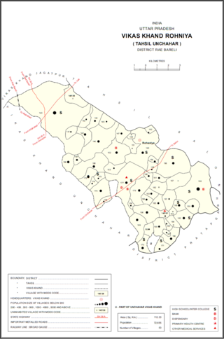
Rohaniya is a village and corresponding community development block in Unchahar tehsil of Rae Bareli district, Uttar Pradesh, India. It is located 43 km from Raebareli, the district headquarters. As of 2011, Rohaniya has a population of 3,880 people, in 751 households. It has one primary school and no healthcare facilities.

Rasulpur is a village in Rohaniya block of Rae Bareli district, Uttar Pradesh, India. One of the largest villages in the historical pargana of Salon, it is located 48 km from Raebareli, the district headquarters. As of 2011, it has a population of 7,671 people, in 1,379 households. It has one primary school and no healthcare facilities.

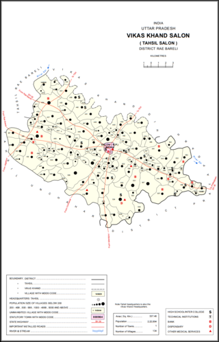
Bara Dih, also spelled Baradih, is a village in Salon block of Rae Bareli district, Uttar Pradesh, India. It is located 3 km northwest of Salon, the block headquarters, close to the point where the Chob stream joins the Sai river. As of 2011, Bara Dih has a population of 2,248 people, in 386 households.


